Skip to content

Flood Map Check

  • Privacy Policy
  • About Flood Map Check
  • Contact
  • Editorial Policy

Fema Flood Maps

Fema Flood Maps guides.

Lee County Florida Flood Zone Map by Address: Map Panel and Local Records
August 31, 2026August 5, 2026 by Flood Map Check
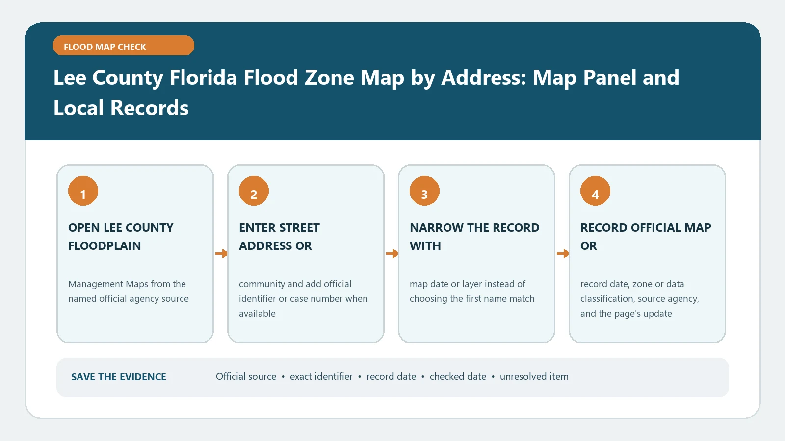
Lee County Florida Flood Zone Map by Address: Map Panel and Local Records verification workflow showing official source, exact identifiers, result fields, date, and escalation step

For a Lee County property, ask the responsible office whether an Elevation Certificate is on file using the address, parcel, and building reference. An older certificate may cover a different structure or form.
Categories Fema Flood Maps

Hillsborough County Flood Map by Address: FEMA Zone vs County Floodplain

August 25, 2026August 5, 2026 by Flood Map Check
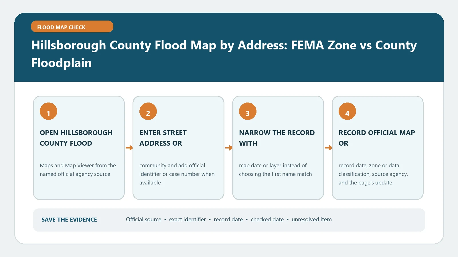
Hillsborough County Flood Map by Address: FEMA Zone vs County Floodplain verification workflow showing official source, exact identifiers, result fields, date, and escalation step

Hillsborough County’s viewer adds local floodplain context to FEMA mapping. Match the address, parcel, effective panel, and layer owner before using the result in project planning.

Categories Fema Flood Maps

Pinellas County Flood Map by Address: Flood Zone vs Evacuation Zone

August 25, 2026August 5, 2026 by Flood Map Check
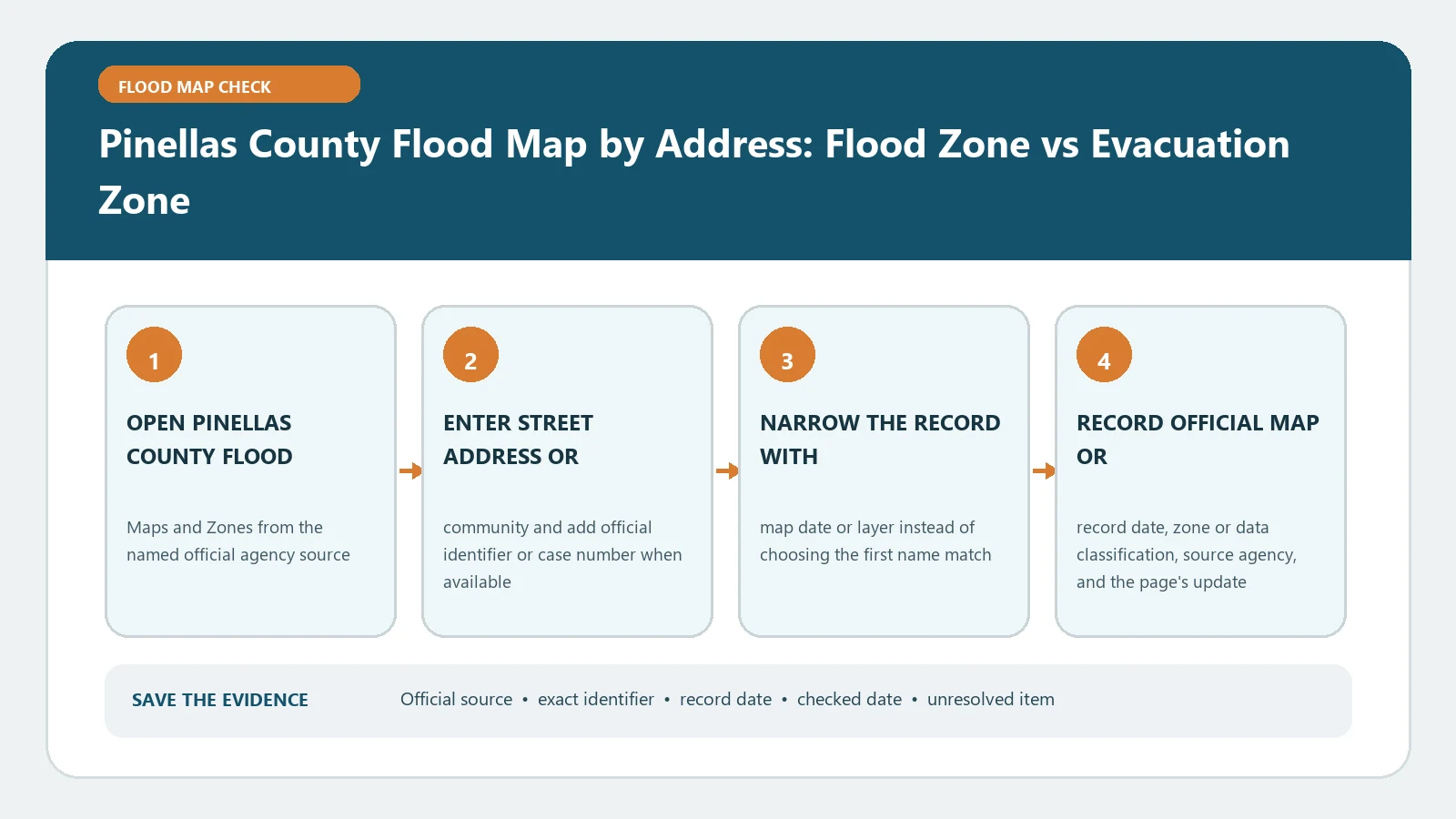
Pinellas County Flood Map by Address: Flood Zone vs Evacuation Zone verification workflow showing official source, exact identifiers, result fields, date, and escalation step

Pinellas flood zones and evacuation zones answer separate questions: mapped hazard versus emergency movement. Confirm the address in each official layer without carrying one boundary into the other.

Categories Fema Flood Maps

Broward County Flood Zone Map by Address: Effective FIRM and Local Flood Information

August 31, 2026August 5, 2026 by Flood Map Check
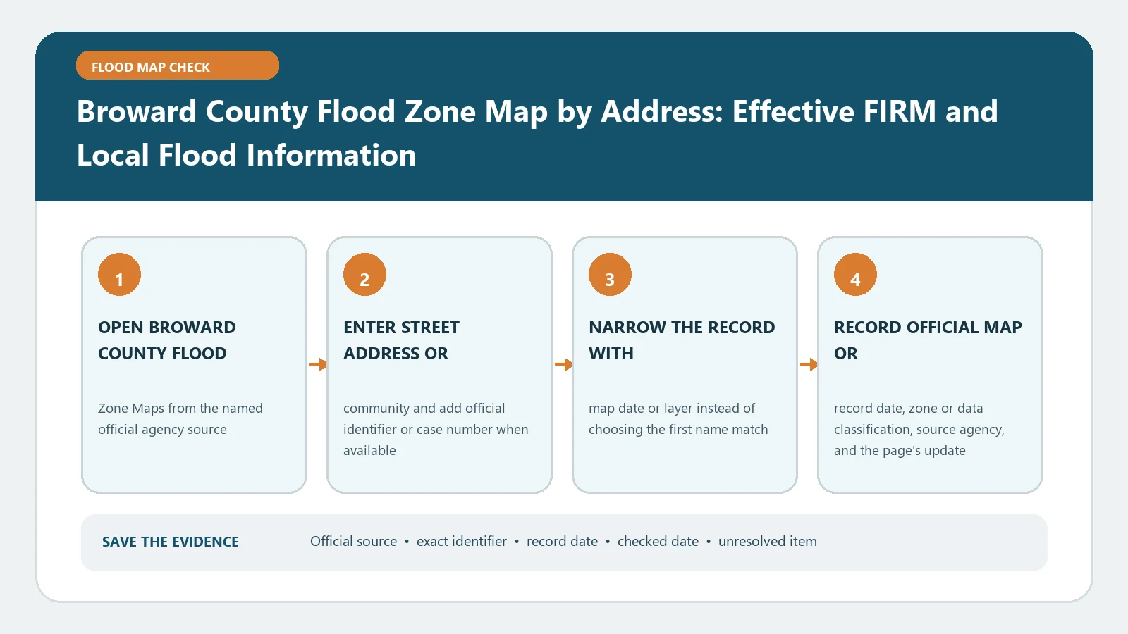
Broward County Flood Zone Map by Address: Effective FIRM and Local Flood Information verification workflow showing official source, exact identifiers, result fields, date, and escalation step

Broward’s viewer can connect an address with local flood information and the applicable effective FIRM. Check the parcel and panel date; map shading cannot settle a lender or permit question.

Categories Fema Flood Maps

Miami-Dade County Flood Zone Map by Address: FEMA Zone, Elevation, and Municipality

August 25, 2026August 5, 2026 by Flood Map Check
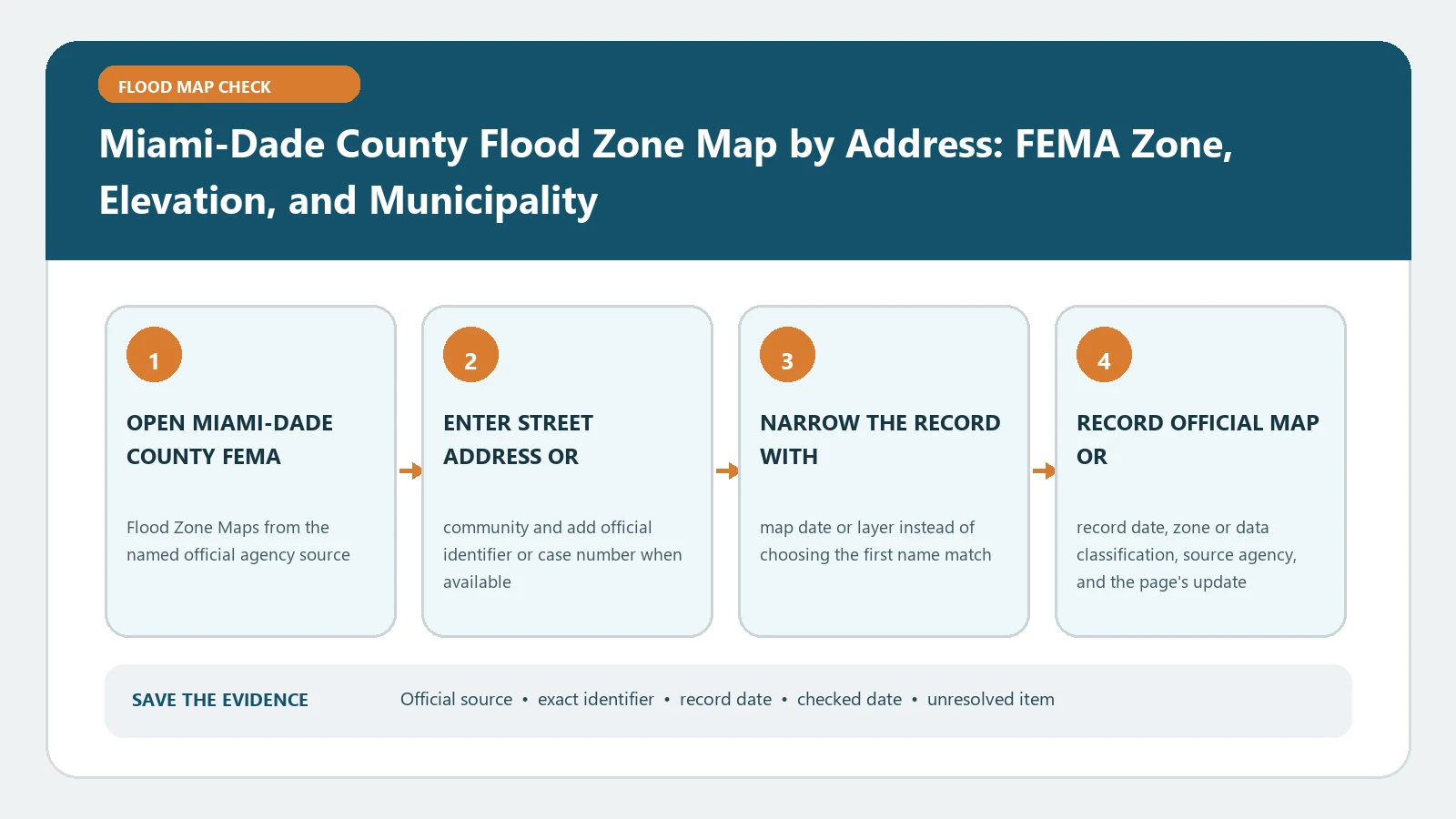
Miami-Dade County Flood Zone Map by Address: FEMA Zone, Elevation, and Municipality verification workflow showing official source, exact identifiers, result fields, date, and escalation step

For a Miami-Dade address, match the municipality and parcel to the county viewer, then record FEMA zone, map date, and elevation context. The displayed layer does not quote insurance or certify the building.

Categories Fema Flood Maps

FEMA Letter of Map Change Fees: Which Requests Cost Money?

August 25, 2026August 5, 2026 by Flood Map Check
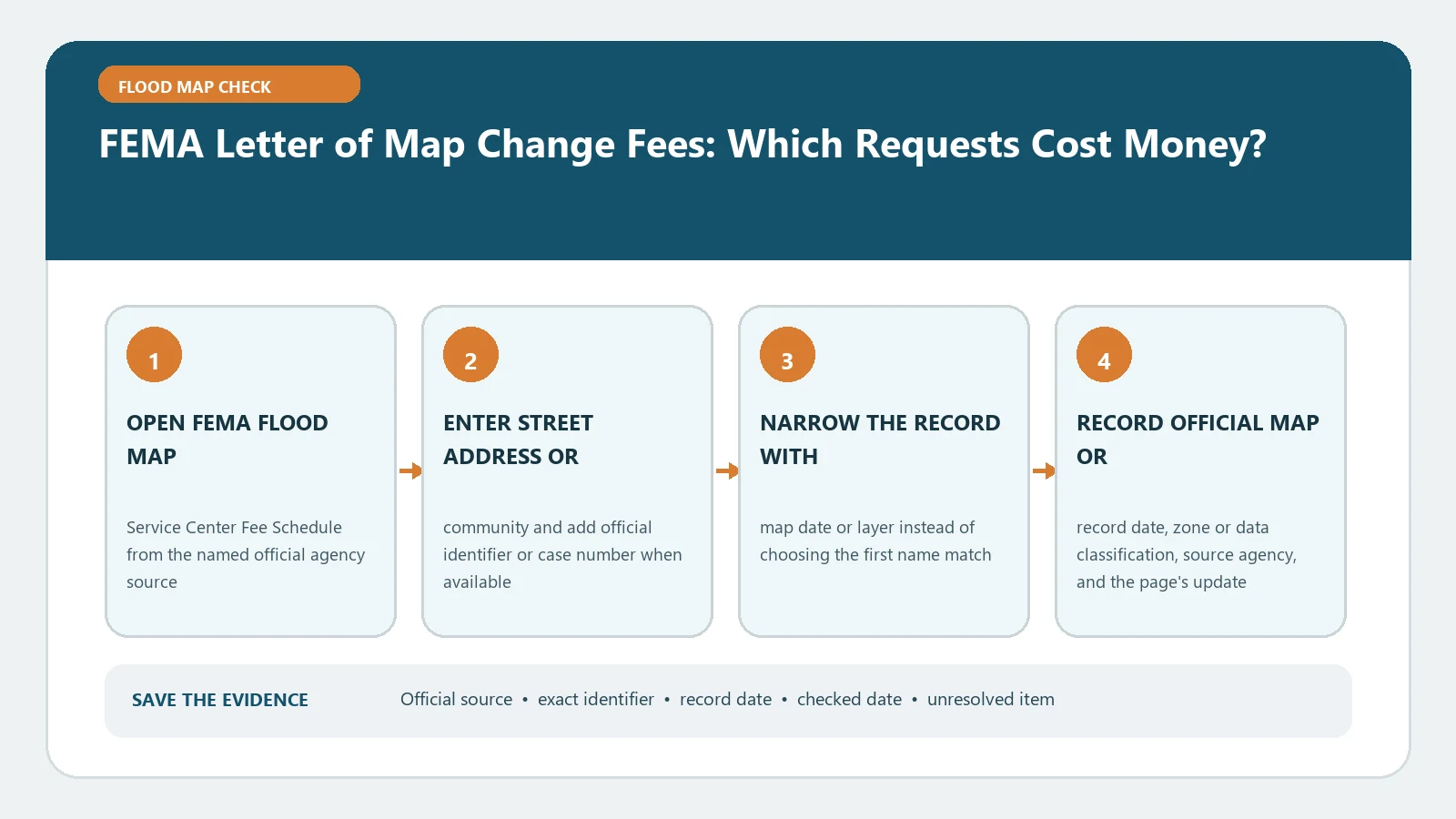
FEMA Letter of Map Change Fees: Which Requests Cost Money? verification workflow showing official source, exact identifiers, result fields, date, and escalation step

Check FEMA’s current fee schedule against the exact LOMA, LOMR-F, CLOMR, or LOMR request type. A similarly named map-change filing may have a different charge or no fee.

Categories Fema Flood Maps

FEMA eLOMA Eligibility Check: When a Surveyor Can Use the Expedited System

August 31, 2026August 5, 2026 by Flood Map Check
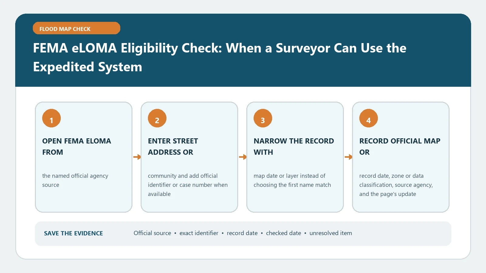
FEMA eLOMA Eligibility Check: When a Surveyor Can Use the Expedited System verification workflow showing official source, exact identifiers, result fields, date, and escalation step

eLOMA is an expedited channel for qualifying simple amendment requests handled by eligible licensed professionals. Screen the property, map conditions, and evidence before treating the case as suitable.

Categories Fema Flood Maps

FEMA Letter of Final Determination: Check the Six-Month Effective-Date Timeline

August 31, 2026August 5, 2026 by Flood Map Check
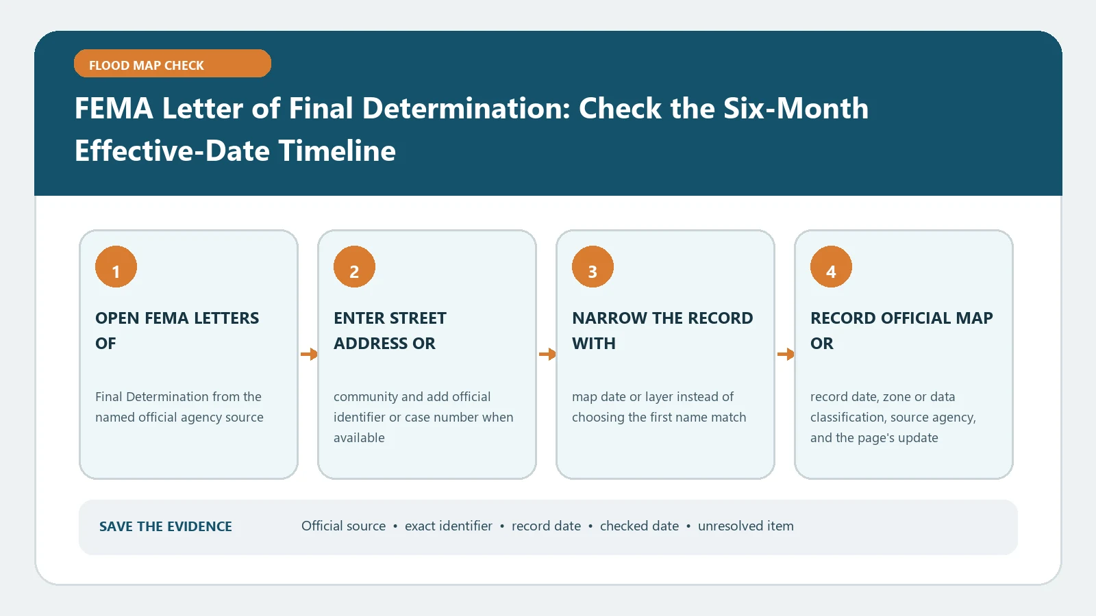
FEMA Letter of Final Determination: Check the Six-Month Effective-Date Timeline verification workflow showing official source, exact identifiers, result fields, date, and escalation step

Use FEMA’s Letter of Final Determination date to trace the stated six-month path toward map effectiveness. The letter announces a schedule; it does not make a proposed FIRM effective immediately.

Categories Fema Flood Maps

Find the Correct FEMA Flood Insurance Study Report for a Community

August 31, 2026August 5, 2026 by Flood Map Check
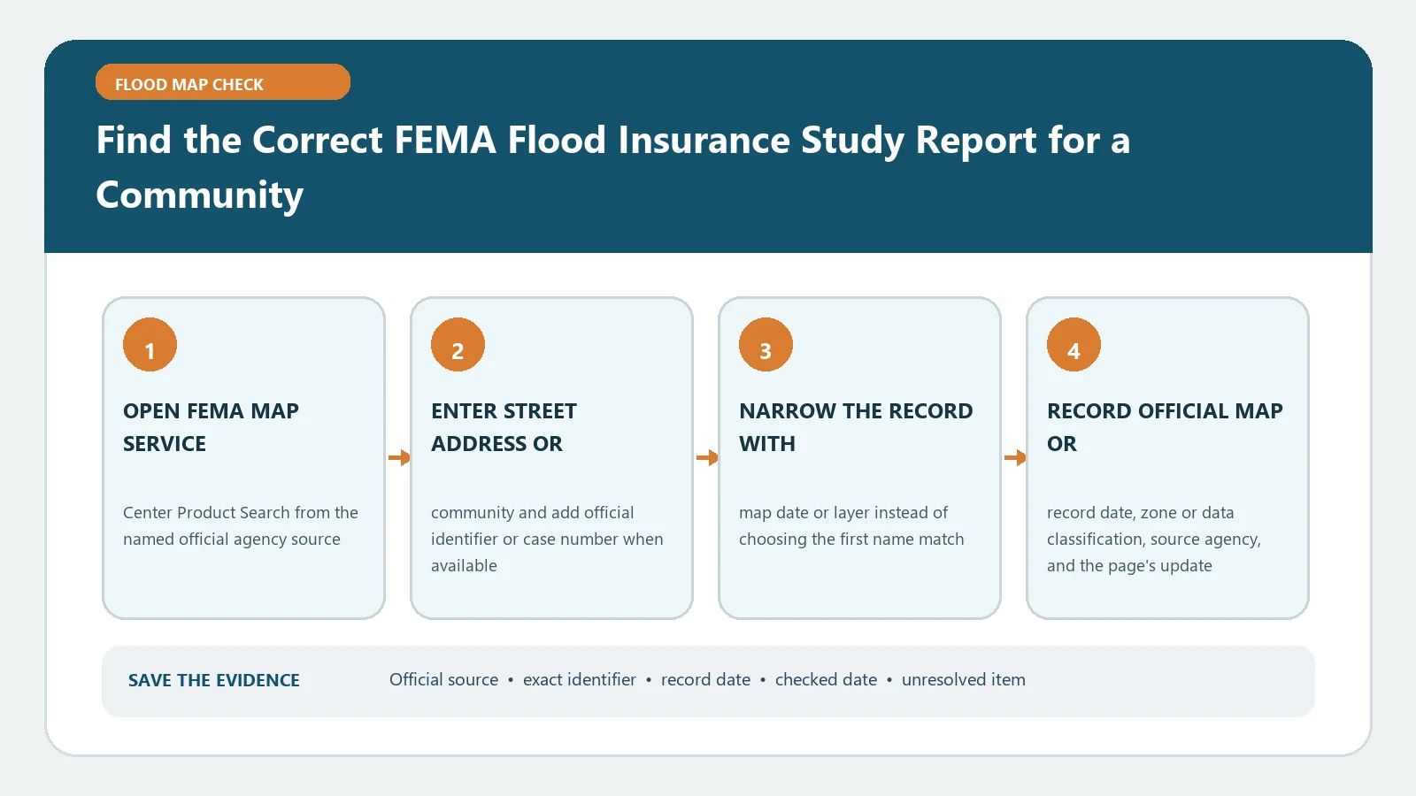
Find the Correct FEMA Flood Insurance Study Report for a Community verification workflow showing official source, exact identifiers, result fields, date, and escalation step

Find a community’s FIS through FEMA Product Search, then match its community number and effective date to the applicable FIRM. Do not borrow an elevation table from a different report.

Categories Fema Flood Maps

Use FEMA’s Flood Map Changes Viewer to Check a Community Map Revision

August 25, 2026August 5, 2026 by Flood Map Check
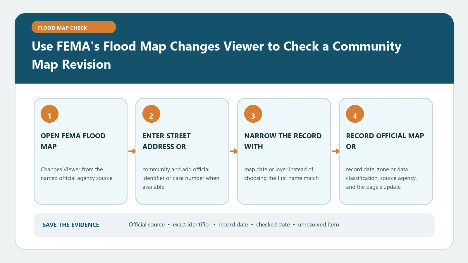
Use FEMA's Flood Map Changes Viewer to Check a Community Map Revision verification workflow showing official source, exact identifiers, result fields, date, and escalation step

In FEMA’s Flood Map Changes Viewer, select the correct community identifier and open the dated revision documents behind each result. Community activity is not a parcel-level flood-zone determination.

Categories Fema Flood Maps
Older posts
Newer posts
← Previous Page1 … Page4 Page5 Page6 Page7 Next →

Recent Posts

  • Sarasota County Flood Zone and Elevation Certificate Search
  • Charlotte County FL Elevation Certificate Search
  • Palm Beach County Flood Zone and Elevation Certificate Search
  • Collier County Flood Map and Elevation Certificate Search
  • Disaster Declaration Incident Type vs Assistance Programs: Filter Flood Events Correctly

Recent Comments

No comments to show.
© 2026 Flood Map Check • Built with GeneratePress