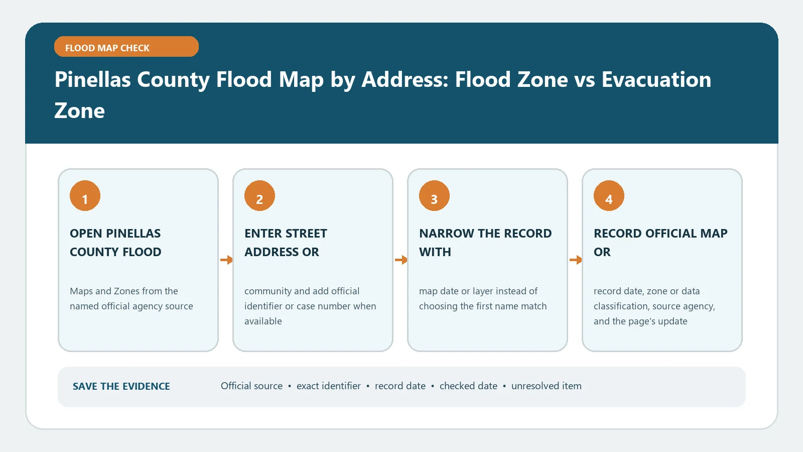
For a Pinellas County address, check the flood-hazard map and the evacuation-zone tool separately. The FEMA FIRM and county floodplain layers describe mapped flood hazards and support regulatory or insurance conversations. The evacuation zone describes where officials may direct people to leave for hurricane storm surge. One letter must never be copied into the other field.
The official Pinellas County Flood Maps and Zones page explains that flood zones, county flood hazard areas, storm surge, and evacuation zones measure different conditions and serve different purposes. The county’s Flood Map Service Center provides the address map, while Know Your Zone provides the evacuation lookup. The federal product crosscheck remains the FEMA Map Service Center. These sources were checked August 26, 2026; reopen them when a storm, map revision, permit, loan, or policy decision is current.
Carry one property identity through both lookups
Begin with the full street address, unit, ZIP code, parcel identifier, municipality or unincorporated status, and the building being reviewed. Pinellas County contains many incorporated municipalities, and postal wording alone may not identify the local authority. Confirm the parcel and structure in the county map before reading any zone.
On a condominium campus, mobile-home park, commercial centre, or large waterfront parcel, note which building and access route matter. If the map pin lands on the road or parcel centre, reposition the review to the structure only after confirming the parcel. Save coordinates and the parcel ID so the flood and evacuation searches can be compared against the same place.
Read the effective FEMA and county hazard layers first
In the Pinellas flood map, record the FEMA zone, effective panel information, boundary relationship, and any shown BFE. Also note whether the county flood hazard layer is active. The county page states that its local floodplain maps can show additional high-risk areas developed from watershed and coastal studies, while federal flood-insurance requirements are based on the FEMA FIRM. Preserve those results in separate rows.
Confirm the effective federal product through FEMA and save the complete panel number and date. Use FEMA Flood Map by Address if the product list is unfamiliar. For zone labels, Flood Zone AE, VE, and X Meaning explains the distinctions without turning them into guarantees about one building.
If the structure touches a boundary, record both sides and the selected footprint. Do not assign the parcel the colour covering the largest area. Development questions may require the county or municipal floodplain office to review a more precise location and local standards.
Run Know Your Zone without importing the flood result
Open the evacuation tool independently and search the same verified address. Record the evacuation level returned, including a non-evacuation result, the lookup date, and the selected location. The county describes evacuation zones as storm-surge-based areas marked A through E plus non-evacuation areas. Officials may order evacuation by zone during a tropical event.
An A evacuation zone is not FEMA Zone A. A non-evacuation result is not evidence that the property has low flood risk. A property can be outside an evacuation zone and still sit in a high-risk FEMA or county flood area because of a stream, pond, rainfall, or another source. Keep emergency notifications open during an event because the lookup does not itself issue the current order.
Add storm surge as a third record, not a translation
The county flood map service also presents storm-surge information. Use it to understand scenario-based coastal inundation and emergency planning, but label the scenario and source. It does not replace the effective FIRM and should not be reported as the property’s federal flood zone.
The distinction in Storm Surge Inundation Map vs FEMA FIRM is especially useful for Pinellas. A surge scenario answers where water may extend under a modelled storm. The FIRM maps NFIP flood hazards for its own regulatory and insurance purposes. The evacuation zone converts emergency-planning information into a public movement framework. Three related records remain three records.
Diagnose a mismatch before calling either tool wrong
First compare the search point, parcel, and municipality. Next compare active layers, dates, and scenario names. Then check whether one display is the effective FEMA layer, a county floodplain study, a storm-surge scenario, or an evacuation zone. Most apparent contradictions disappear when each result is returned to its own purpose.
If the address fails, search by parcel or verified coordinate in the flood map and contact county support for the evacuation lookup. If FEMA and the county FIRM display differ, preserve screenshots and panel details, then ask the floodplain office which local record it uses. If an insurance or lender determination differs from the public map, ask the issuer for its selected point, community number, panel, suffix, and effective date.
Route the answer to the office that owns the decision
Use the floodplain or building authority for development standards and local determinations. Use the lender or its determination provider for mortgage requirements. Use a licensed insurance professional for coverage and price. Use Pinellas County emergency management for evacuation instructions. A map screenshot can support each conversation but cannot approve a permit, bind coverage, overturn a lender decision, or cancel an evacuation order.
For a coastal property, also ask whether Coastal A, LiMWA, or V-zone construction information affects proposed work. For an inland property, do not ignore county watershed or drainage information merely because the evacuation field says none.
Save a three-column Pinellas zone sheet
Create columns for FEMA or county flood hazard, storm-surge scenario, and evacuation zone. Under each, save the selected address and parcel, source URL, layer name, result, date, map or scenario date, screenshot, and responsible office. Add an open-questions row for boundary crossings or mismatches.
The finished sheet should preserve:
- one verified parcel and structure identity across all columns;
- the complete FEMA zone and panel date;
- the named county hazard or surge layer and scenario;
- the evacuation level and current instruction source;
- a separate owner for development, insurance, mortgage, and emergency follow-up.
The final finding should say what each official source displayed for the matched property on the checked date. It does not predict whether the building will flood or establish safety, coverage, permit compliance, or the next evacuation order. This separation is the practical value of the lookup: the same address reaches the right decision owner with the right evidence instead of carrying one ambiguous zone letter everywhere.