Skip to content

Flood Map Check

  • Privacy Policy
  • About Flood Map Check
  • Contact
  • Editorial Policy

Fema Flood Maps

Fema Flood Maps guides.

Elevation Certificate Latitude and Longitude: Check Source, Datum, and Precision
August 6, 2026 by Flood Map Check
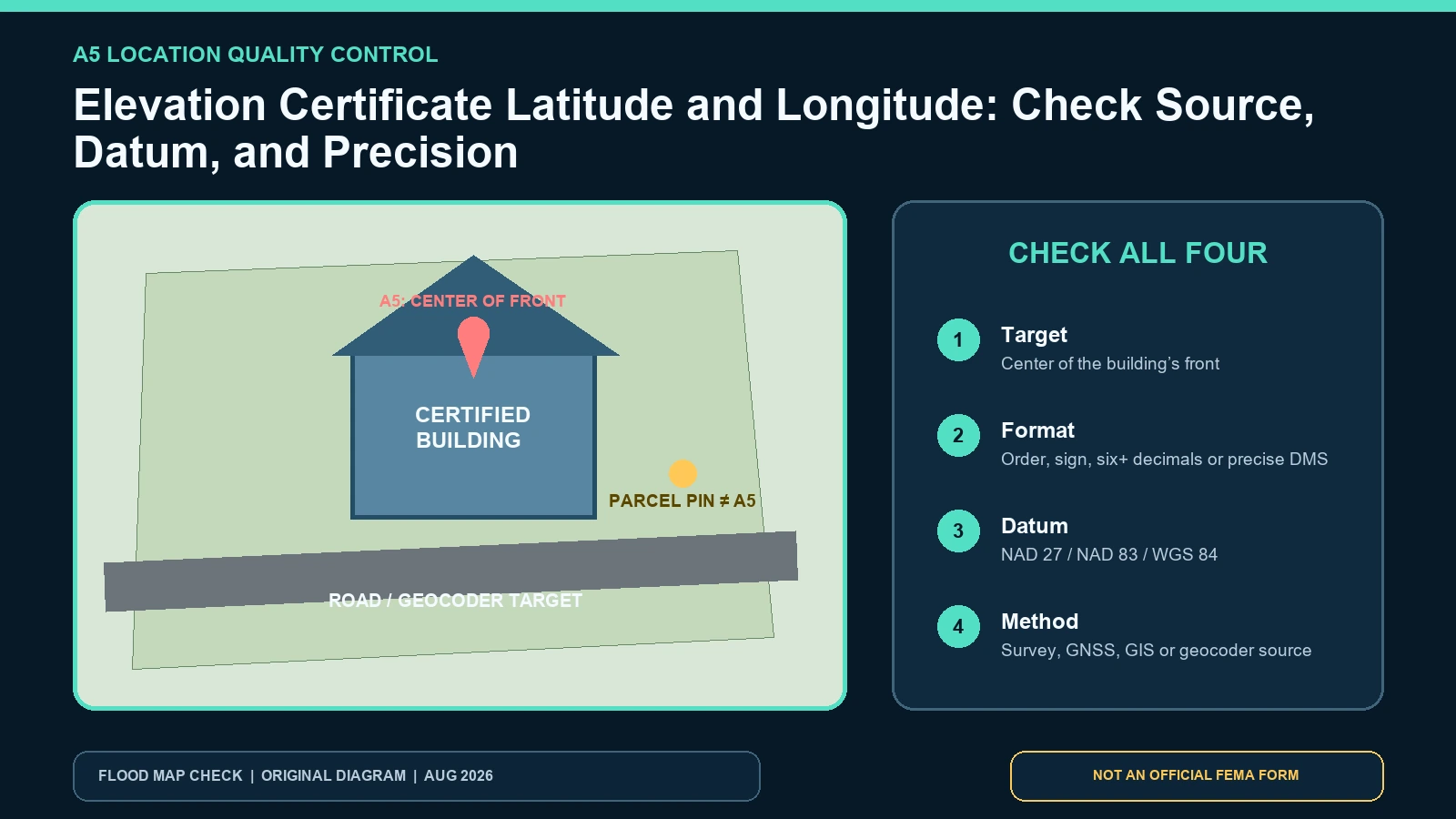
Coordinate quality-control diagram distinguishing a parcel pin from the center of the front of the building and showing horizontal datum and source checks

Check Elevation Certificate latitude and longitude against the building, coordinate format, horizontal datum, and documented source method.
Categories Fema Flood Maps

Elevation Certificate Building Photographs: Date, View, and Identification Requirements

August 6, 2026 by Flood Map Check
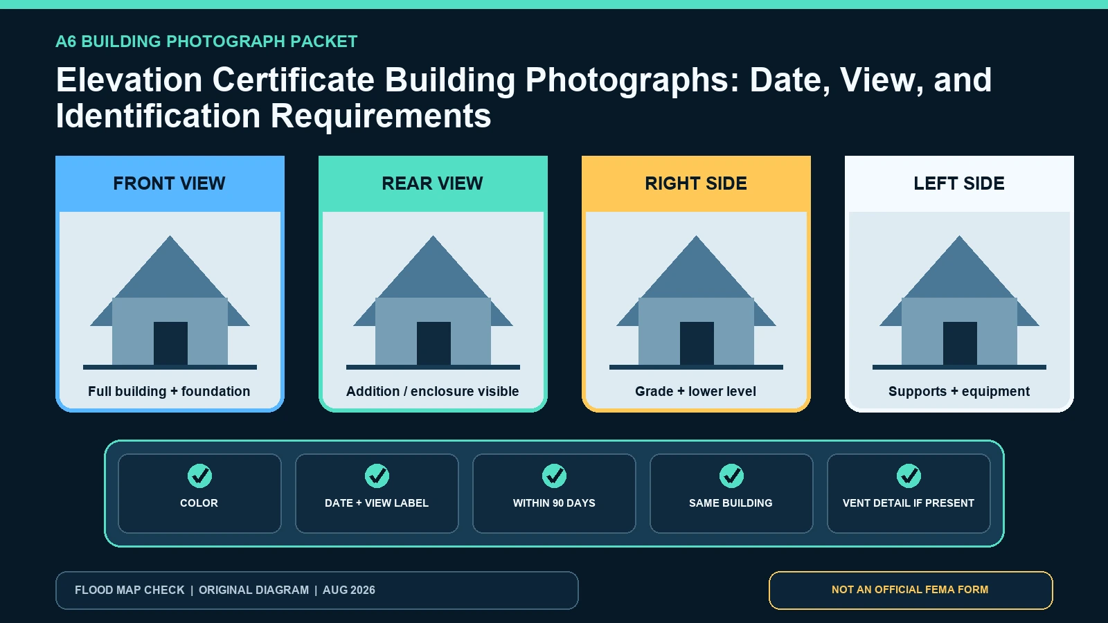
Four-view Elevation Certificate photo contact sheet showing front, rear, left, right, foundation, date, and building identifier checks

Build an Elevation Certificate photo packet with current color views, dates, building identification, foundation context, and vent details.
Categories Fema Flood Maps

Elevation Certificate Benchmark and Vertical Datum: Trace the Elevation Reference

August 6, 2026 by Flood Map Check
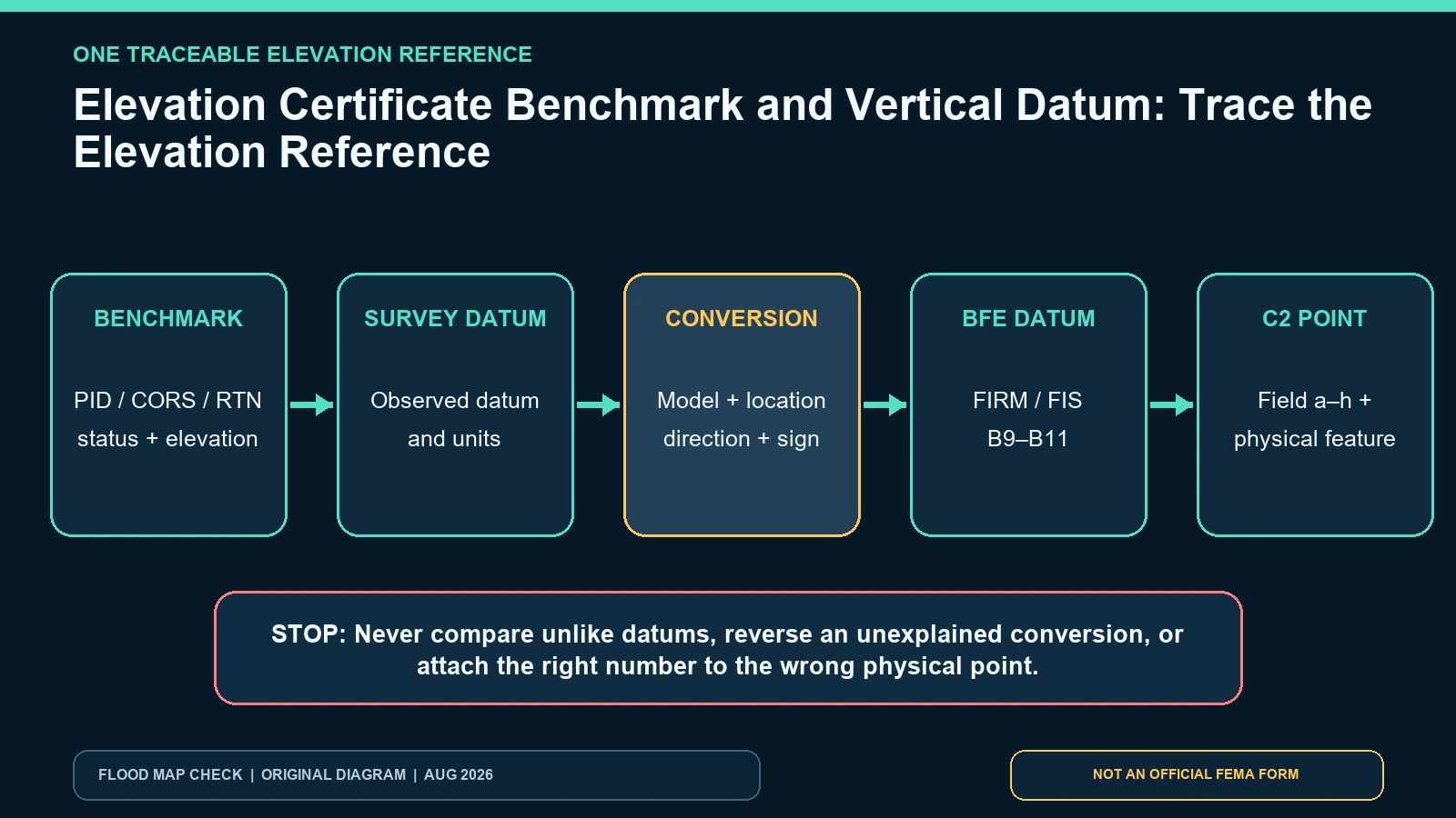
Trace diagram connecting a survey benchmark, vertical datum, documented conversion, BFE datum, and Elevation Certificate C2 values

Trace an Elevation Certificate from benchmark ID through vertical datum and conversion to the BFE before comparing any C2 elevation.
Categories Fema Flood Maps

Correcting an Elevation Certificate: Error, Amendment, and Replacement Workflow

August 6, 2026 by Flood Map Check
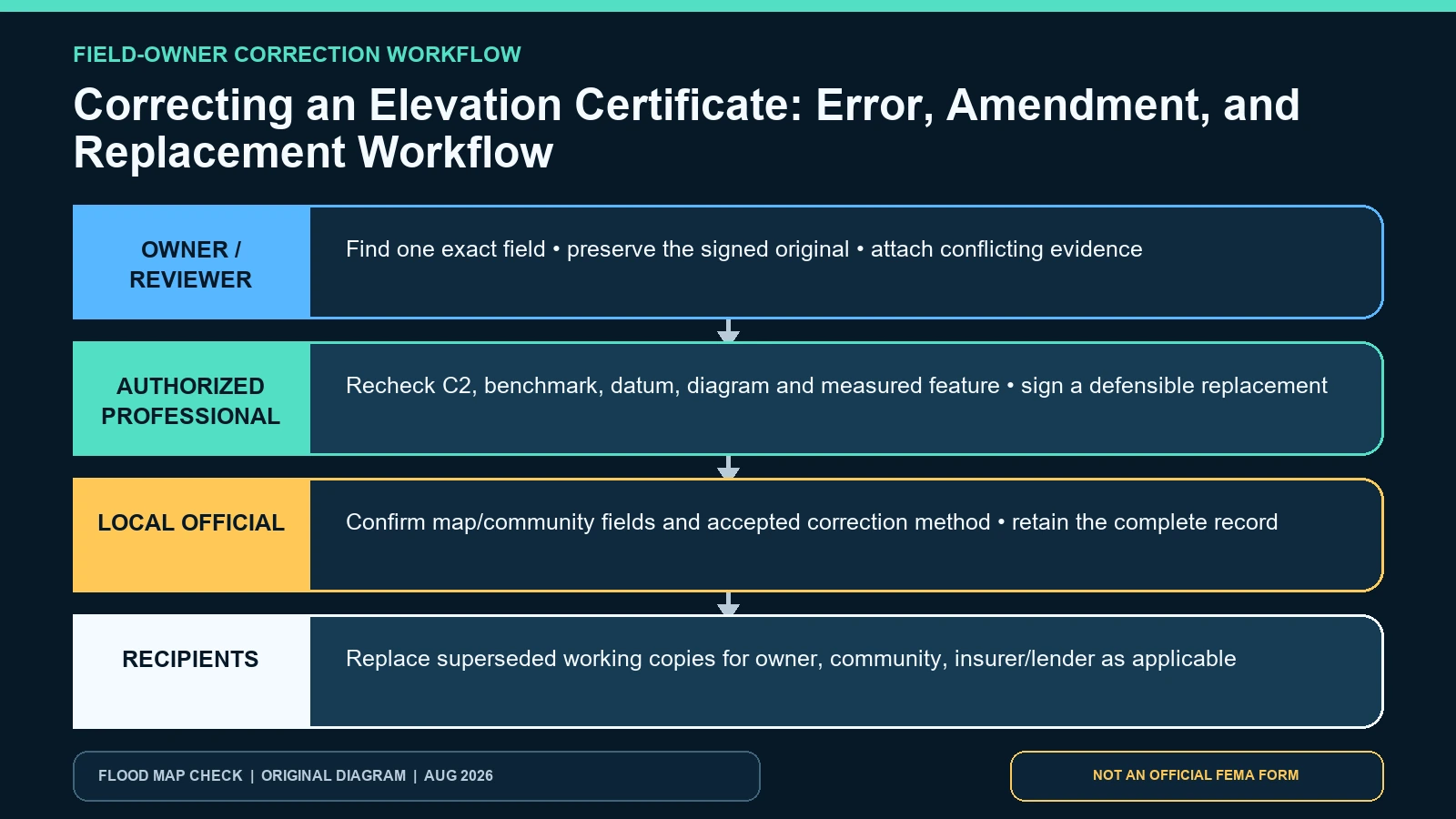
Swimlane diagram routing Elevation Certificate errors to the owner, original certifier, local official, and receiving party

Identify the wrong Elevation Certificate field, preserve the signed original, and route the correction to the authorized professional or official.
Categories Fema Flood Maps

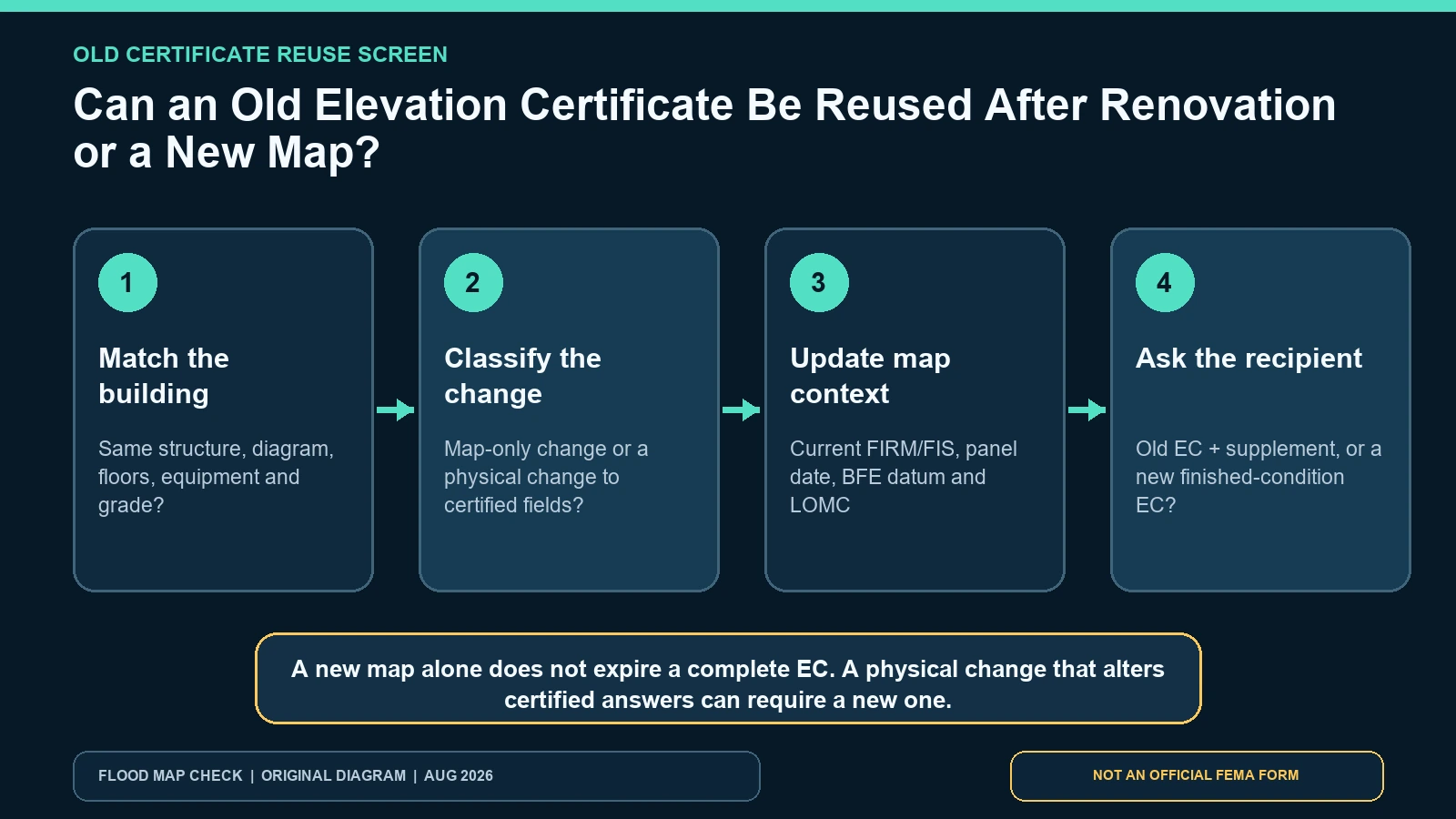
Can an Old Elevation Certificate Be Reused After Renovation or a New Map?

August 6, 2026 by Flood Map Check
Decision timeline showing when an old Elevation Certificate can be reviewed for reuse and when a new certificate is needed

Use FEMA’s physical-change test to decide whether an old Elevation Certificate can be reused, updated with current map evidence, or replaced.
Categories Fema Flood Maps

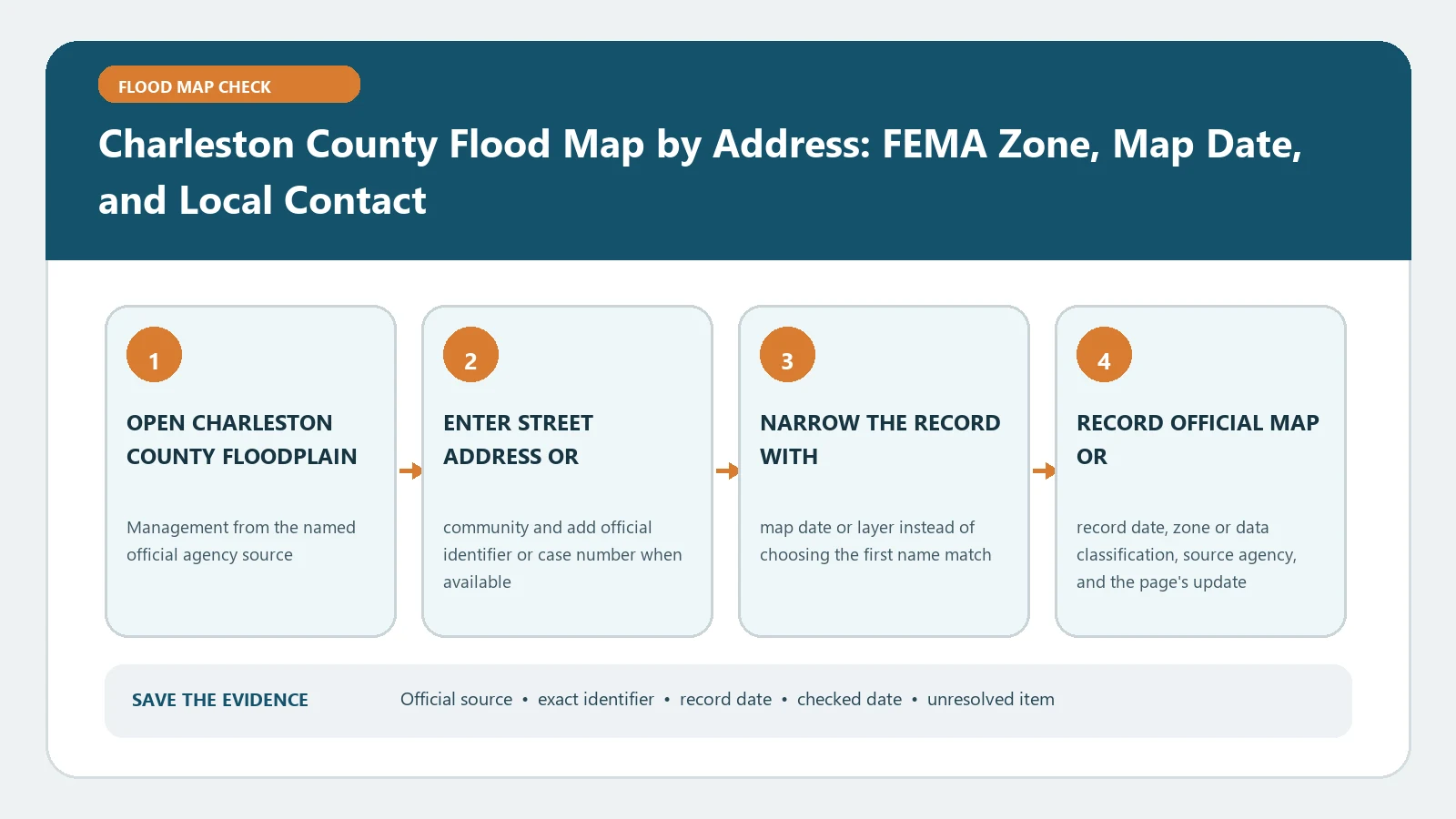
Charleston County Flood Map by Address: FEMA Zone, Map Date, and Local Contact

August 25, 2026August 5, 2026 by Flood Map Check
Charleston County Flood Map by Address: FEMA Zone, Map Date, and Local Contact verification workflow showing official source, exact identifiers, result fields, date, and escalation step

For Charleston County, save the address match, FEMA zone, panel, and effective date before contacting floodplain staff. A map result alone cannot certify elevation or authorize construction.
Categories Fema Flood Maps

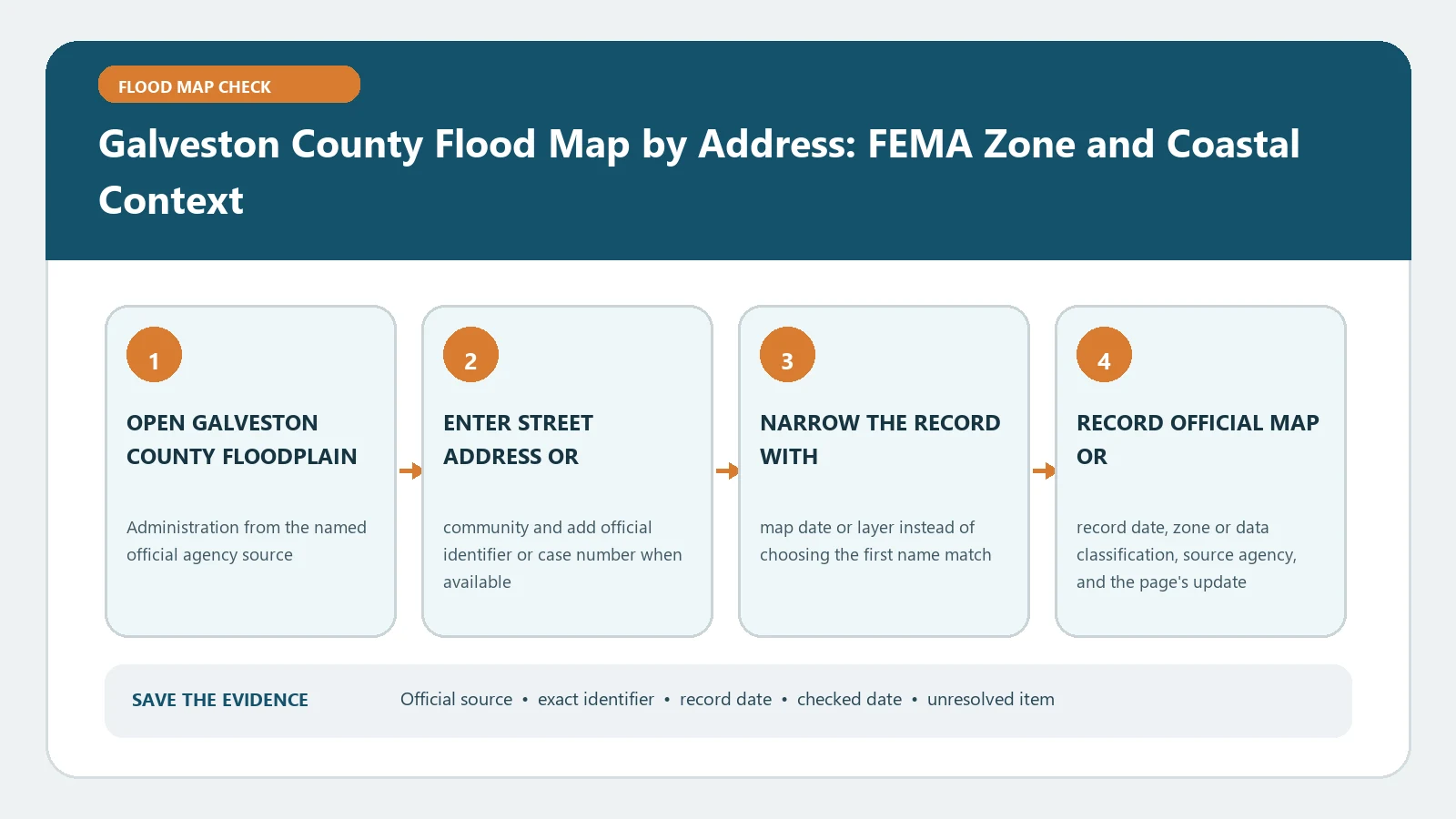
Galveston County Flood Map by Address: FEMA Zone and Coastal Context

August 25, 2026August 5, 2026 by Flood Map Check
Galveston County Flood Map by Address: FEMA Zone and Coastal Context verification workflow showing official source, exact identifiers, result fields, date, and escalation step

Galveston County’s FEMA zone is one part of a coastal property review. Confirm the parcel and effective panel, then keep surge, local floodplain, permit, and insurance questions with their proper sources.
Categories Fema Flood Maps

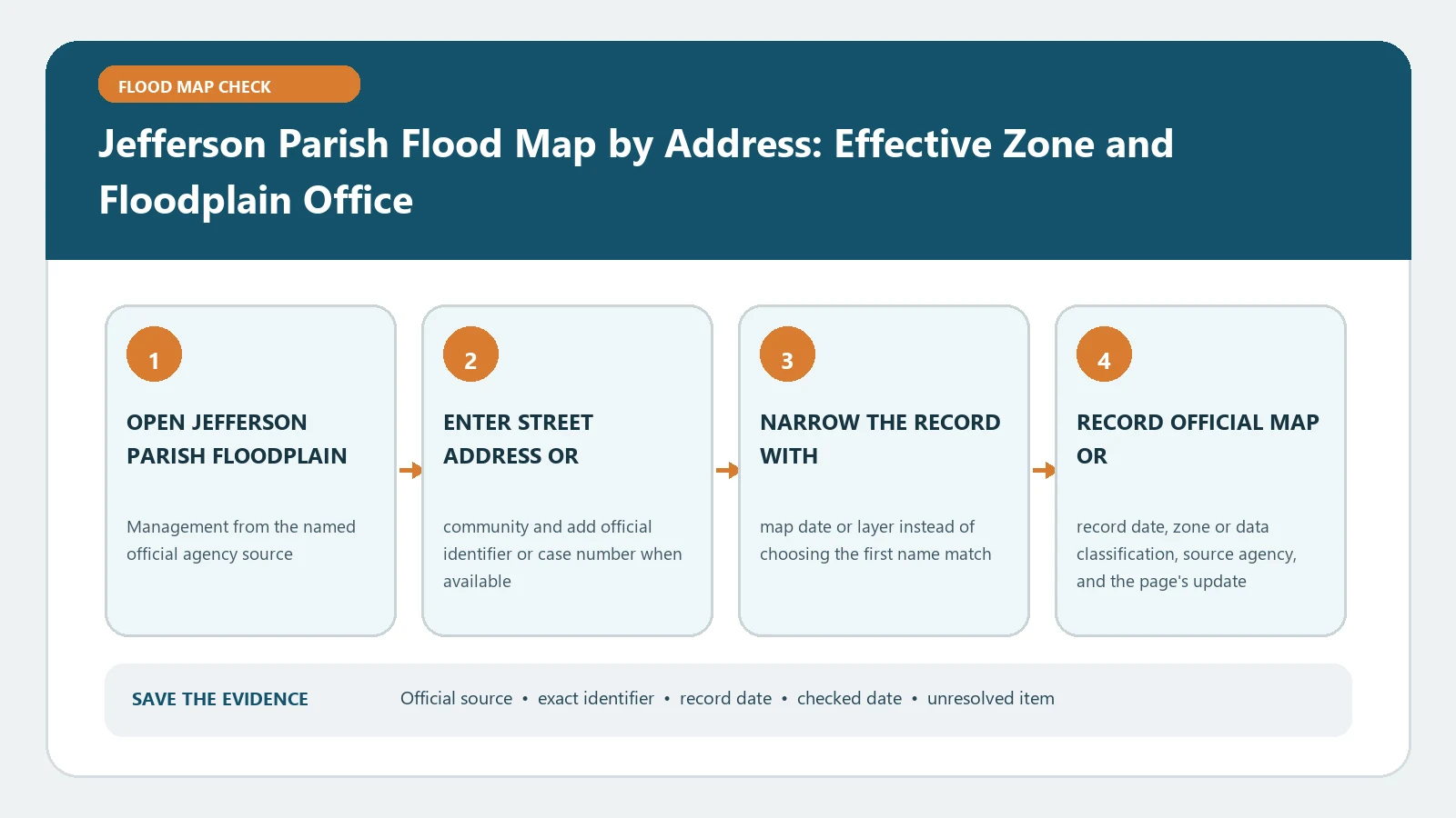
Jefferson Parish Flood Map by Address: Effective Zone and Floodplain Office

August 25, 2026August 5, 2026 by Flood Map Check
Jefferson Parish Flood Map by Address: Effective Zone and Floodplain Office verification workflow showing official source, exact identifiers, result fields, date, and escalation step

Search a Jefferson Parish address, preserve the effective zone and panel date, then consult parish floodplain staff about unresolved parcel questions. The viewer is evidence, not an approval.
Categories Fema Flood Maps

New Orleans Flood Map by Address: FEMA FIRM, Elevation, and Local Requirements

August 25, 2026August 5, 2026 by Flood Map Check
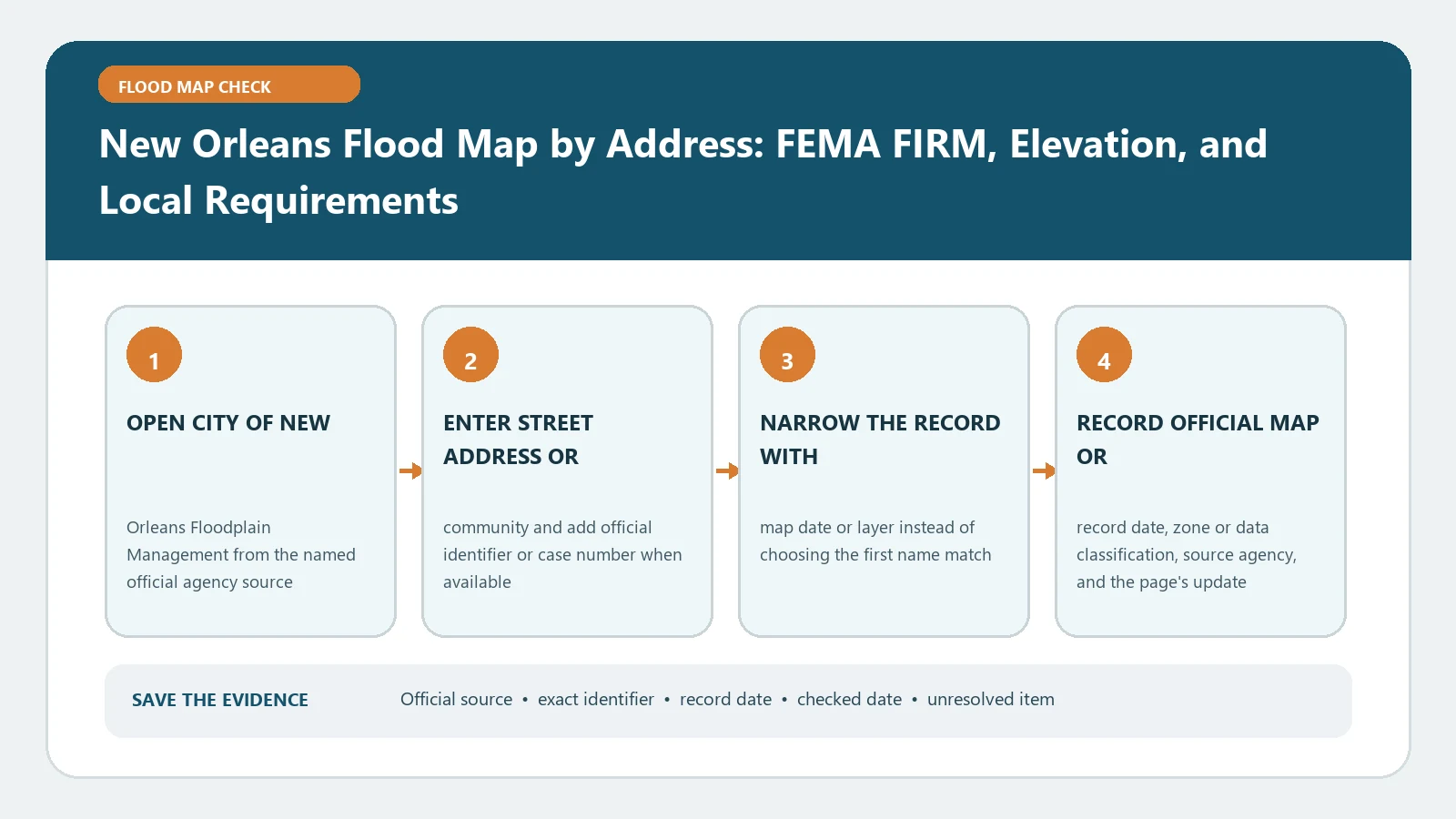
New Orleans Flood Map by Address: FEMA FIRM, Elevation, and Local Requirements verification workflow showing official source, exact identifiers, result fields, date, and escalation step

In New Orleans, pair the effective FIRM details with city floodplain requirements and any relevant elevation record. A FEMA zone alone cannot state the project’s local compliance elevation.
Categories Fema Flood Maps

Jacksonville and Duval County Flood Map by Address: Effective FEMA Zone

August 25, 2026August 5, 2026 by Flood Map Check
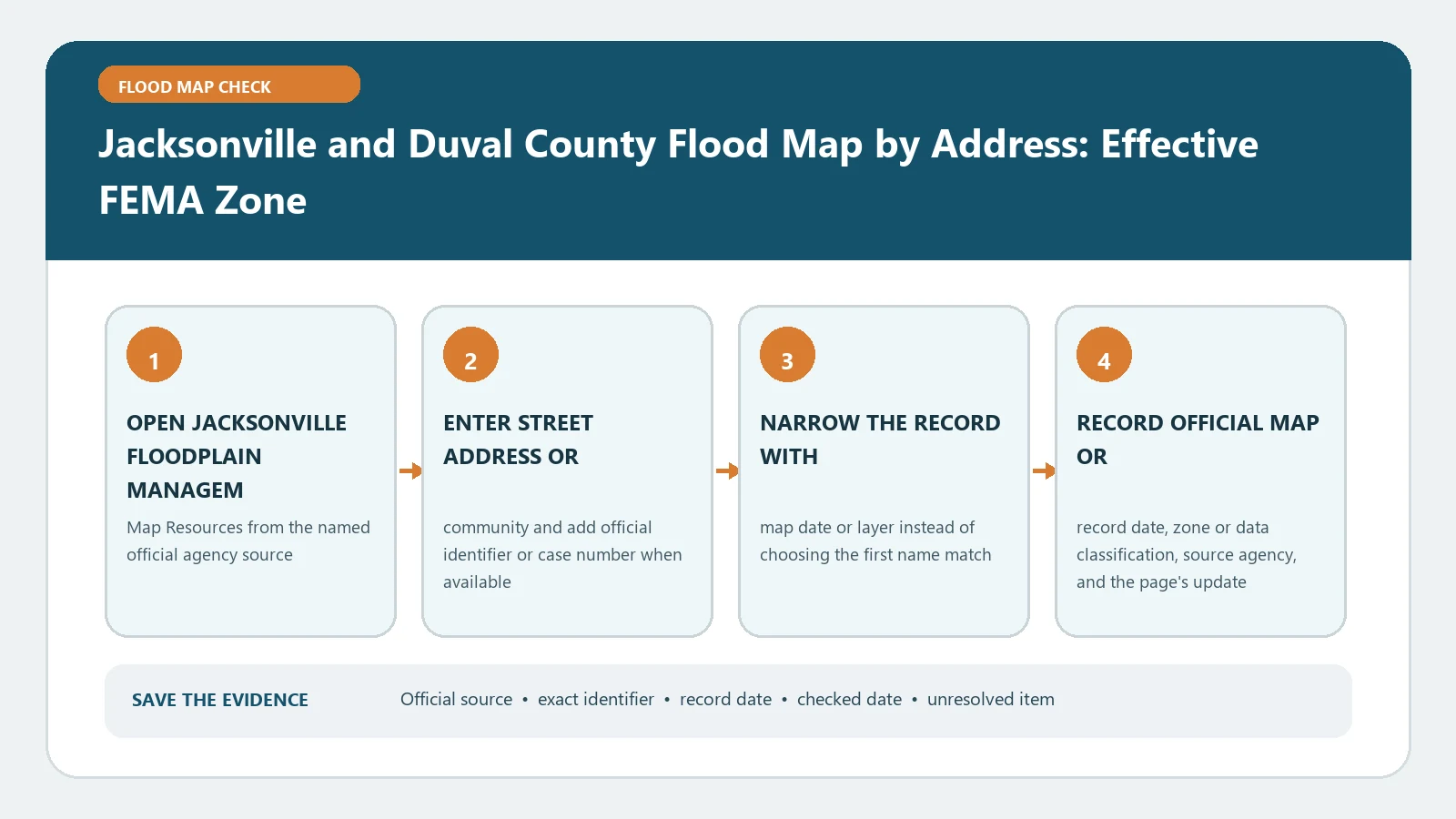
Jacksonville and Duval County Flood Map by Address: Effective FEMA Zone verification workflow showing official source, exact identifiers, result fields, date, and escalation step

Jacksonville’s floodplain resources can route a Duval County address to its effective FEMA map context. Record the exact parcel, zone, panel, and date rather than relying on the search pin.

Categories Fema Flood Maps
Older posts
Newer posts
← Previous Page1 … Page3 Page4 Page5 … Page7 Next →

Recent Posts

  • Sarasota County Flood Zone and Elevation Certificate Search
  • Charlotte County FL Elevation Certificate Search
  • Palm Beach County Flood Zone and Elevation Certificate Search
  • Collier County Flood Map and Elevation Certificate Search
  • Disaster Declaration Incident Type vs Assistance Programs: Filter Flood Events Correctly

Recent Comments

No comments to show.
© 2026 Flood Map Check • Built with GeneratePress