Hillsborough County has two flood-map questions that must be recorded separately: the effective FEMA flood zone and the county floodplain from watershed studies. The county states that federal flood-insurance requirements use the FEMA FIRM, while county floodplains can affect local development regulation. One address can therefore produce two valid but different boundaries.
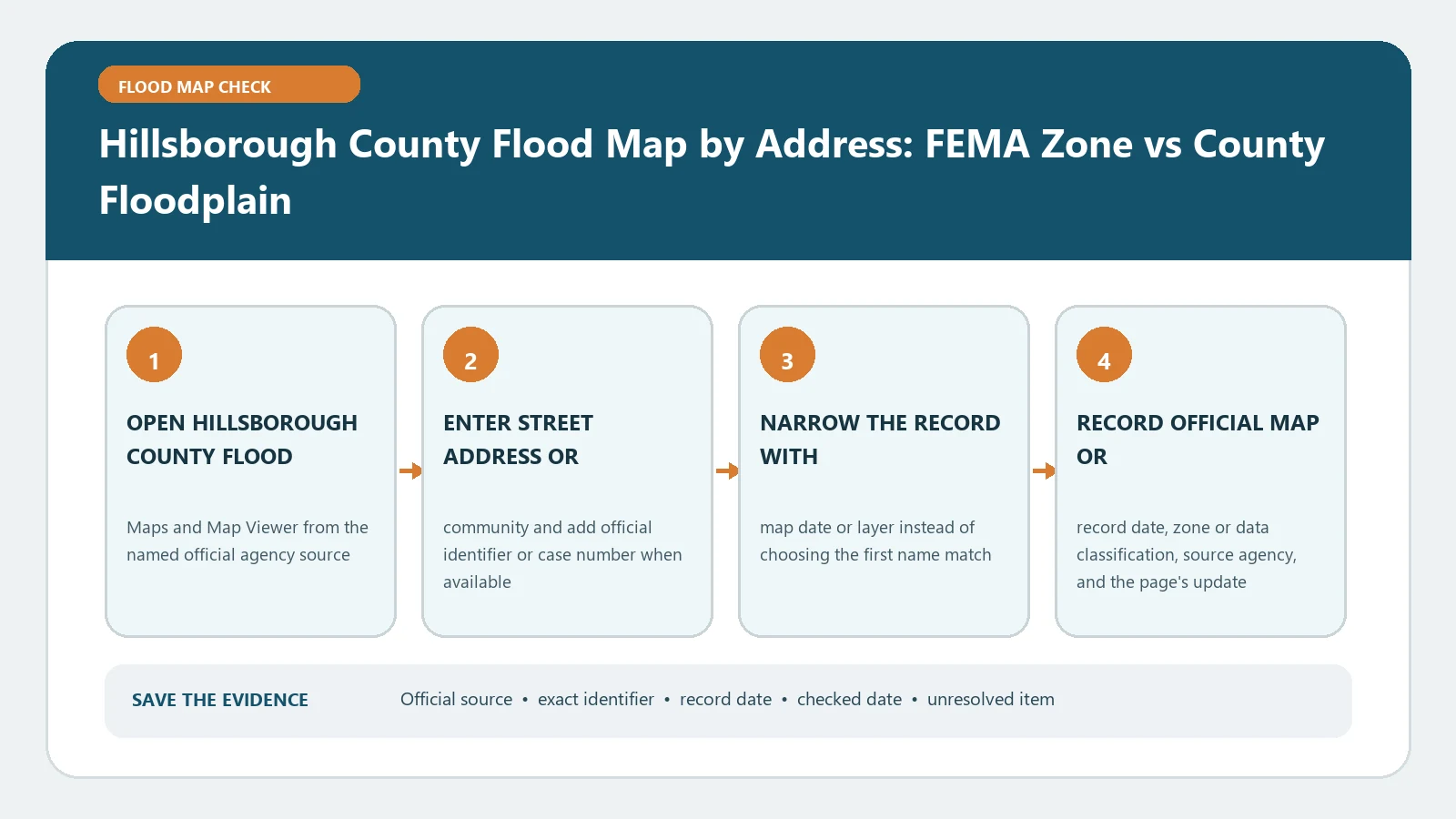
Begin at the official Hillsborough Flood Maps page and its Find My Flood Zone guide. The first routes users to both viewers; the second explains their distinct purposes and notes that the county watershed models do not include coastal storm surge. Checked August 26, 2026.
Create a two-row property workbook
Before opening either viewer, record the full address, parcel identification number, incorporated city or unincorporated county status, and building location. Put the FEMA result in one row and the county floodplain result in another. Give each row its own source, layer, checked date, and interpretation.
This format prevents a county floodplain polygon from being mislabeled as the FEMA insurance zone. It also prevents an X-zone FEMA result from being treated as proof that county development review has no floodplain concern.
Retrieve the effective FEMA row
Use the county’s linked FEMA Effective Flood Zone Viewer or the FEMA Map Service Center. Search the address, verify the parcel and building point, and record the flood zone, floodway status, full FIRM panel number and suffix, and effective date. Open the legend and inspect any map changes affecting the site.
If the selected point lies near a zone or panel line, reposition only after verifying the building footprint. Save the coordinates and a FIRMette or panel extract that retains the title block. FEMA Flood Map by Address provides a reproducibility checklist for the federal row.
Retrieve the county floodplain row
Open the county-linked Hillsborough County Floodplain Viewer. Search the same parcel and turn on the county floodplain information identified by the official guidance. Record the layer name, watershed or study context shown, boundary relationship to the building or proposed work, and lookup date.
Do not assume the county polygon has the same data inputs as FEMA mapping. Hillsborough specifically says its county watershed models do not include coastal storm surge. For coastal property, retain a separate surge and coastal-risk inquiry rather than stretching the inland county model beyond its stated scope. Coastal Flood Map Check explains that additional layer.
Compare four possible outcomes
- Both rows show the site in a high-risk area. Preserve both boundaries and ask the local office which development standards apply in addition to the federal map consequence.
- FEMA shows an SFHA while the county layer does not. Use the effective FIRM for federal map status and investigate why the county study differs rather than deleting either row.
- The county floodplain covers the site while the FEMA FIRM does not show an SFHA. Federal insurance requirements are not created by relabeling the county polygon, but county development controls may still apply.
- Neither displayed boundary covers the selected point. State only that result for the checked layers and date. Other flooding, drainage, surge, or future-map hazards can remain.
Use Regulatory Floodway vs Floodplain when a floodway layer appears. A floodway is not simply the darkest portion of either general floodplain display.
Send each decision to its owner
For federally required flood insurance or a lender’s zone determination, preserve the FEMA FIRM evidence and use the insurer or lender’s written process. For land development, fill, grading, renovation, or a permit, provide both rows to the jurisdiction’s floodplain and permitting staff. Confirm whether the parcel is inside Tampa, Temple Terrace, Plant City, or unincorporated Hillsborough because the responsible office can differ.
For mitigation planning, ask Public Works about the county study, property visit, or locally applicable guidance. The map viewer itself does not approve work, certify a finished-floor elevation, or calculate an insurance rate.
Diagnose a viewer mismatch
First check that both searches selected the same parcel and building. Then compare layer owner, status, study date, map scale, coordinate, and modeled hazard. A mismatch can be expected when the two sources answer different questions. It becomes an error only after those distinctions are controlled.
If a viewer is blank or will not load, keep the exact address, parcel, browser time, and failed layer. Use the official guidance page to reach the current link and ask the responsible county office for the same named layer. Do not substitute an unlabeled commercial map.
Add map status and change control
Repeat the two-row lookup when FEMA publishes a preliminary or pending map, when Hillsborough updates a watershed study, or when the parcel or building footprint changes. Add a new dated row rather than overwriting the earlier one. For the FEMA side, record whether the product is effective, preliminary, pending, or historic and retain any LOMC affecting the location. For the county side, record the exact layer and study date shown by the viewer.
If a future FEMA boundary differs, keep it as a planning signal until its stated effective status changes. Ask the county how a new or revised watershed layer is used in an active permit. The two sources can change on different schedules, which is another reason not to compress them into one current flood-zone field.
Use the workbook for a proposed project
Draw the proposed work area separately from the parcel outline and existing building. Note whether grading, fill, an addition, utilities, access, or drainage work touches either mapped boundary. Ask the responsible city or county office which boundary, elevation source, and documentation it will review before design is finalized.
Record the response with staff office, date, project description, map or study reference, required submission, and unresolved condition. A verbal direction is useful for routing, but preserve the written permit requirement or plan-review comment that controls the project. Neither viewer substitutes for an approved floodplain-development permit or site-specific engineering analysis.
Record the answer without merging it
The finished workbook should show property identity, jurisdiction, FEMA zone and panel metadata, county floodplain layer and study context, building relationship to each boundary, coastal limitation, checked date, and next decision owner. Keep screenshots or reports with full legends.
The defensible conclusion can be that the property matches both layers, only the FEMA layer, only the county layer, neither displayed layer, or remains unresolved. That result is more useful than a single flood-zone label because it preserves why the maps differ and which authority uses each one.