Flood Risk Map by Address: Choose the Right Official Map by Country
Choose the official flood map for your country and purpose, then check the location, hazard, map date, source owner, and limits before using the result.
Choose the official flood map for your country and purpose, then check the location, hazard, map date, source owner, and limits before using the result.
Search a U.S. address in FEMA’s Map Service Center, confirm the effective FIRM panel and date, read the zone and BFE if shown, and check later map changes.
Check Sarasota County Florida flood maps and available Elevation Certificates, match the parcel, and compare document dates, map panels, BFE, and vertical datum.
Search Charlotte County Florida Elevation Certificates by address or permit, verify unincorporated jurisdiction, and compare the form to the current flood map.
Check a Palm Beach County flood zone, Base Flood Elevation, and available Elevation Certificate while separating unincorporated county and city records.
Check a Collier County flood zone in the effective map, find an elevation certificate on file, and compare elevations without overreading the result.
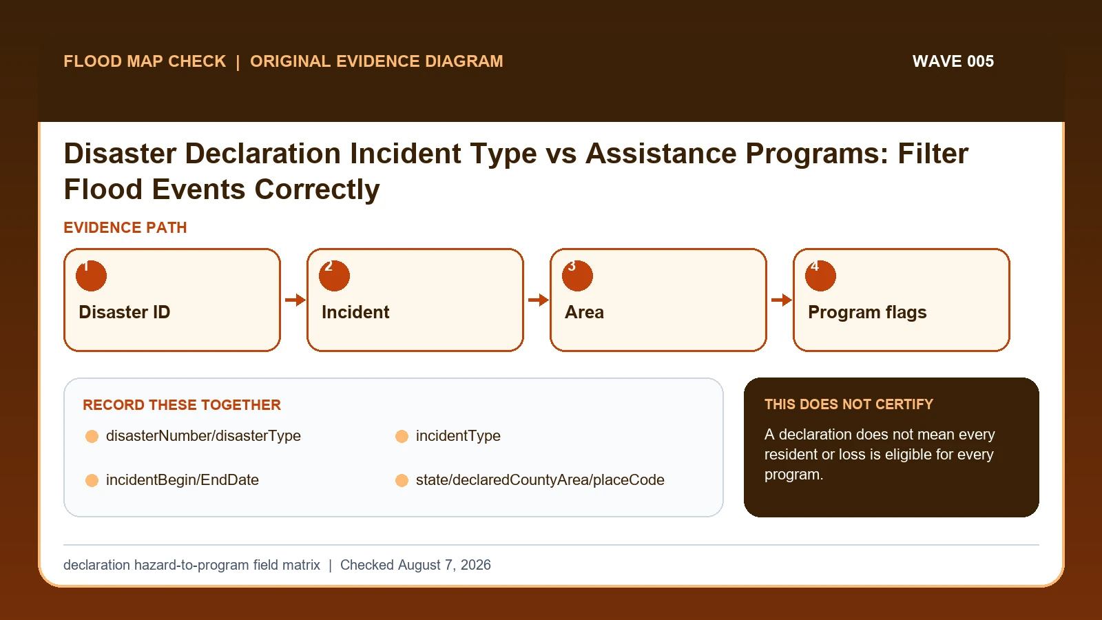
In OpenFEMA disaster data, incident type describes the hazard recorded for a declaration, while program flags show which assistance programs were declared for a particular area and record.
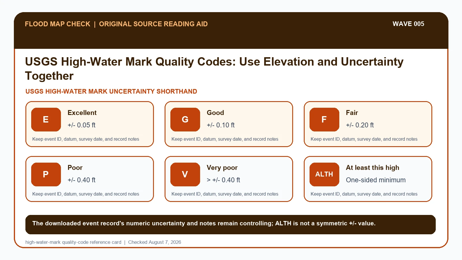
A USGS high-water mark must be read with its event, mark ID, evidence type, quality shorthand, numeric uncertainty, surveyed elevation, vertical datum, and survey date.
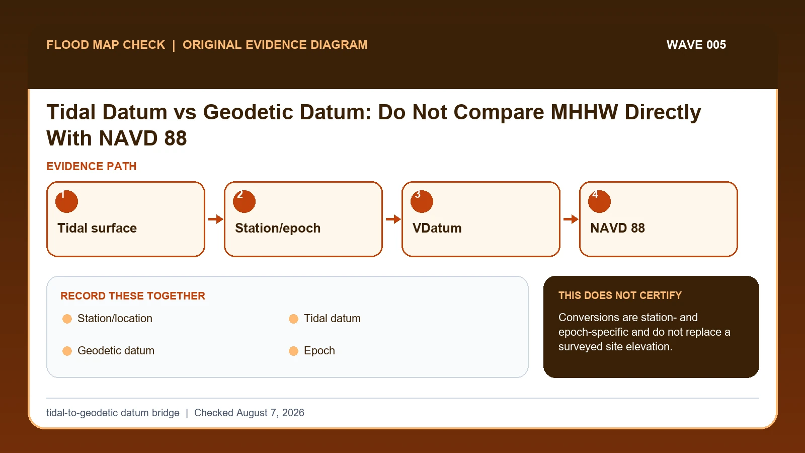
MHHW, MSL, and other tidal datums are local reference surfaces derived from water-level observations at a tide station, while NAVD 88 is a geodetic vertical datum used for land elevations.
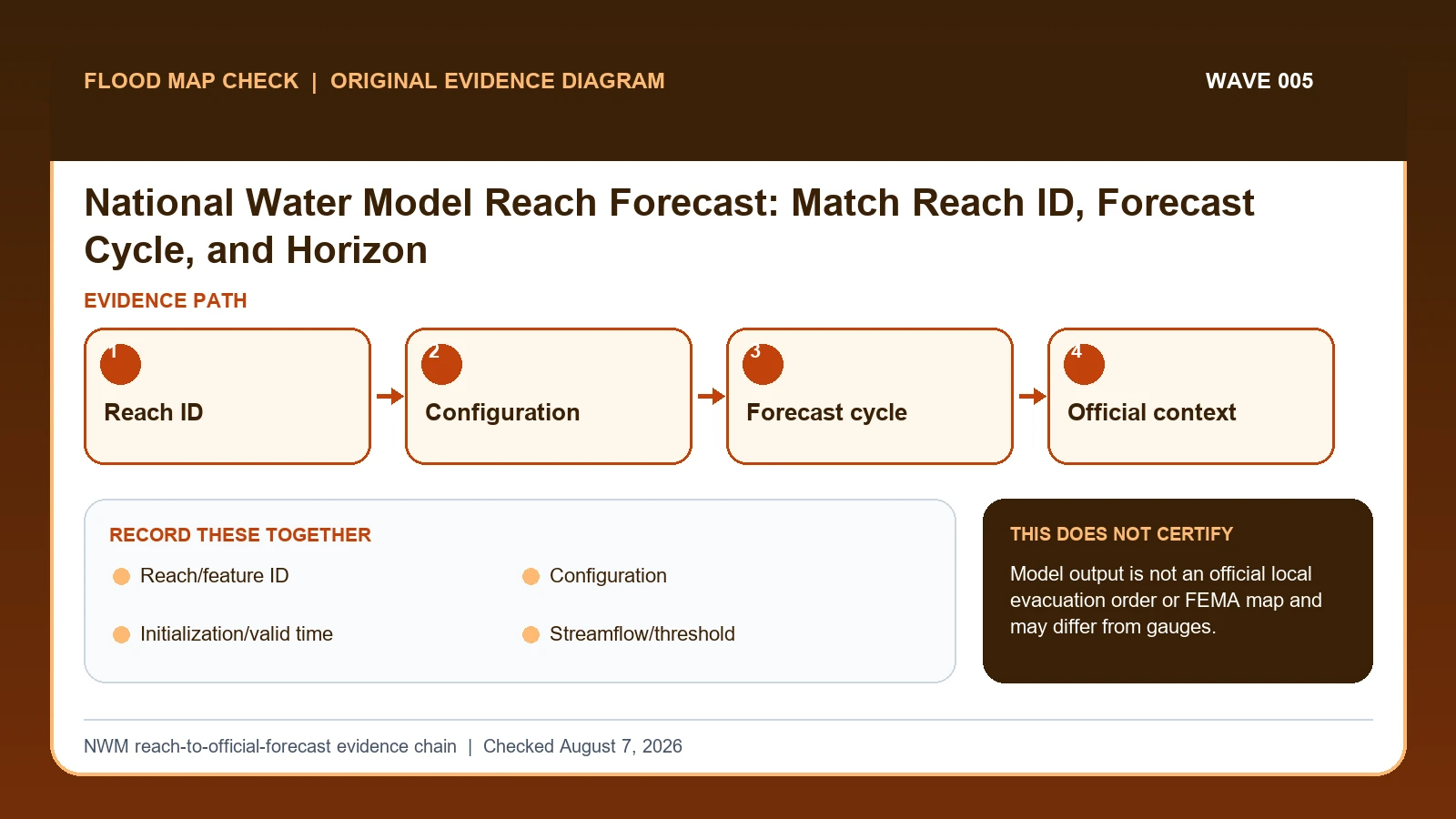
The National Water Model provides streamflow guidance for millions of river reaches, including places without a traditional forecast gauge.
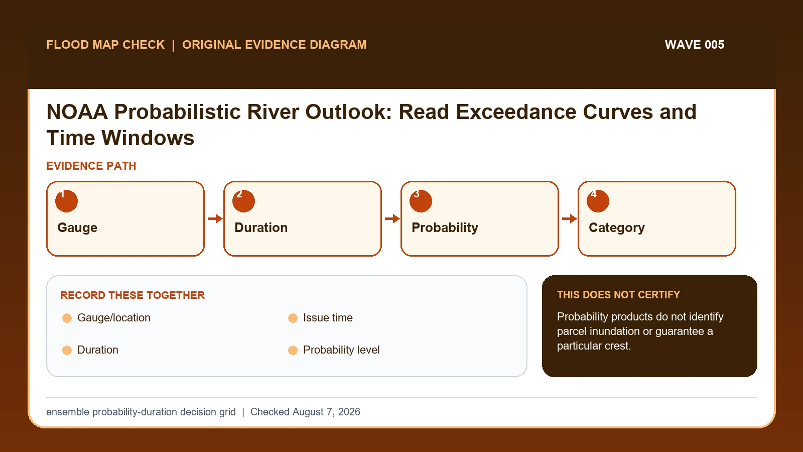
A NOAA probabilistic river outlook reports the chance that a named forecast point will exceed a selected flood category during a stated duration.
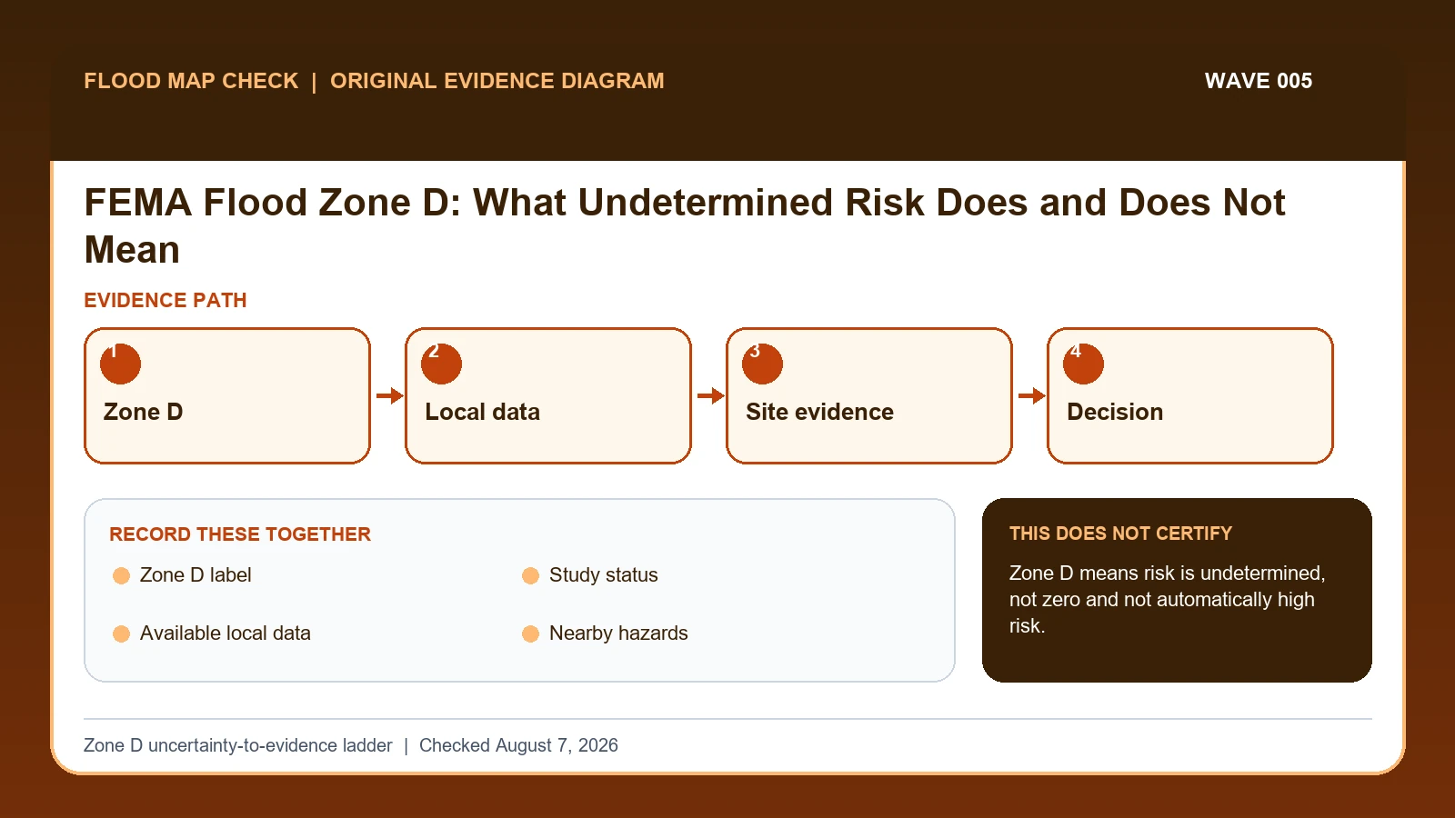
Treat FEMA Zone D as undetermined flood risk, then gather the effective map, local studies, terrain, drainage, flood history, and permit requirements.