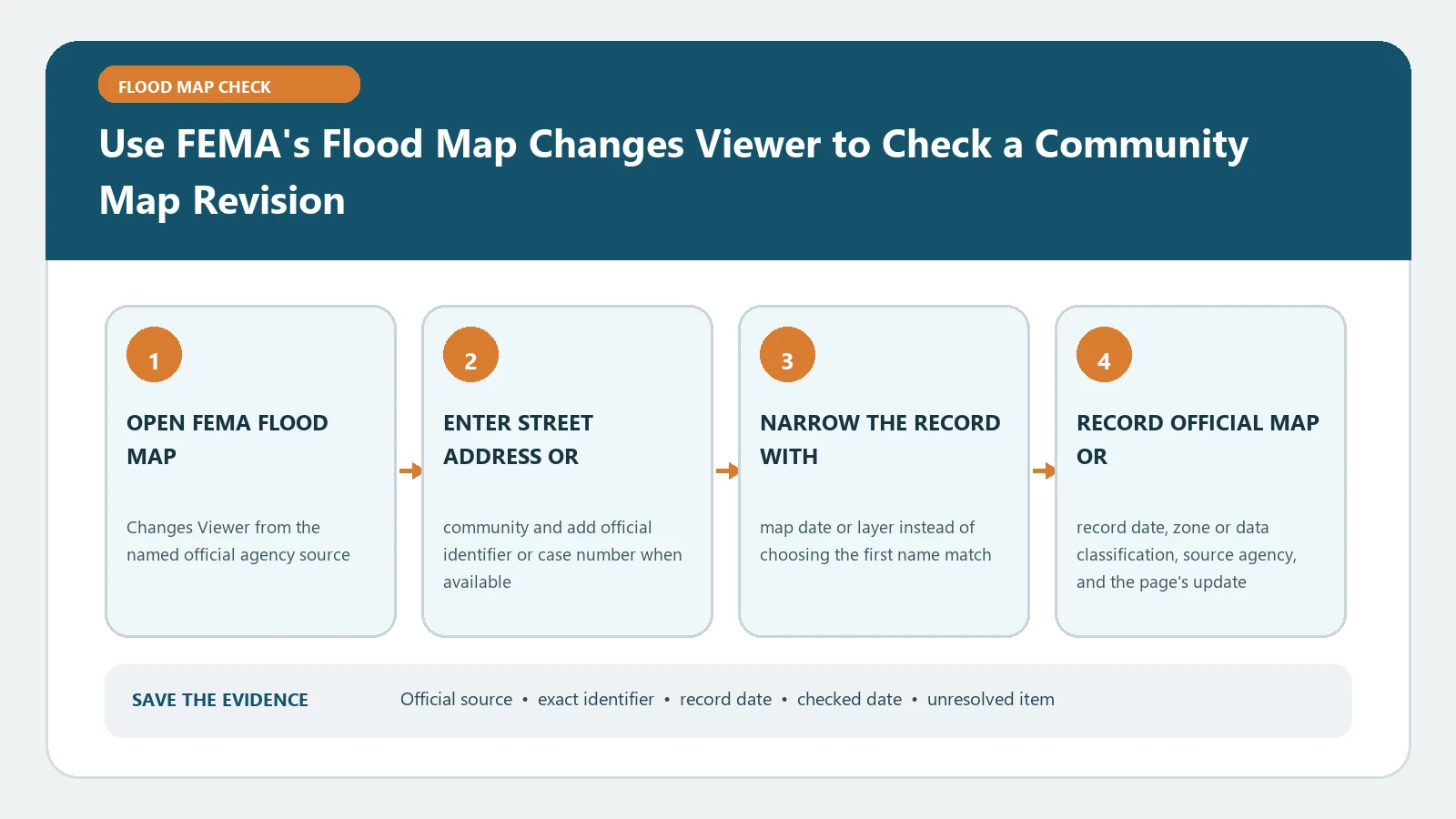
FEMA’s Flood Map Changes Viewer compares effective flood hazard data with preliminary or pending changes for a selected location. Open FMCV, search the address or coordinates, turn on the available Effective, Preliminary, Pending, and Changes Since Last FIRM layers, and save the comparison report. Use the effective map for today’s NFIP map status; preliminary and pending layers show proposed or upcoming conditions and are not used for policy rating or mandatory-purchase decisions.
Checked August 26, 2026. FEMA’s FMCV instructions describe the viewer as a single access point for effective, preliminary, pending, and change layers. Availability varies by location, so the absence of a layer is a coverage result—not proof that the community has no mapping project.
Know which layer answers which time question
| Viewer layer or product | Question it answers | Limit to keep beside the result |
|---|---|---|
| Effective NFHL / effective FIRM | What FEMA mapping is currently effective here? | Confirm panel and effective date; a map pin is not a surveyed parcel line |
| Preliminary NFHL | What change has FEMA proposed for review? | It can change before becoming effective |
| Pending NFHL | What adopted update is waiting for its effective date? | Record the future effective date rather than treating it as current |
| Preliminary Changes Since Last FIRM | Where do proposed boundaries or floodways differ from the effective data? | The change polygon does not decide a specific building’s insurance or permit outcome |
| Map Comparison report | How do the effective and preliminary views compare at the selected location? | Keep the searched point, report date, and both legends |
The word “revision” can refer to a broad community study, a future effective map, or a property-specific Letter of Map Change. FMCV is designed to visualize community map updates. Search FEMA’s other products when the task is to retrieve a LOMA, LOMR, historic panel, or final determination.
Run one location through the viewer in a fixed sequence
- Enter the full address, ZIP code, latitude and longitude, or city and state supported by the search bar; inspect where the pin lands.
- Zoom until the building area and panel context are visible. If the pin lands on a road or neighboring parcel, reposition using reliable coordinates and record that change.
- Open the layer list and note which Effective, Preliminary, Pending, and Changes Since Last FIRM layers are actually available.
- Turn on the effective layer first. Record the community, FIRM panel, suffix, flood zone or floodway label, and effective date shown by the source.
- Add one future-status layer at a time. Compare the same location and scale so a visibility or transparency change is not mistaken for a map change.
- Use the Preliminary Map Comparison function when available and download or print the report with its selected point and creation date.
- Open FEMA Map Service Center separately to retrieve the controlling panel, FIS report, preliminary products, or historic material needed for the decision.
Classify the comparison before explaining it
| Observed comparison | Defensible reading | Action to take |
|---|---|---|
| No visible change at the selected scale | The displayed layers look alike at that point and scale | Check the report, panel, floodway, BFE, and FIS details before writing “no change” |
| Preliminary hazard area expands | The proposal shows a broader or different mapped hazard | Record the proposed zone and contact the community about review, comment, appeal, and expected effective timing |
| Preliminary hazard area contracts | The proposal shows a narrower or different mapped hazard | Do not apply the future boundary early; retain the effective result until FEMA’s effective date |
| Pending data appears | A future-effective dataset is available | Capture the effective date and prepare for the transition without relabeling today’s map |
| Only an effective or legacy panel is available | The comparison dataset is not available in FMCV for this location | Use MSC products and ask the community whether a project is active |
A colored difference does not say why the boundary moved. Study methods, terrain, hydrology, coastal data, structures, and community information can all contribute. Follow the community project’s preliminary FIRM, FIS report, meeting material, and appeal or comment instructions instead of inventing a cause from the graphic.
Build a comparison packet, not a lone screenshot
- Exact address or coordinates and a note explaining any manually moved pin
- Community name and Community Identification Number when displayed
- Effective panel number, suffix, date, zone, floodway status, and BFE source where applicable
- Preliminary or pending project and product date, plus the future effective date when published
- A PDF or image showing the same point, scale, active layers, legend, and checked date
- The official product URL and the unresolved question for the community floodplain administrator
Use the site’s preliminary-versus-effective map guide when the two timelines are being mixed. That distinction should appear in the filename and notes: `effective`, `preliminary`, or `pending`, followed by the panel or project date.
The effective map remains the current reference until the transition
FEMA’s instructions state that preliminary and pending NFHL data are for awareness, review, and guidance and cannot be used for flood-insurance policy rating or mandatory flood-insurance purchase requirements. A proposed change can still matter for due diligence and community participation, but it should be reported as future or proposed. For the current address workflow, use the FEMA map-by-address check and preserve the effective panel date.
Recover when FMCV is blank, misplaced, or contradictory
| Failure | Likely check | Recovery route |
|---|---|---|
| Address not found | Geocoder format or new address | Try ZIP, city/state, coordinates, or manual map navigation; record the attempted query |
| Pin on the wrong structure | Street-centre or parcel mismatch | Use reliable coordinates and compare assessor or local GIS context without treating it as the FEMA boundary |
| No preliminary/pending layer | No available dataset at the location or layer scale | Search MSC products and ask the community whether a mapping project is underway |
| Modernized effective data missing | Legacy map coverage | Open the static effective FIRM panel linked through FEMA products |
| Viewer and downloaded document differ | Different dates, products, or cached view | Use the dated controlling document and ask FMIX or the community to identify the current product |
For a failed geocoder, keep the failed input and work through the site’s address-not-found recovery guide. A repeatable failure report is more useful to FEMA or the community than a cropped image with no address, layer, or timestamp.
Route the result according to the decision
- Home purchase or loan: give the effective result and any proposed change to the lender or flood-determination provider as separate records.
- Insurance: ask the licensed agent which effective map and policy inputs were used; do not calculate a premium from the viewer.
- Community review: follow the published comment or appeal procedure and deadline for the preliminary project.
- Permit or development: ask the local floodplain administrator which effective map, ordinance, freeboard, and future-map policy applies.
- Property-specific map amendment: use the appropriate FEMA LOMC process; FMCV itself does not issue a letter.
FMCV questions that change the conclusion
Does a preliminary change affect my policy today?
The viewer’s preliminary layer does not replace the effective map for current NFIP rating or mandatory purchase. Ask the agent or lender how it is handling the future effective date and keep that answer separate from today’s map.
Why does the report show a legacy FIRM panel?
FEMA’s instructions say the comparison report may link a static legacy FIRM when modernized effective hazard data is unavailable. Save that panel number and date and compare it with the preliminary product.
Can FMCV confirm that my building is outside the revised area?
It can show mapped layers at the selected point, but the geocoded point and screen scale are not a surveyed building or parcel determination. Use the controlling documents and the responsible decision process when the boundary is close or the result affects a legal or financial action.