NAVD 88 vs NGVD 29 on a Flood Map or Elevation Certificate
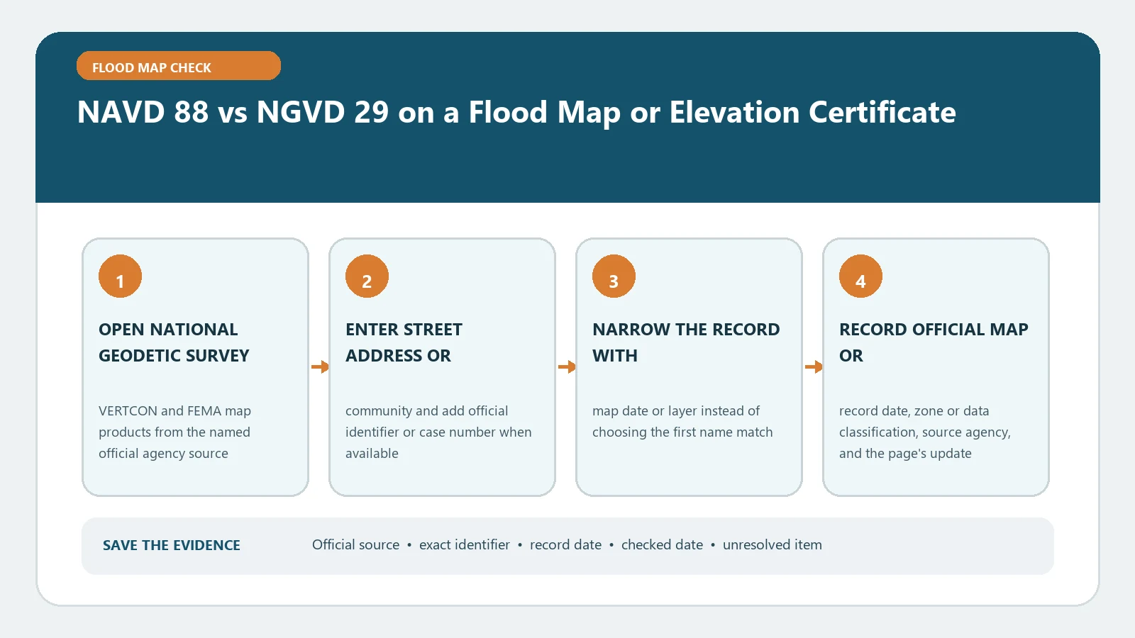
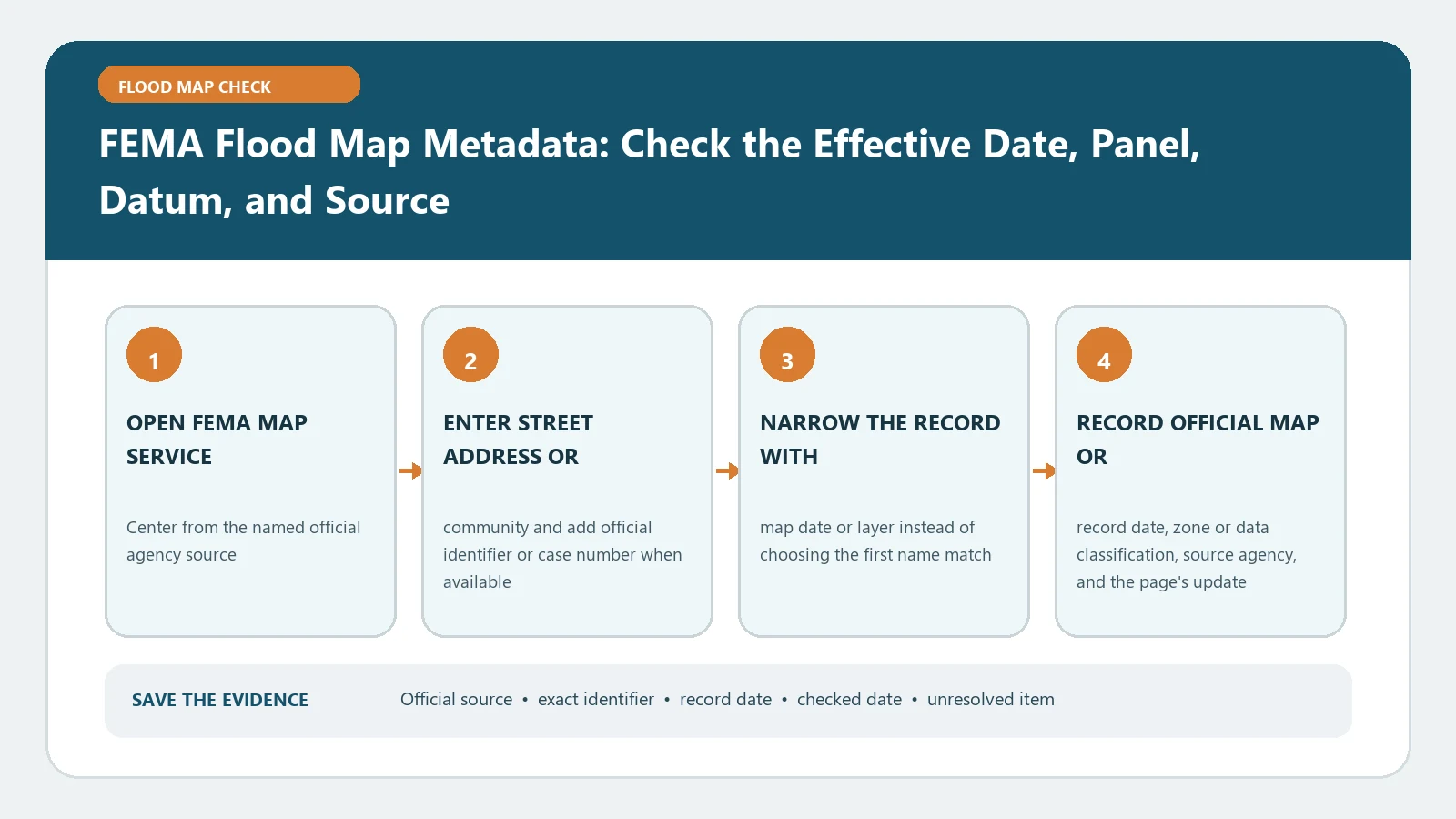
Check whether every elevation uses NAVD 88 or NGVD 29 before comparing an Elevation Certificate with FEMA mapping. Any conversion must use the location-specific official datum tool.
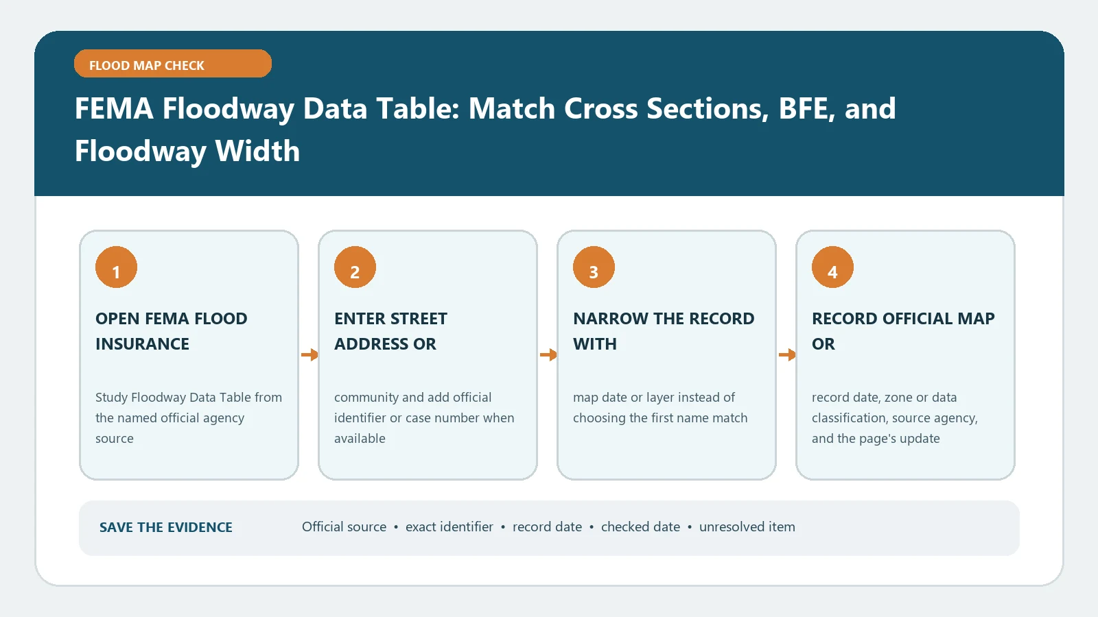
Match each floodway table row to its stream and cross section before reading BFE, width, discharge, or surcharge. Do not transfer values from a neighboring station to the parcel.
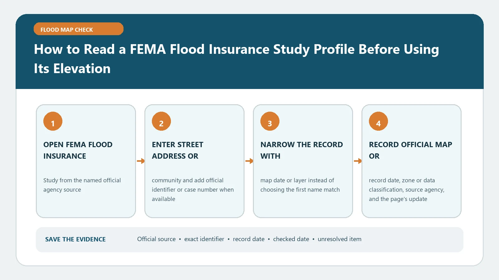
Read a FIS flood profile only after matching the stream, cross-section stations, vertical datum, and map edition. The graphed elevation is not automatically a building’s finished-floor height.
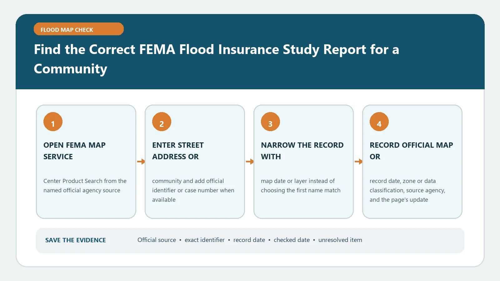
Find a community’s FIS through FEMA Product Search, then match its community number and effective date to the applicable FIRM. Do not borrow an elevation table from a different report.
When saving FEMA map evidence, capture the community and panel number, suffix, effective date, vertical datum, and source product. A colored screen without those metadata fields is incomplete.
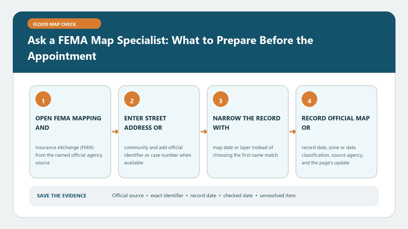
Bring the full address, FIRM panel, effective date, map screenshot, and specific question to an FMIX appointment. A specialist can explain sources but does not issue an insurance quote or permit.
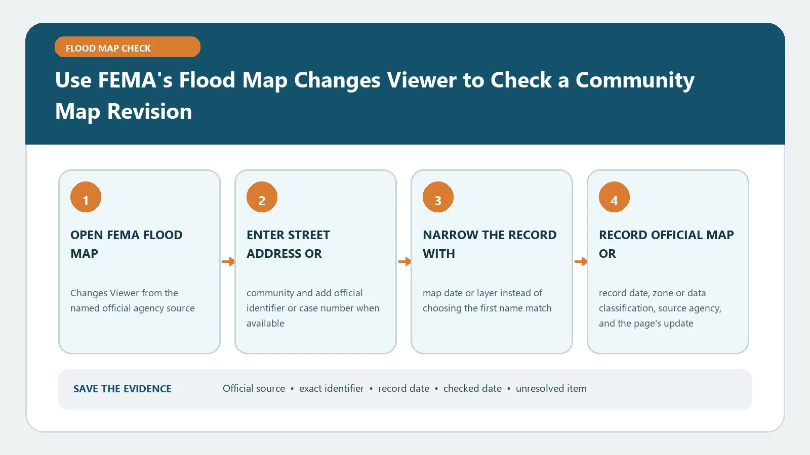
In FEMA’s Flood Map Changes Viewer, select the correct community identifier and open the dated revision documents behind each result. Community activity is not a parcel-level flood-zone determination.
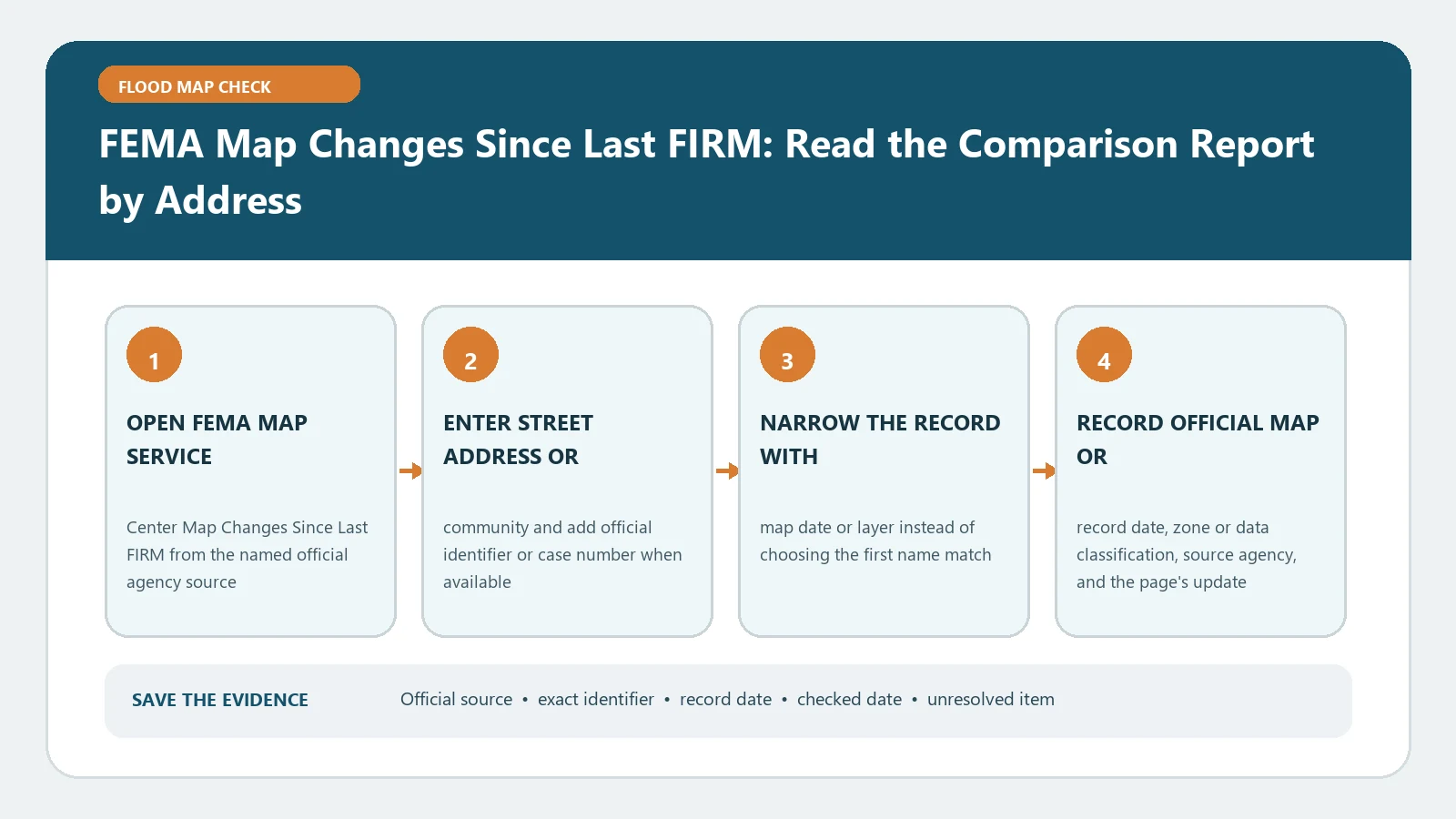
The Map Changes Since Last FIRM report compares an address against a newer effective FIRM. Verify the matched location and both map dates; a change shown nearby may not cover the structure.
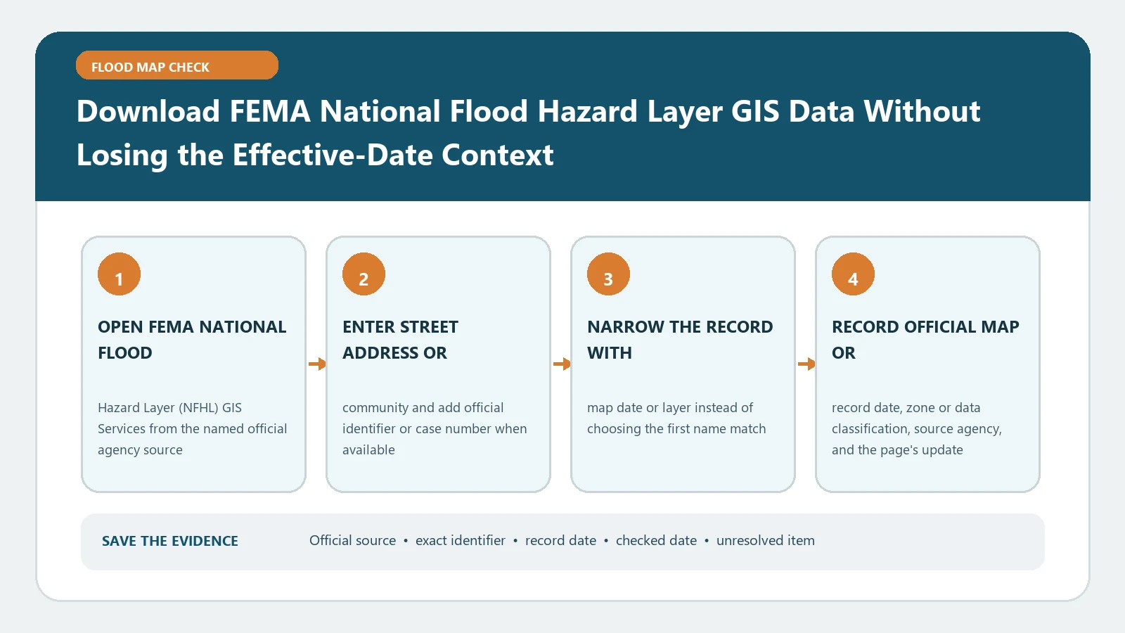
Before exporting NFHL GIS layers, record the dataset service, effective FIRM context, panel identifiers, and download date. An extract cannot replace a parcel survey or local permitting review.
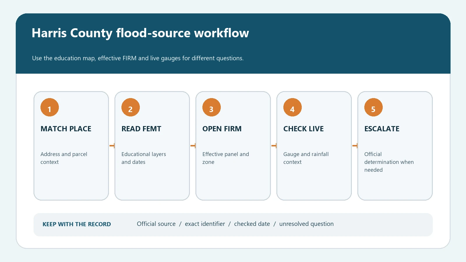
Search a Harris County address in FEMT, verify the effective FEMA FIRM, and keep live rainfall and stream gauges separate from the regulatory map.