Skip to content

Flood Map Check

  • Privacy Policy
  • About Flood Map Check
  • Contact
  • Editorial Policy

Map Explainers

Map Explainers guides.

Wetlands Mapper vs FEMA Flood Map: Two Official Layers, Two Different Questions
August 31, 2026August 5, 2026 by Flood Map Check
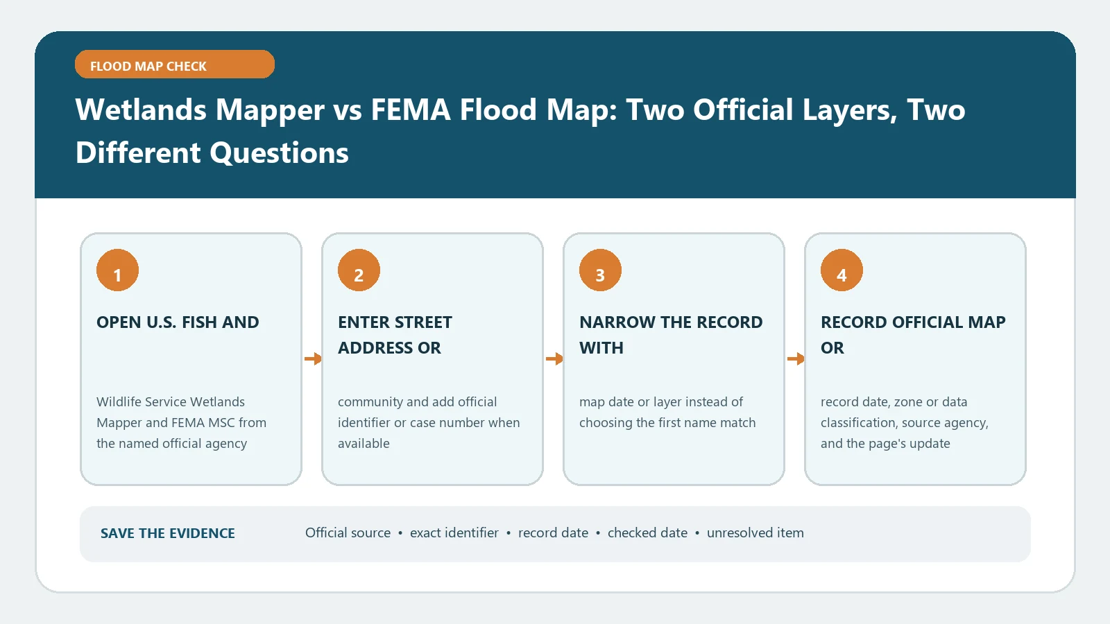
Wetlands Mapper vs FEMA Flood Map: Two Official Layers, Two Different Questions verification workflow showing official source, exact identifiers, result fields, date, and escalation step

Wetlands Mapper identifies wetland and habitat information, while FEMA mapping depicts adopted flood hazards. Compare each layer for its own purpose instead of treating their boundaries as equivalents.
Categories Map Explainers

Web Soil Survey Hydrologic Soil Group: Add Infiltration Context to a Flood Check

August 31, 2026August 5, 2026 by Flood Map Check
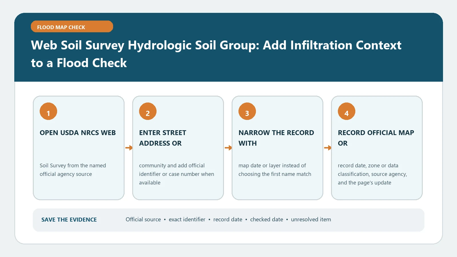
Web Soil Survey Hydrologic Soil Group: Add Infiltration Context to a Flood Check verification workflow showing official source, exact identifiers, result fields, date, and escalation step

Web Soil Survey hydrologic groups describe runoff and infiltration characteristics for mapped soil units. Use the selected area and component data as context, never as a standalone flood-zone ruling.

Categories Map Explainers

USGS StreamStats Flood-Frequency Report: Delineate a Basin and Read Peak-Flow Estimates

August 31, 2026August 5, 2026 by Flood Map Check
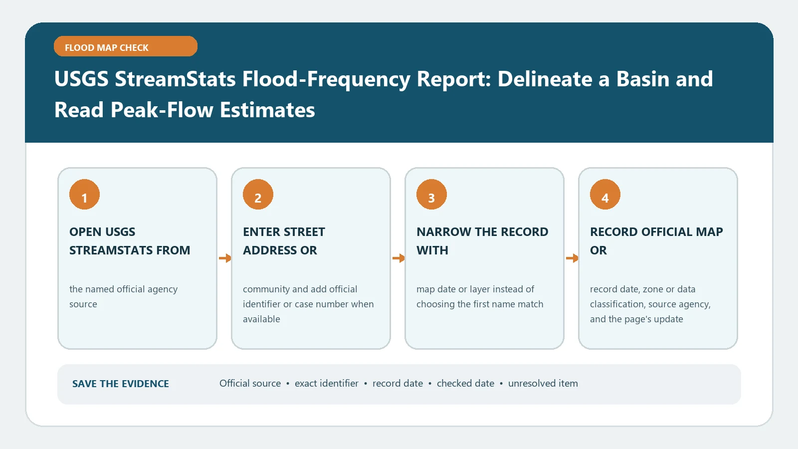
USGS StreamStats Flood-Frequency Report: Delineate a Basin and Read Peak-Flow Estimates verification workflow showing official source, exact identifiers, result fields, date, and escalation step

In StreamStats, verify the basin outlet and delineated drainage area before generating flood-frequency estimates. Modelled peak flows require method, region, and limitation context; they are not observed water levels.

Categories Map Explainers

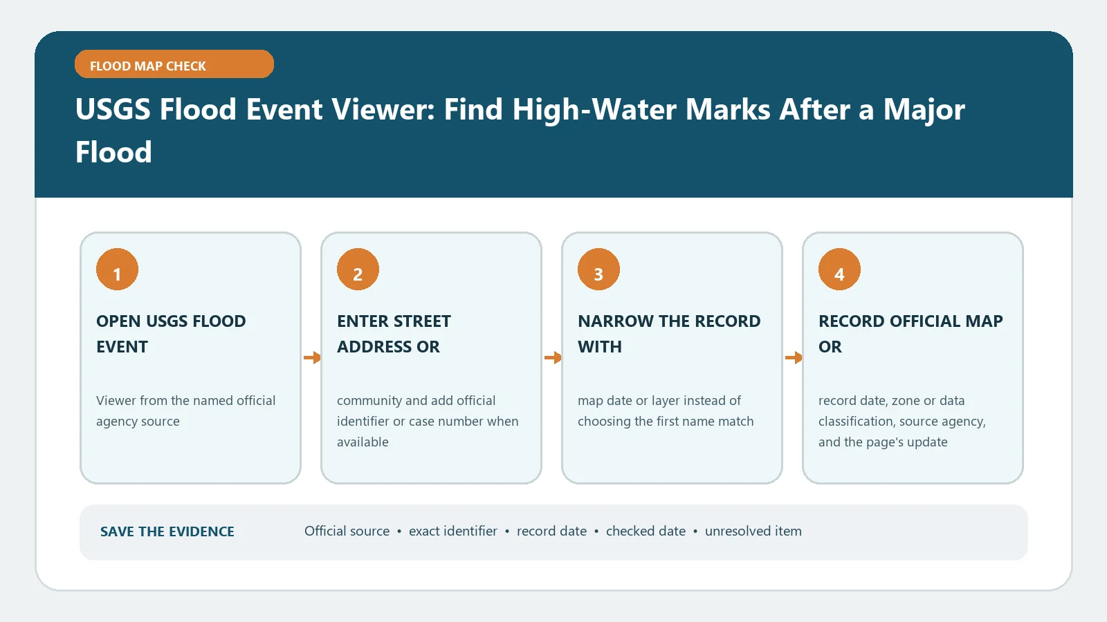
USGS Flood Event Viewer: Find High-Water Marks After a Major Flood

August 31, 2026August 5, 2026 by Flood Map Check
USGS Flood Event Viewer: Find High-Water Marks After a Major Flood verification workflow showing official source, exact identifiers, result fields, date, and escalation step

After a documented flood, use the USGS event and point identifiers to retrieve relevant high-water marks and their measurement details. Do not attribute one mark to another site.

Categories Map Explainers

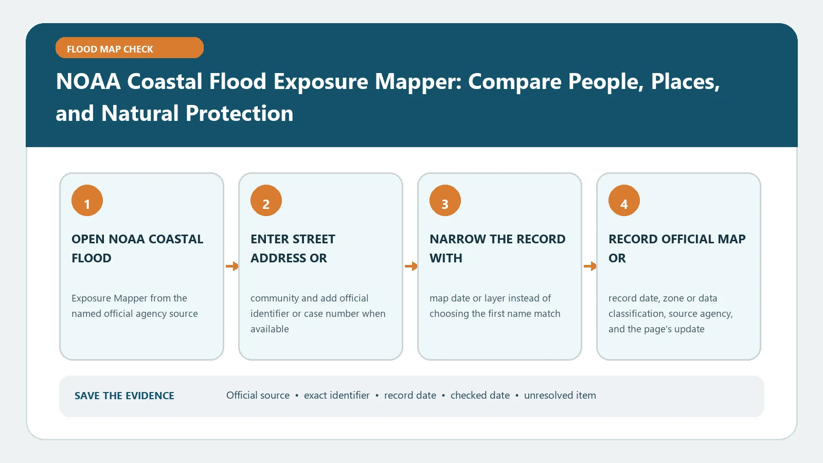
NOAA Coastal Flood Exposure Mapper: Compare People, Places, and Natural Protection

August 31, 2026August 5, 2026 by Flood Map Check
NOAA Coastal Flood Exposure Mapper: Compare People, Places, and Natural Protection verification workflow showing official source, exact identifiers, result fields, date, and escalation step

The Coastal Flood Exposure Mapper compares community assets, population, and natural protection across selected layers. Its output supports planning questions, not a parcel certificate.

Categories Map Explainers

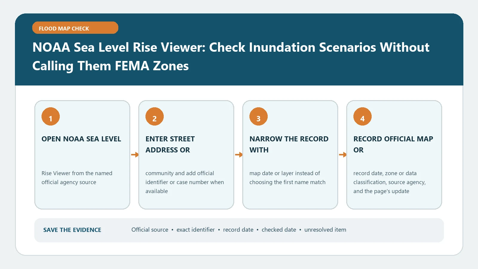
NOAA Sea Level Rise Viewer: Check Inundation Scenarios Without Calling Them FEMA Zones

August 31, 2026August 5, 2026 by Flood Map Check
NOAA Sea Level Rise Viewer: Check Inundation Scenarios Without Calling Them FEMA Zones verification workflow showing official source, exact identifiers, result fields, date, and escalation step

NOAA’s Sea Level Rise Viewer displays coastal inundation scenarios for selected water levels. Treat them as planning context rather than FEMA zones, present conditions, or forecasts.

Categories Map Explainers

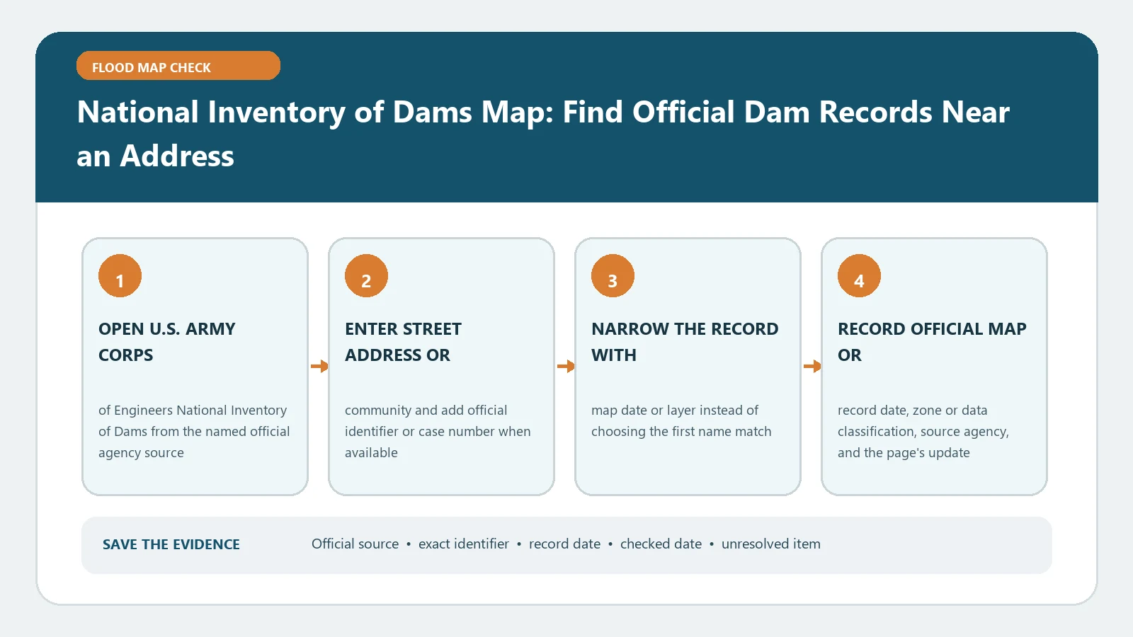
National Inventory of Dams Map: Find Official Dam Records Near an Address

August 31, 2026August 5, 2026 by Flood Map Check
National Inventory of Dams Map: Find Official Dam Records Near an Address verification workflow showing official source, exact identifiers, result fields, date, and escalation step

Use the National Inventory of Dams map to identify nearby entries and open the official record for the matching dam. Distance on the viewer does not establish an inundation path or downstream safety.

Categories Map Explainers

National Levee Database Lookup: Check Levee System, Inspection, and Risk Information

August 31, 2026August 5, 2026 by Flood Map Check
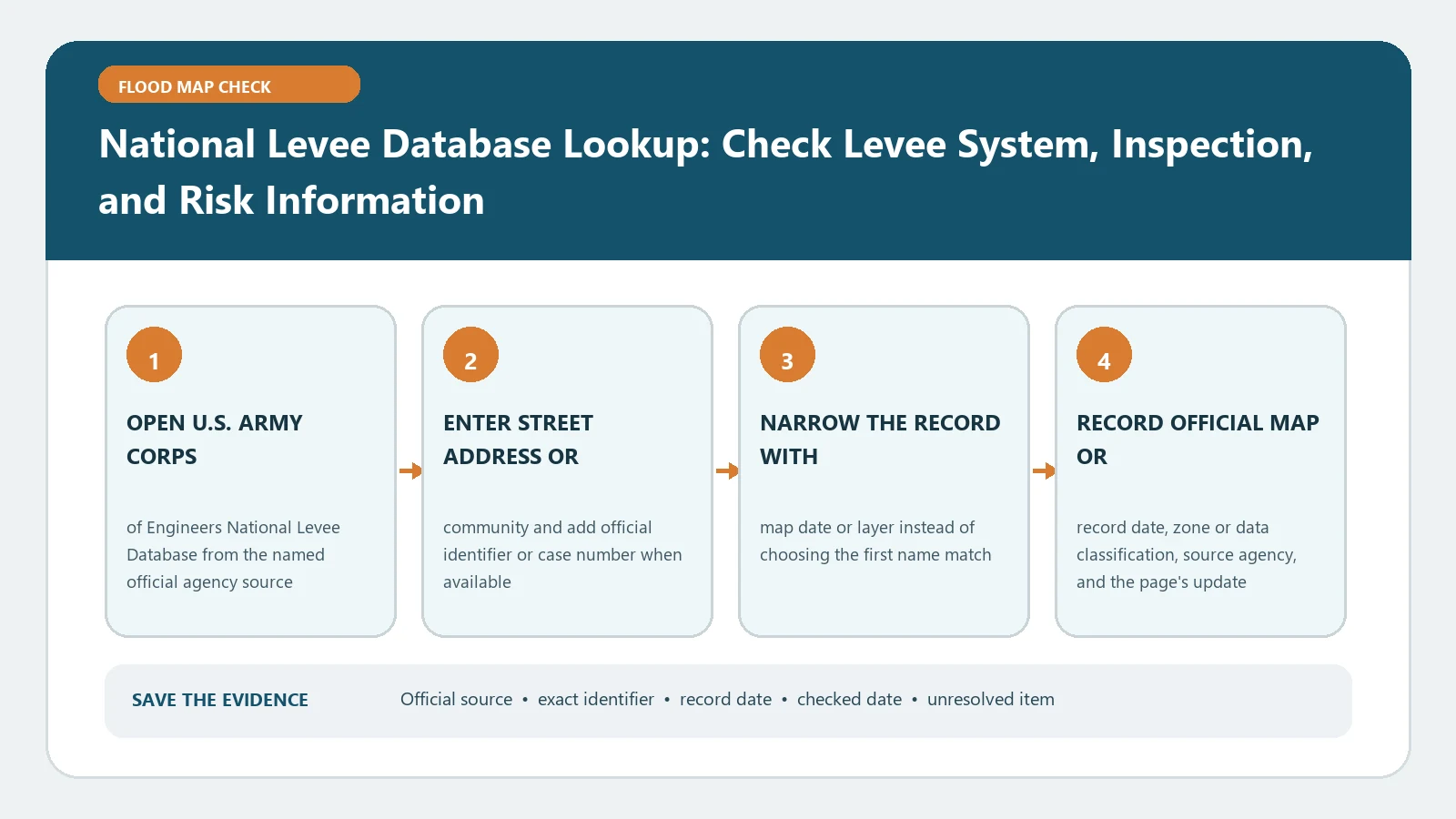
National Levee Database Lookup: Check Levee System, Inspection, and Risk Information verification workflow showing official source, exact identifiers, result fields, date, and escalation step

Find the correct levee system in the USACE database, then note its identifier, inspection information, and displayed risk details. Proximity to a levee does not promise protection for an address.

Categories Map Explainers

FEMA National Risk Index Coastal Flood Score: Separate Community Risk From FIRM Zones

August 31, 2026August 5, 2026 by Flood Map Check
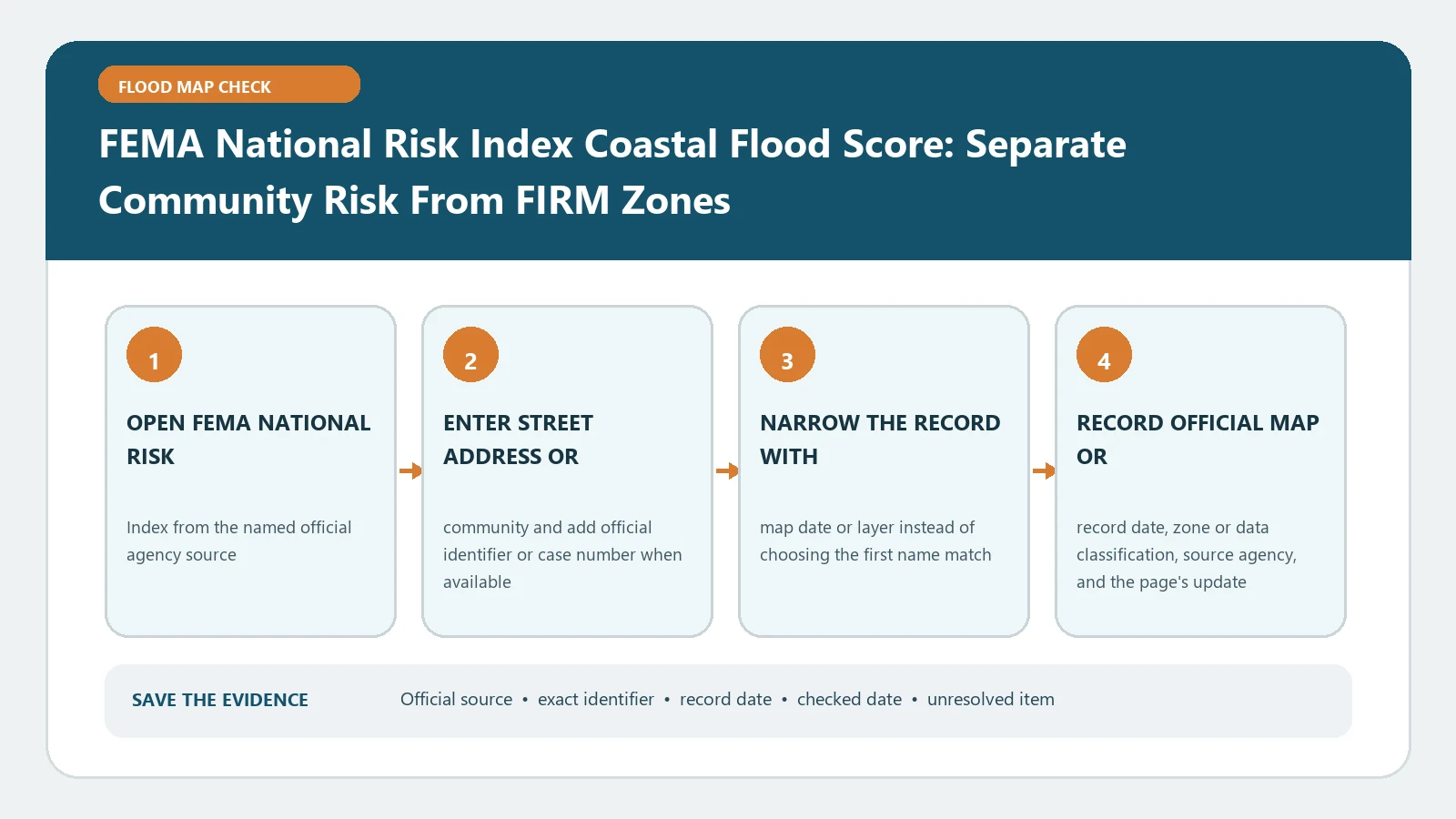
FEMA National Risk Index Coastal Flood Score: Separate Community Risk From FIRM Zones verification workflow showing official source, exact identifiers, result fields, date, and escalation step

A FEMA coastal risk score summarizes community-scale indicators, not the effective zone for one structure. Keep the rating geography, percentile, and expected-loss context attached.

Categories Map Explainers

FEMA National Risk Index Riverine Flood Score: Read Rating, Percentile, and Expected Loss

August 31, 2026August 5, 2026 by Flood Map Check
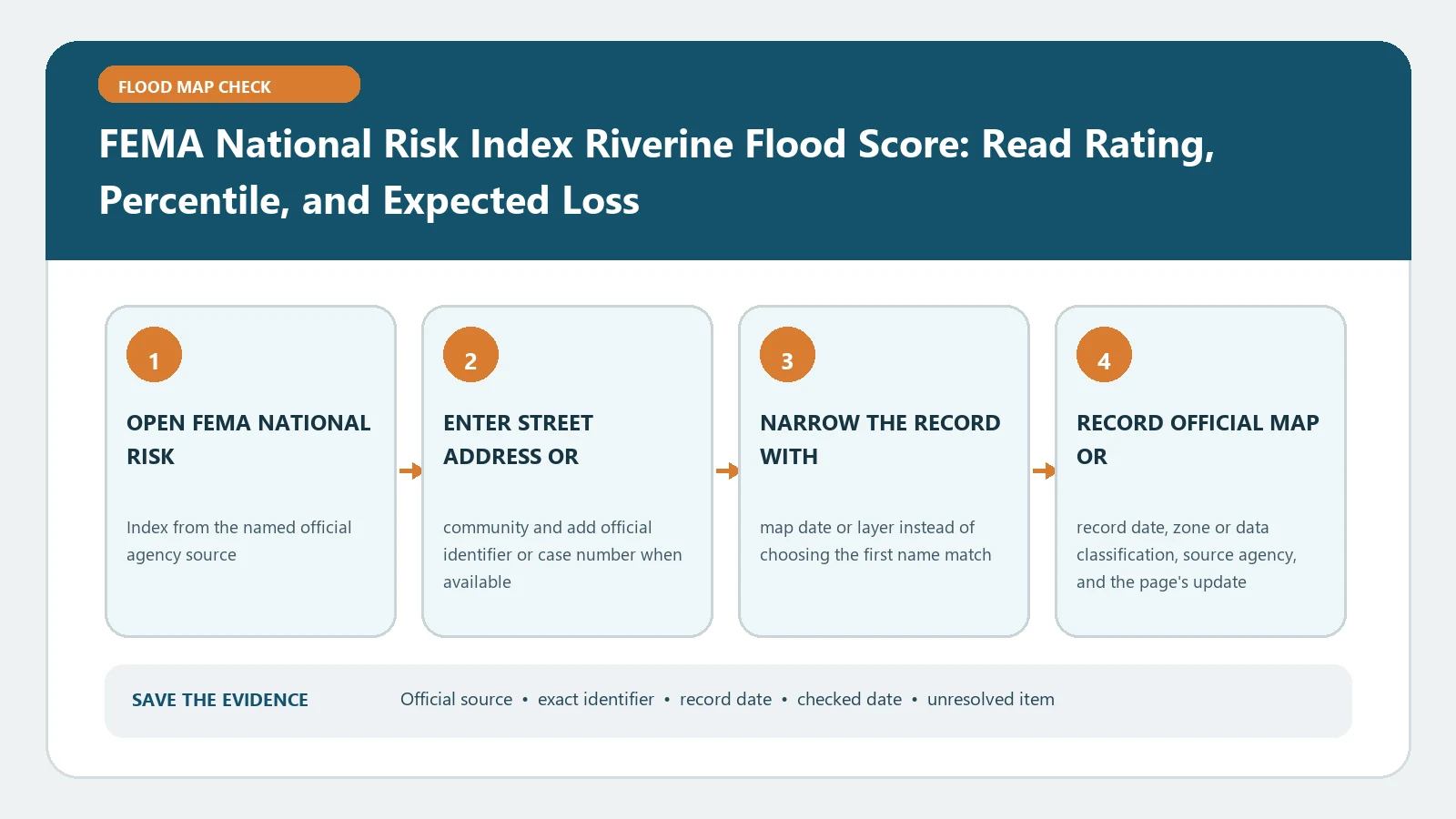
FEMA National Risk Index Riverine Flood Score: Read Rating, Percentile, and Expected Loss verification workflow showing official source, exact identifiers, result fields, date, and escalation step

Read the National Risk Index riverine rating, percentile, and expected annual loss at its county or tract scale. Those community indicators are not interchangeable with a property’s FIRM zone.

Categories Map Explainers
Older posts
Page1 Page2 … Page4 Next →

Recent Posts

  • Sarasota County Flood Zone and Elevation Certificate Search
  • Charlotte County FL Elevation Certificate Search
  • Palm Beach County Flood Zone and Elevation Certificate Search
  • Collier County Flood Map and Elevation Certificate Search
  • Disaster Declaration Incident Type vs Assistance Programs: Filter Flood Events Correctly

Recent Comments

No comments to show.
© 2026 Flood Map Check • Built with GeneratePress