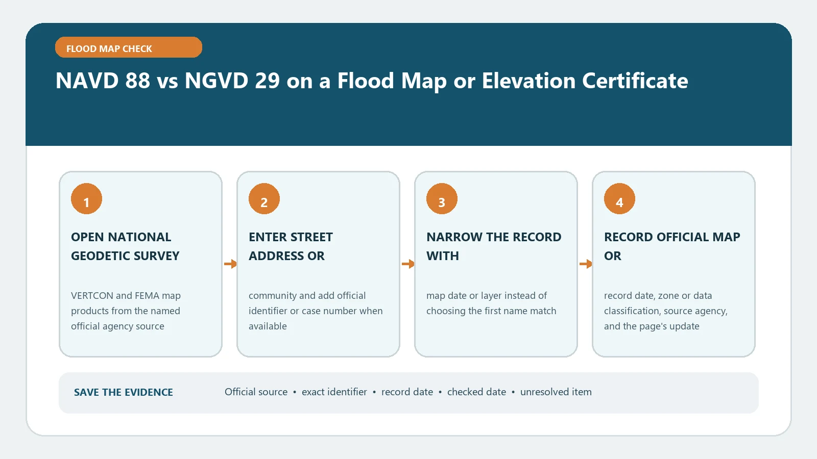
NGVD 29 means National Geodetic Vertical Datum of 1929; NAVD 88 means North American Vertical Datum of 1988. They are different height reference systems. Never compare a Base Flood Elevation in one datum with a building elevation in the other as if the numbers shared the same zero. Identify both datum labels, use the exact property coordinates in NOAA’s current NCAT tool, and document the modeled shift before making the comparison.
Checked August 26, 2026. NOAA NGS says VERTCON 3.0 supplies transformation grids but is no longer a stand-alone tool; the working interface is the NGS Coordinate Conversion and Transformation Tool (NCAT). Older instructions that send users to a legacy VERTCON calculator should be replaced with NCAT.
An NCAT result is not a substitute for verifying a source elevation, coordinate, benchmark, or building record. It supplies a modeled transformation for the entered inputs. Verify the records and use a licensed survey professional when the decision requires certified or project-specific vertical control.
A datum label belongs beside every elevation
NGS’s height-modernization history explains that NGVD 29 came from the 1929 adjustment of existing vertical benchmarks, while NAVD 88 came from a later network adjustment and became the federal civilian surveying and mapping datum. “1929” and “1988” name the datums; they are not the survey date of your house or the effective date of a FIRM.
| Record | Elevation to copy | Datum evidence to copy |
|---|---|---|
| Elevation Certificate | Lowest floor, lowest adjacent grade, highest adjacent grade, machinery, or the exact field being used | The vertical datum stated for Section C elevations plus benchmark and comments |
| FIRM panel | BFE, floodway profile reference, or zone label relevant to the location | Panel’s vertical datum note, panel number, suffix, and effective date |
| Flood Insurance Study | Profile, stillwater, transect, or BFE table value | Datum statement and any conversion notes for the study |
| LOMA or LOMR | Determination elevation or revised BFE named in the letter | Letter date, case number, and stated datum |
| Survey benchmark | Published or observed orthometric height | PID, datum, realization or epoch information, and source date |
Create a two-number worksheet before converting anything
| Worksheet field | Map or BFE side | Building or ground side |
|---|---|---|
| Source | FIRM, FIS, or FEMA letter | Elevation Certificate or signed survey |
| Exact value and units | Feet or metres as printed | Feet or metres as printed |
| Vertical datum | NAVD 88, NGVD 29, or another stated datum | NAVD 88, NGVD 29, or another stated datum |
| Location | Panel, cross section, transect, or coordinates | Building coordinates and structure description |
| Date | Effective/revision date | Certification/field date |
| Conversion evidence | None until required | NCAT input, output, model, and run date |
Do not infer the datum from the size of the number, a county convention, or the date printed at the bottom of a scanned page. If either label is missing, stop the arithmetic and ask the surveyor, community floodplain administrator, or source custodian to identify it in writing.
Find the controlling labels on the FEMA records
- Use FEMA Map Service Center to open the effective FIRM panel and the Flood Insurance Study for the community.
- Copy the panel number, suffix, effective date, flood zone, and the panel’s vertical datum note.
- If the BFE comes from a profile, table, coastal transect, or determination letter, record that exact source rather than copying a nearby map label.
- On the Elevation Certificate, copy the datum printed for the certified elevations and review comments for a conversion or benchmark explanation.
- Use the site’s FIRM and FIS BFE workflow if the map does not print a site-specific number.
A newer FIRM may use NAVD 88 while an older Elevation Certificate uses NGVD 29. That does not make the certificate automatically invalid. It means the two elevation sets need a documented transformation or an updated professional review before their vertical difference is interpreted.
Use NCAT for the location-specific modeled shift
- Obtain latitude and longitude for the actual structure or survey point. Record the coordinate source and precision.
- In NCAT, choose a conversion that includes orthometric height and select the appropriate horizontal reference frame for the coordinates.
- Select NGVD 29 and NAVD 88 in the correct from/to direction, following the current FEMA vertical-datum guidance for the project.
- Enter one point first. Save the input coordinates, units, source and target datums, returned shift or converted height, model information, and run date.
- Repeat nearby points when the tool or project guidance calls for a reasonableness check; large local variation needs professional review rather than averaging.
- Convert units only after the datum transformation is clear, and keep enough decimal places for the governing form or engineering standard.
FEMA’s Vertical Datum Conversion guidance identifies NCAT as the current conversion tool for NGVD 29 and NAVD 88 mapping work. The tool returns a modeled transformation, not a new field survey. For work that depends on survey-grade accuracy, damaged benchmarks, subsidence, or local distortion, have a licensed professional connect the project to suitable control.
Keep direction and sign attached to the tool output
| Task | Safe notation | Frequent error |
|---|---|---|
| NGVD 29 to NAVD 88 | Record the NCAT from/to selections and resulting NAVD 88 value | Adding a remembered regional factor without checking its sign |
| NAVD 88 to NGVD 29 | Run or document the reverse transformation explicitly | Reusing the forward result as though direction did not matter |
| Compare building to BFE | Put both values in the same datum and units, then subtract | Converting one value twice or mixing feet and metres |
| Multiple structures or points | Use the coordinates for each point when material | Applying one county-wide shift to every location |
Do not publish a universal “NAVD 88 is X feet above NGVD 29” rule. The modeled difference varies by location and can be positive or negative. A conversion note should show the original value and datum, destination datum, coordinates, tool, shift or output, direction, units, checked date, and person responsible for the calculation.
Interpret the final comparison without hiding its uncertainty
| Result | What it supports | What remains open |
|---|---|---|
| Both records already share a datum and units | A direct numerical comparison may be made if the location and fields also match | Survey accuracy, building changes, map age, and which EC field controls |
| NCAT conversion completed | A documented modeled conversion for the entered point | Whether the project requires higher-order control or a professional certification |
| Datum missing on one record | No defensible cross-datum comparison yet | Source custodian or surveyor must identify the reference |
| Tool has no supported transformation or result looks erratic | The automated route did not close the question | Ask NGS, FEMA mapping support, the community, or a licensed survey professional |
Once both values share a datum, the site’s Elevation Certificate-to-BFE comparison can organize the next calculation. Keep lowest floor, lowest adjacent grade, and other EC fields separate; they answer different floodplain and insurance questions.
Resolve common datum failures at their source
- Missing datum on a certificate: ask the certifier for a signed clarification or correction; do not type a datum into the signed form yourself.
- Map and FIS appear inconsistent: verify panel, suffix, effective date, study volume, revision history, and any datum-conversion notice.
- Coordinate falls outside NCAT coverage: confirm the location and applicable datum; a different NOAA tool or local control may be required.
- Converted value changes materially across nearby points: retain every test and refer the issue to a geodetic or surveying professional.
- Benchmark description is stale or disturbed: use current NGS or local control records and the certifier’s judgment rather than a physical mark alone.
For a benchmark-level audit, follow the site’s benchmark and datum trace guide. The objective is an evidence chain from each printed elevation to its reference—not a number that merely looks close after conversion.
Datum questions that prevent bad arithmetic
Is NAVD 88 always higher than NGVD 29?
No. The modeled difference depends on location and direction. Use NCAT for the point and keep the signed result.
Can I compare an NGVD 29 BFE with a NAVD 88 lowest floor?
Not directly. Transform one value so both share the same vertical datum and units, then document which value was converted and how.
Does NGVD stand for National Geodetic Vertical Datum?
Yes. NGVD 29 is the National Geodetic Vertical Datum of 1929. NAVD 88 is the North American Vertical Datum of 1988. The acronyms are not interchangeable.