A New Orleans address check needs three records kept apart: the effective FEMA FIRM, the City’s base-flood-elevation context, and the local elevation requirement applied to a permit. A FEMA zone alone does not state the required finished-floor elevation. A city BFE display alone does not prove the current building elevation.
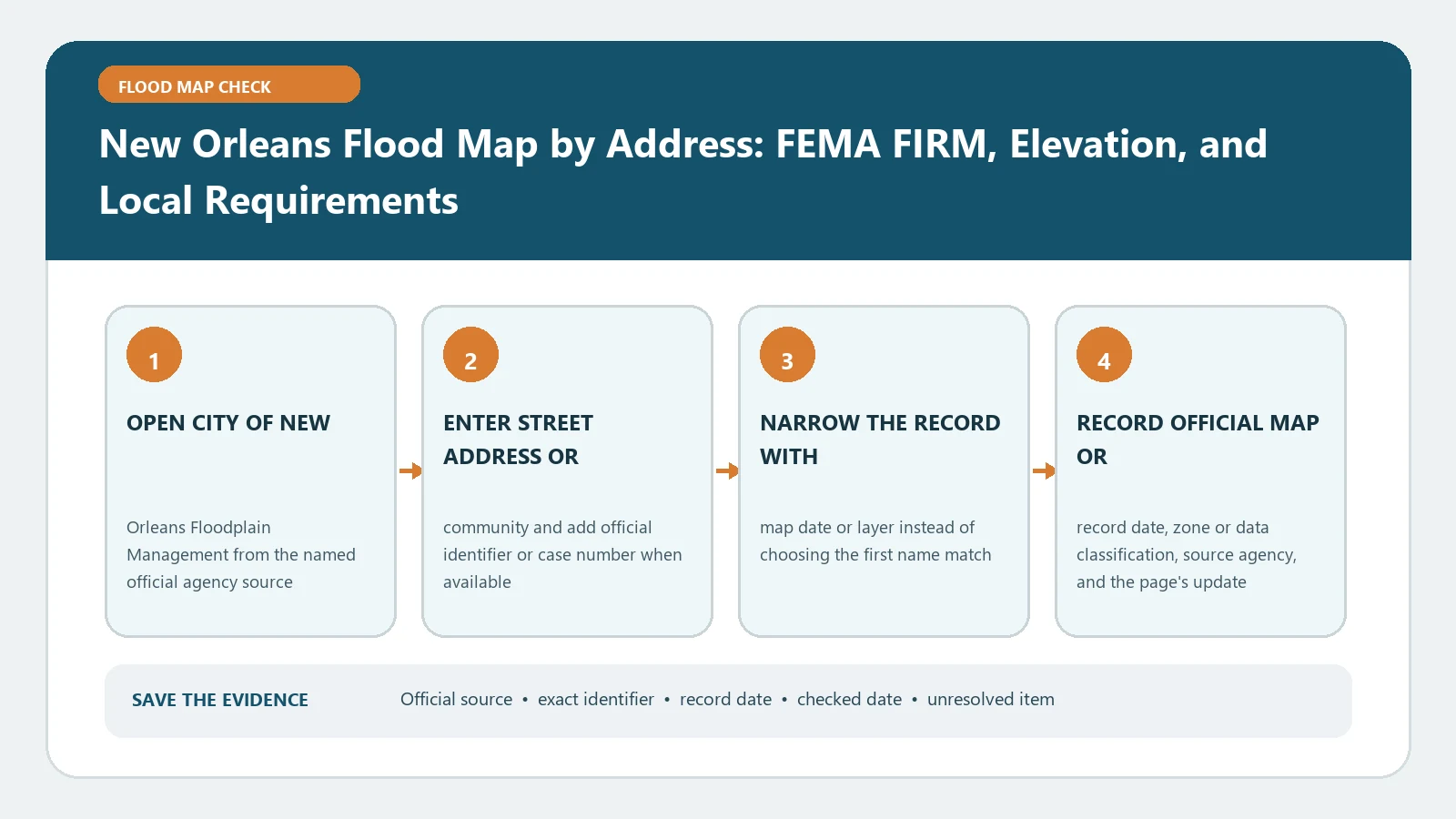
Start with the City of New Orleans Base Flood Elevations map and Floodplain Management page, then retrieve the federal panel from the FEMA Map Service Center. Checked August 26, 2026. Save the checked date because map status, city interfaces, and permit rules can change.
Match the address to the correct site
Normalize the street number, directional, street name, and unit. Verify the selected point with the parcel or site-address geometry and building footprint. A corner lot, double, condominium, or multi-building site can place the search pin away from the structure being reviewed.
Record the exact address entered, coordinates, selected parcel or site point, and any manual correction. If several structures share one parcel, name the building and the project area. A citywide map click is a location aid until those identities agree.
Read the City BFE map as a layer set
The BFE map instructs users to click a point for item information and to use the legend or layer control to show and hide layers. Keep the active layer name, clicked location, returned value, unit, datum if displayed, and retrieval date. Downloaded layer data should retain its dataset name and date.
Do not assume a displayed number is the building’s floor elevation. It may be map-based flood elevation or another layer attribute. Do not move a value from a nearby polygon or contour across the property without official or professional confirmation. How to Find a Base Flood Elevation provides the federal profile and table checks when the panel alone is insufficient.
Lock the effective FIRM metadata
Search the same address or coordinates in FEMA’s Map Service Center. Save the full panel number, suffix, effective date, zone, floodway status, BFE or depth, and any map changes attached to the location. Retrieve a panel or FIRMette with the title block and legend.
If the City map and FEMA product differ, compare point location, layer owner, effective status, vertical datum, and incorporated revisions. Do not merge the City’s current interface label with an older FEMA panel. FEMA Flood Map by Address gives the core metadata checklist.
Apply the local construction rule only to a real project
New Orleans Floodplain Management says development includes changes to the ground, grading, filling, new construction, and repairs, and that substantially damaged or substantially improved buildings must meet new flood-protection requirements. The official NOLA Ready rain guidance describes the City’s general minimum-elevation approach for new construction or substantial renovation, including comparison with BFE and curb elevation.
Use that page for orientation, then ask Safety and Permits for the rule applied to the exact project, building type, flood zone, and filing date. Record the adopted code or ordinance citation, required freeboard or curb reference, regulated building element, and any coastal-zone condition. A general web summary is not a permit approval.
Join the map to the Elevation Certificate
The City states that Elevation Certificates submitted to Safety and Permits are kept on file and can be requested for a property. Verify that a retrieved certificate matches the address, structure, and construction stage. Copy its panel, BFE, diagram, datum, surveyed fields, certifier, and date.
Compare the certificate with the effective map only after checking panel edition and datum. A certificate for construction drawings or a building under construction may require a finished-construction replacement. Use Where to Send an Elevation Certificate to route the document to the local permit file, insurer, lender, or FEMA application that requested it.
Give insurance a separate answer
The mapped zone and local elevation requirement do not quote a premium. Provide the verified property identity, effective FIRM details, and relevant building document to a licensed insurance agent or insurer. Ask which facts were used and retain the written quote or policy result.
Do not infer that a low-risk label means flood insurance is unnecessary. New Orleans identifies multiple flood sources, and standard homeowners coverage generally excludes flooding. The insurance decision remains distinct from the City’s building-compliance calculation.
Trace a permit elevation from intake to closeout
For construction or substantial renovation, record the elevation shown at application, the local review comment, approved plan value, any under-construction certificate, field inspection result, and finished-construction certificate. Tie every record to the permit number and building. If the approved elevation changes, retain the revision and the office response rather than replacing the earlier sheet.
Ask when Safety and Permits requires each verification and which building element is being checked. The lowest floor, coastal structural member, floodproofing level, equipment platform, and curb reference can answer different rules. A certificate accepted at one stage does not prove that final grading, equipment, or later alterations meet the closeout requirement.
Resolve a New Orleans conflict in sequence
First confirm the exact building and point. Next compare FEMA panel number, effective date, and map changes. Then identify the City layer and datum. After that, verify the certificate’s map reference and construction stage. Finally, obtain the local permit rule and approved design elevation.
If the address is absent, retry without unit data and verify the site address. If the BFE field is blank, use the FIS and ask Floodplain Administration rather than borrowing a nearby number. If the certificate is unavailable online or from the owner, request the City file before commissioning new survey work. If a boundary crosses the structure, seek a structure-specific determination.
Assemble a four-part New Orleans packet
Keep a property-identity sheet, City BFE-map record, effective FEMA map record, and local permit or Elevation Certificate record. For each, preserve source, date, identifier, number, datum, and unresolved limitation. Add the insurer or lender response only as a separate decision document.
- Property sheet: entered address, selected site or parcel, building description, coordinates, and any corrected pin.
- City map sheet: active BFE layer, returned value and units, datum if displayed, map date, and saved output.
- FEMA sheet: complete panel and suffix, effective date, zone, floodway, BFE or depth, and relevant map changes.
- Local file sheet: permit number, applied elevation rule, approved plan field, certificate stage, surveyed value, and agency response.
The final statement should identify which map was effective, what the City layer displayed, what local requirement was confirmed for the project, and whether a matching building elevation record exists. It should not certify that the site cannot flood, replace a survey, or predict approval of unfiled work.