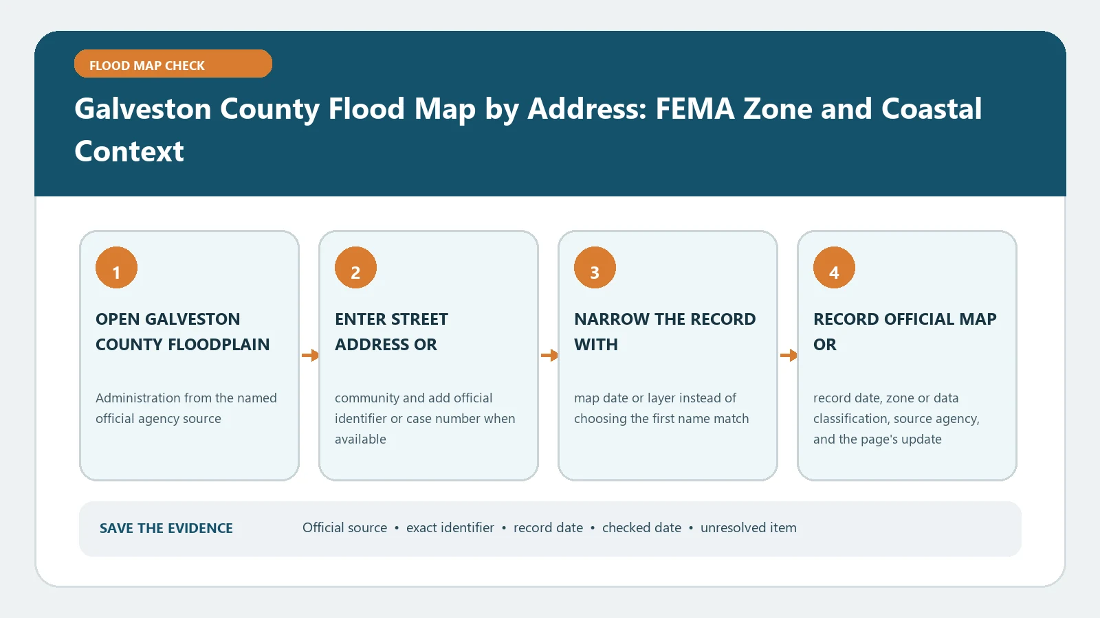
A Galveston County address check begins with jurisdiction, because unincorporated county land and incorporated cities can use different local floodplain offices and map services. Confirm the parcel and governing municipality, retrieve the effective FEMA panel, and then add coastal or surge information as separate context. The result should name the map, date, structure, and decision owner rather than reduce a coastal property to one colour.
The official Galveston County Floodplain Permitting page describes the county office’s role in permitting development and maintaining current and historical FEMA FIRMs. Its Floodplain Permit Application page directs applicants to the county GIS for jurisdiction, flood zone, coastal distance, and related fields. For property inside the City of Galveston, the city’s Flood Protection Information page points to its effective FIRM and local GIS. Verify the federal product in the FEMA Map Service Center. Pages were reviewed August 26, 2026.
Resolve county, city, and parcel identity first
Collect the standardised address, parcel or appraisal identifier, legal description when available, municipality, and selected structure. Do not infer jurisdiction from a Galveston mailing address. The county contains incorporated communities as well as unincorporated land, and the office responsible for a floodplain permit or local determination depends on where the parcel lies.
Use the county’s official GIS route to check whether the site is unincorporated and compare the result with the relevant city or appraisal record. On Bolivar Peninsula, waterfront subdivisions, mobile-home parks, and large tracts, save the parcel outline and building position. A centred pin may not identify the occupied or proposed structure.
Record the jurisdiction before reading the zone. If a municipal boundary crosses or closely approaches the parcel, ask the county or city which authority serves the proposed work. That answer determines the next local map, permit requirements, and contact path.
Reconstruct the effective FEMA record for the structure
Search the verified address or coordinates in FEMA’s portal. Copy the full FIRM panel number, suffix, effective date, zone, floodway status, and any shown BFE or depth. Keep the selected point visible and compare it with the county or municipal parcel. The FEMA FIRM panel guide explains why the suffix and effective date belong with the panel number.
If the structure touches two zones or a LiMWA, save a structure-scale view and both labels. Do not assign the entire property the zone covering most of the acreage. For a development question, the relevant location may be the building footprint, proposed fill, access, septic system, or other work area rather than the parcel centroid.
Older FIRMs can help explain the map in effect when a structure was built, but they do not replace the current effective panel. Label every historical product with its date and purpose. If a lender, agent, or local viewer cites another map, compare the complete product identities before treating the difference as a substantive conflict.
Add coastal evidence without renaming it a FEMA zone
Galveston County properties can face coastal surge, waves, tides, rainfall, drainage, and riverine or bay flooding. A FEMA V or VE zone, Coastal A area, storm-surge scenario, tide gauge, and local drainage layer describe different evidence. Keep the hazard source and scenario beside every layer.
Use Coastal Flood Map Check to organise the coastal sources. If the effective map shows LiMWA, Coastal A Zone and LiMWA Lookup explains why wave information can matter outside a mapped V zone. A hurricane-surge map is useful for preparedness, but it does not amend the effective FIRM or produce a permit decision.
For a City of Galveston parcel, use the city’s own GIS and floodplain information. For unincorporated land, keep the county GIS and floodplain office as the local route. For another incorporated community, follow that municipality rather than importing the City of Galveston’s local rules across the county.
Match local permit questions to the proposed work
The county permit page asks applicants to use GIS information before filing and identifies additional coastal and jurisdiction fields that may matter. Record whether the project is in unincorporated Galveston County, its mapped zone, and any coastal review context shown by the official route. Then ask the responsible office which documents are required for the exact work.
Do not turn a map lookup into a permit conclusion. New construction, fill, grading, an enclosure, a manufactured home, or beachfront work can trigger different documentation and review. A survey, Elevation Certificate, engineering analysis, dune or beachfront review, or other plan may be requested by the authority. The public map guides the question; it does not approve the project.
Investigate disagreement in a fixed order
When the county GIS, a city map, and FEMA do not appear to match, compare:
- the parcel and structure selected by each geocoder;
- incorporated or unincorporated jurisdiction;
- effective, preliminary, and historical map status;
- panel number, suffix, and effective date;
- FEMA zone versus coastal, surge, drainage, or planning layer;
- any Letter of Map Change attached to the site.
Preserve each source separately. Ask the local floodplain authority to identify its controlling development record. Ask a lender or determination provider for the product details behind its decision. Ask an insurer how it uses the property information for a quote. Combining different labels into an average or choosing the least restrictive answer would erase the reason they differ.
Keep coastal readiness outside the regulatory finding
A FIRM describes mapped flood hazards but does not forecast the next storm. Review the official local emergency source, evacuation information, tide or water-level tools, and building access plan separately. Ground-floor enclosures, parking, utilities, roads, and evacuation routes can be affected even when the occupied floor is elevated.
The map result is not a safety finding, insurance price, elevation certification, or work authorisation. It also does not show every rainfall or drainage problem. Those limits should appear beside the result rather than in a forgotten disclaimer.
Assemble a Galveston jurisdiction and coast packet
Save the address, parcel ID, incorporated status, governing office, selected structure, county or city map layer, FEMA panel and effective date, zone, BFE or depth with datum, LiMWA or coastal context, map screenshots, source URLs, and lookup date. Add separate rows for permit, insurance, lender, and emergency follow-up.
Close with a bounded statement: these official sources displayed these named fields for the matched structure and jurisdiction on the reviewed date. If jurisdiction, panel identity, or coastal layer purpose remains uncertain, leave the conclusion open and send the packet to the responsible county or municipal office before relying on it.