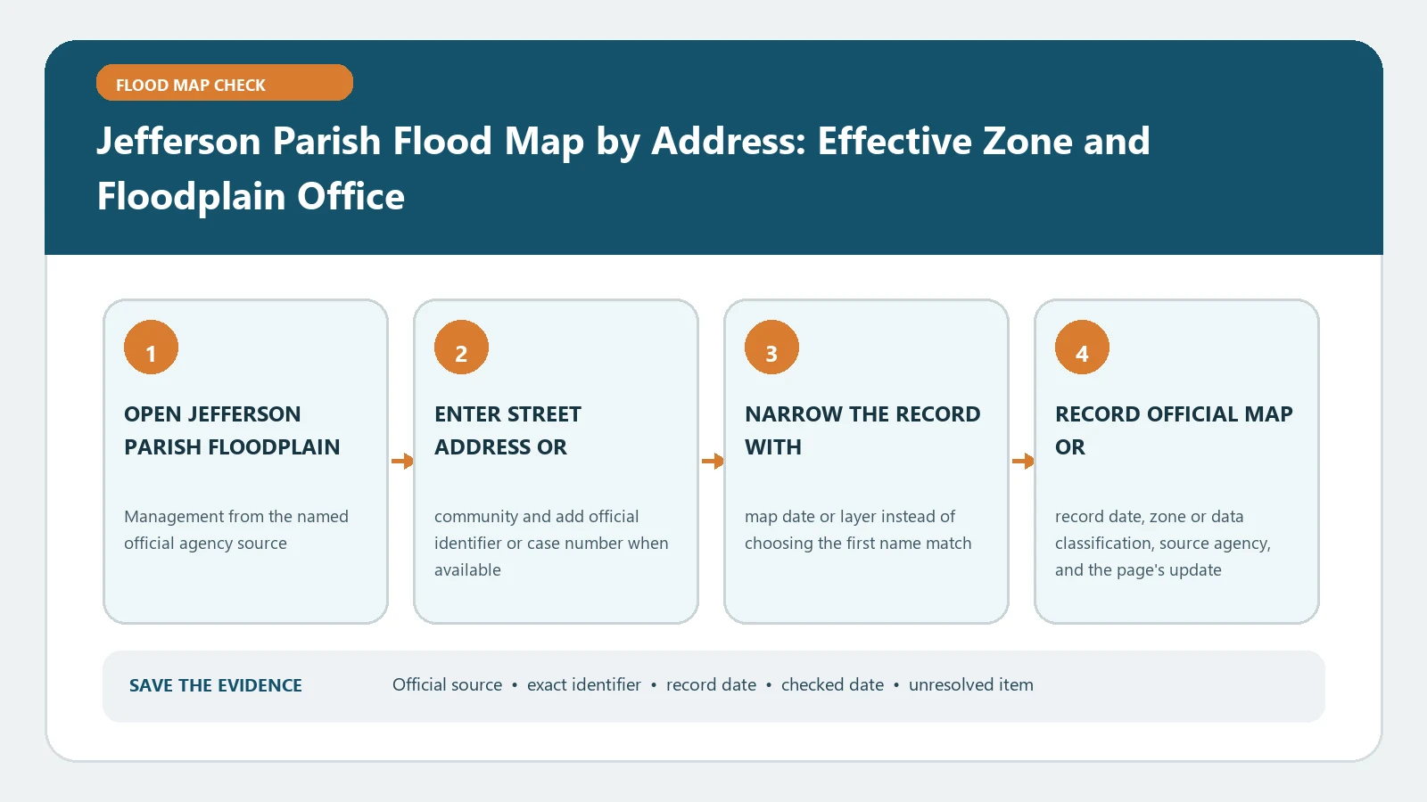
For a Jefferson Parish address, first determine whether the property is in unincorporated Jefferson Parish or an incorporated municipality, then match the exact parcel in the Parish GeoPortal and verify the effective FEMA panel. The parish can provide community letters only for properties within its stated service area. A GeoPortal result is not a survey, and a parishwide mailing address does not prove which municipality owns the determination.
The official Jefferson Parish Flood Zone Determination page links both the local viewer and the letter search. Its current public text identifies February 2, 2018 as the effective map date and warns incorporated-property owners to contact their municipality. The Jefferson Parish GeoPortal supplies the local spatial search, and the FEMA Map Service Center supplies the federal product record. Checked August 26, 2026; confirm the live dates and service boundaries again when the result will be used in a transaction.
Split the address from the jurisdiction
A Kenner, Gretna, Harahan, Westwego, Grand Isle, or other municipal mailing name can point to a different local authority than unincorporated Jefferson Parish. Do not send every address to the same office. Begin with the parcel, municipal boundary, and the jurisdiction statement on the parish page.
Save these identity fields before interpreting any flood color:
- normalized street number and street name;
- parcel, assessment, or other local property identifier shown by the portal;
- incorporated municipality or unincorporated-parish status;
- selected structure when several buildings occupy the parcel;
- purpose and date of the search.
If jurisdiction remains unclear, stop there and ask the parish or municipality to identify the office that issues a determination. This avoids obtaining a polished letter from an office that does not govern the property.
Use the GeoPortal as a spatial join
Open the parish flood page, follow its GeoPortal route, and search the address. Confirm the selected feature against road position, parcel shape, adjacent addresses, and any building outline. The portal’s own disclaimer says its GIS data must be independently verified and must not be used as a property survey. Treat that warning as an instruction about scope, not boilerplate.
Turn on only the layers needed for the question. Record the exact layer names, visible map date, flood zone, boundary location, and any available panel or elevation information. Export or print a view that shows the address context and legend. Do not crop away the source, layer label, or scale, because those details are what make the image reviewable later.
Where a zone edge appears close to the structure, identify whether the line crosses vacant land, an accessory structure, or the main building. Flood Zone Boundary Crosses a Parcel explains why a parcelwide label can be misleading.
Match the parish view to the effective FIRM
Run the same location through the Map Service Center. Compare the zone with the effective FIRM panel, not a preliminary or historic product. Save the full panel number, suffix, effective date, map status, BFE or depth if shown, floodway information, and any relevant map-change record.
The parish page’s stated current date is a useful checkpoint, but the FEMA result must still be read at panel level. Selected panels can change, and a Letter of Map Change can affect a site without making the base panel image look different. Use Flood Map Update Date Check when the local display and a downloaded FIRM show different dates.
Do not assume levee-related shading means no flood risk. Copy the exact label and legend description rather than reducing it to low risk. A FEMA insurance zone, local drainage problem, levee context, and emergency scenario can coexist without being interchangeable.
Retrieve a prior determination without treating it as timeless
The parish page also links an official search for an existing Flood Zone Determination letter. The letter search asks for street name and address number. Use the same normalized address that matched the parcel. If a letter appears, preserve its issue date, property identity, zone statement, and any map reference.
An older letter is evidence of what the issuing office determined from the identified map information at that time. It does not automatically answer a later map edition, altered structure, parcel split, or new development proposal. Compare its map date and property description with the current map packet. If they differ, request a current determination from the office with jurisdiction.
Work through missing and contradictory results
When the address returns no portal match, try a standardized street spelling and search by the available parcel identifier. When the pin lands on the wrong side of a divided road or canal, verify the parcel rather than dragging the marker until the preferred zone appears. If the parish layer and FEMA FIRM disagree, check search point, map status, panel suffix, effective date, and incorporated map changes in that order.
A parcel crossing a line should remain unresolved until the relevant structure or project location is established. A blank BFE field does not authorize inserting a number from a nearby label. Use How to Find a Base Flood Elevation and ask the floodplain authority when the official study needs interpretation.
Use a second pass when the first search appears clean. Reopen the result with the parcel identifier, compare the structure with aerial imagery, and check whether an accessory building or detached garage caused the initial selection. Then inspect incorporated map changes and the determination-letter date. This short replay is especially useful when a buyer, tenant, lender, and permit applicant have circulated different screenshots for what they believe is the same property.
Preserve an answer another person can reproduce
Your final record should include the exact address, parcel identifier, jurisdiction, selected structure, GeoPortal layer and export, parish determination-letter result, FEMA panel number and effective date, zone and floodway, any BFE with datum, map-change references, source URLs, and checked date. Keep local and federal findings in separate rows.
The result proves only what the named parish and FEMA products showed for the matched location when checked. It does not establish a legal boundary, certify an elevation, waive insurance, or approve construction. Send the packet to the municipality or parish office for a local determination, to a survey professional for elevation questions, and to the lender or insurer for their own decision.