USGS Provisional Water Data: Read Approval Status and Qualification Codes
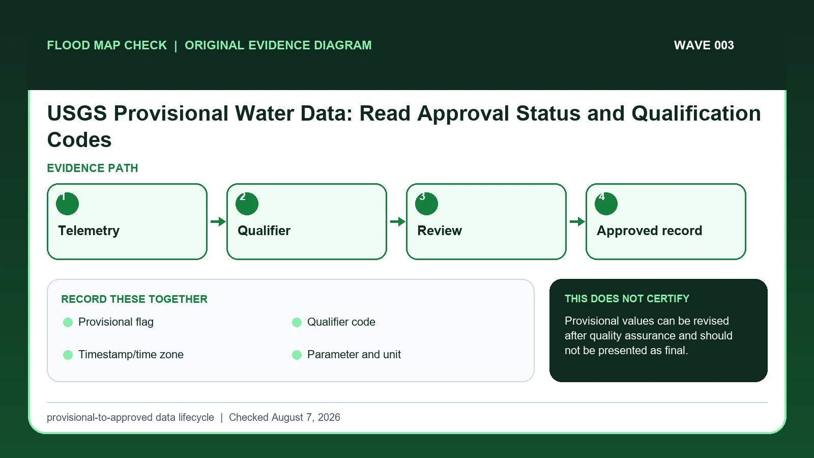
Treat every USGS provisional water value as a dated observation that can change after station, rating, datum, qualifier, and approval review.
 Flood Map Check
Treat every USGS provisional water value as a dated observation that can change after station, rating, datum, qualifier, and approval review.
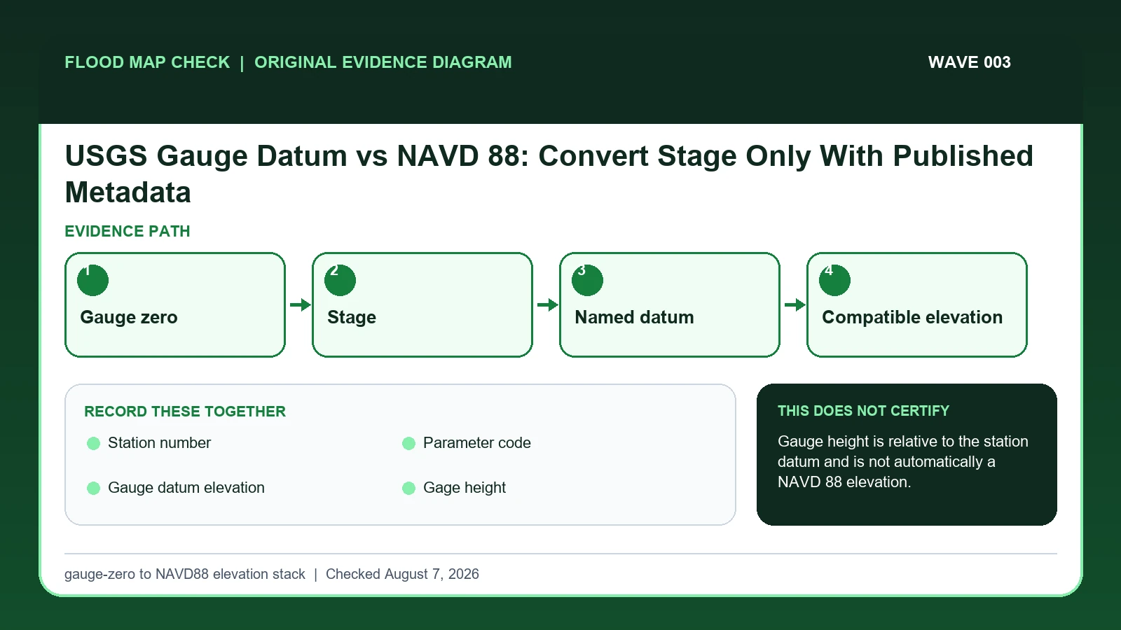
A USGS gauge height is normally measured above the station’s local gauge datum, not directly above NAVD 88.
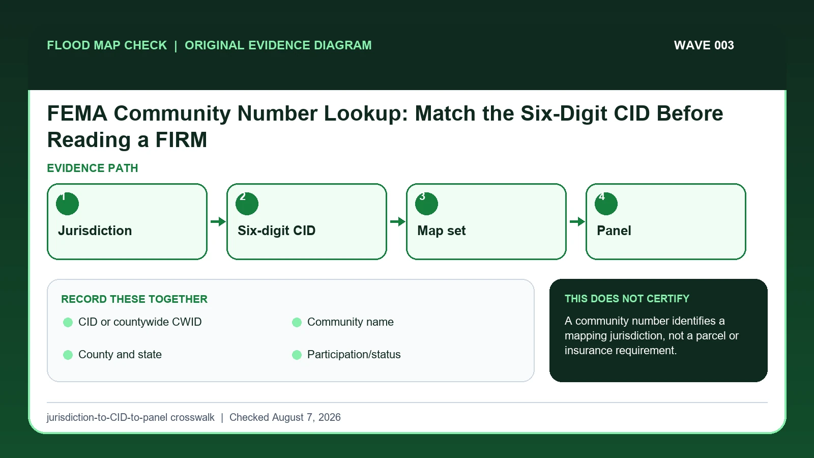
Use the FEMA CID or countywide CWID to identify the correct mapped jurisdiction and map set before selecting a FIRM panel for a property.
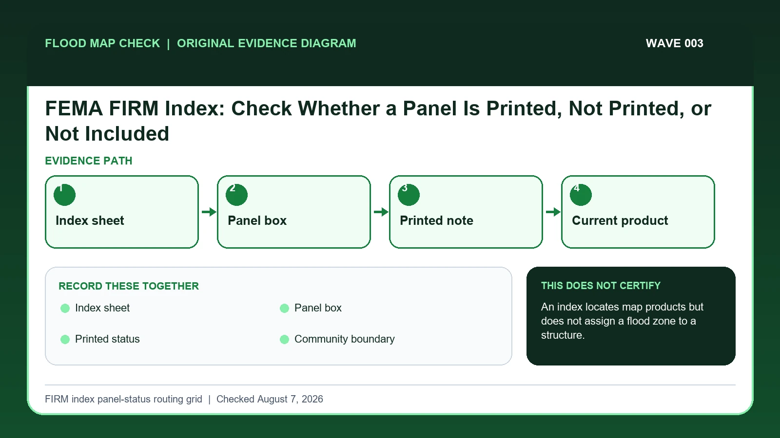
Use the FIRM Index to identify which numbered panel should cover a location and whether that panel is printed, not printed, or outside the mapped set.
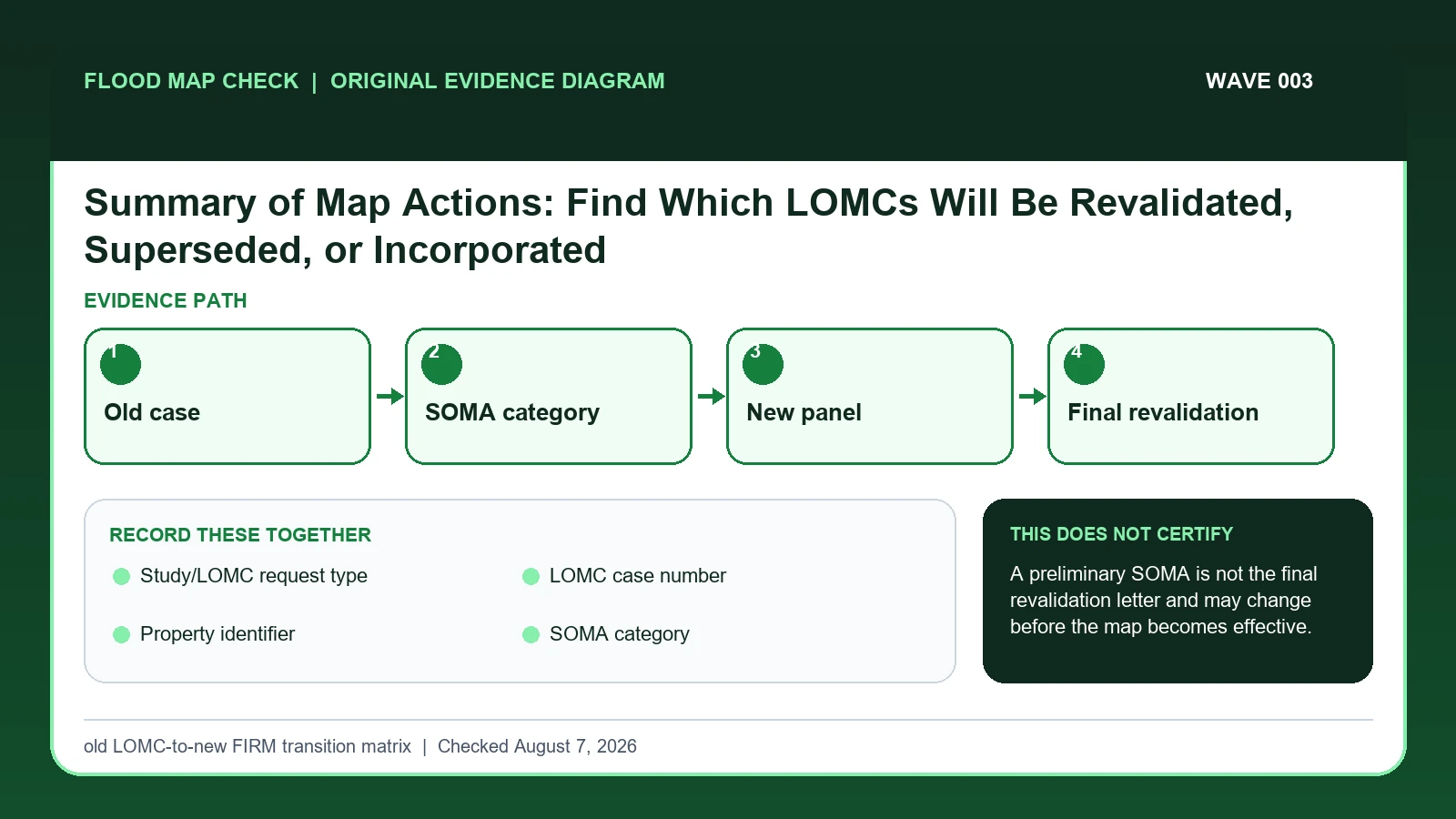
A FEMA Summary of Map Actions shows the expected treatment of previously issued map-change determinations when a new or revised FIRM is prepared.
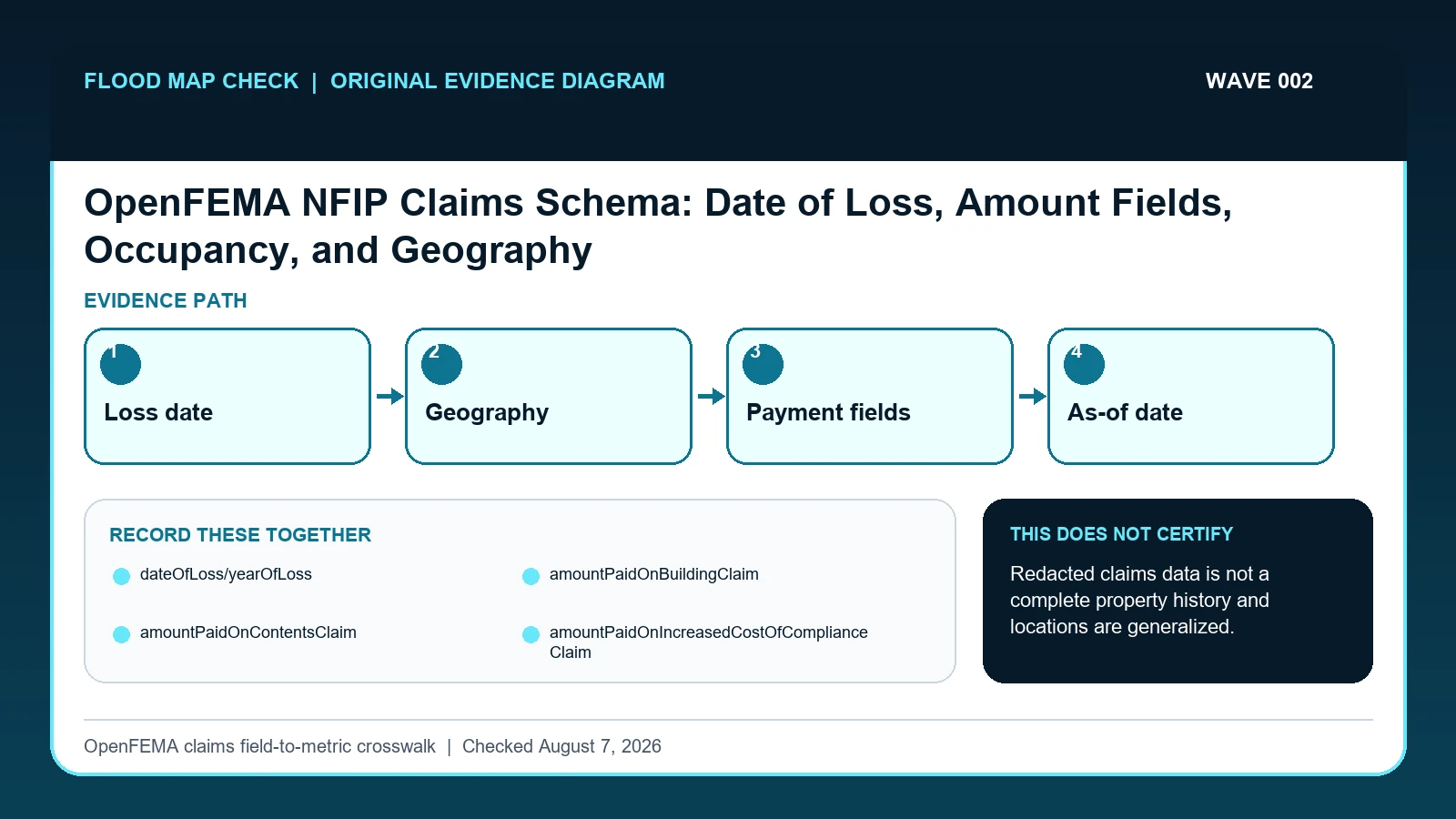
Define the OpenFEMA NFIP claims row, loss-date filter, geography, payment fields, and as-of date before counting records or summing paid amounts.
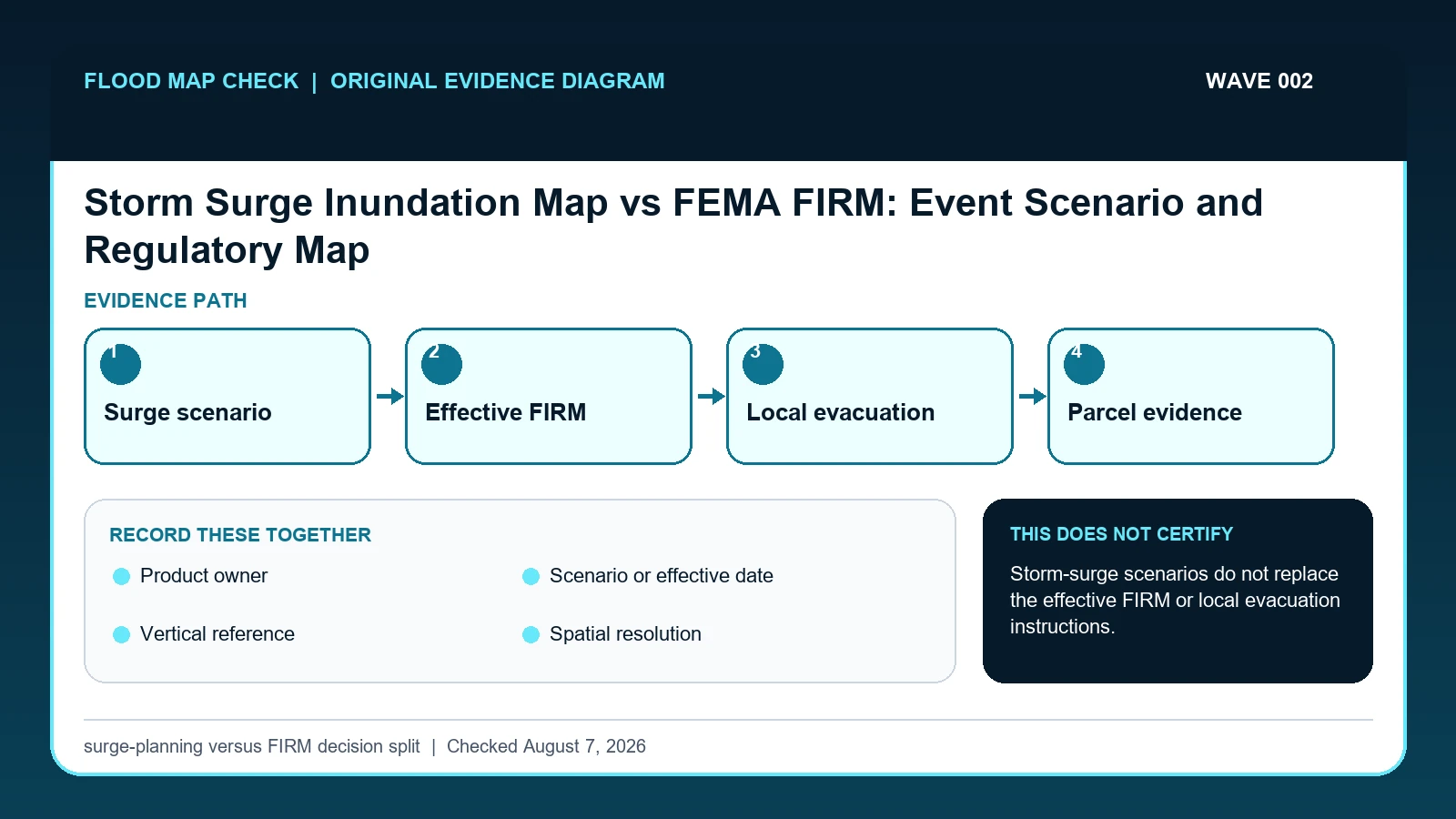
A NOAA or NHC storm-surge product shows coastal water potential for a stated scenario or event, while a FEMA FIRM supplies regulatory flood-map context.
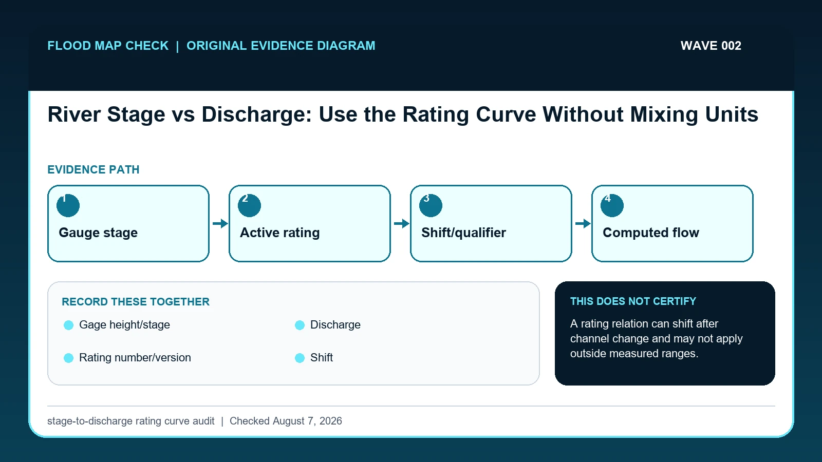
River stage is water-surface height relative to a gauge reference; discharge is the volume of water passing a section per unit time.
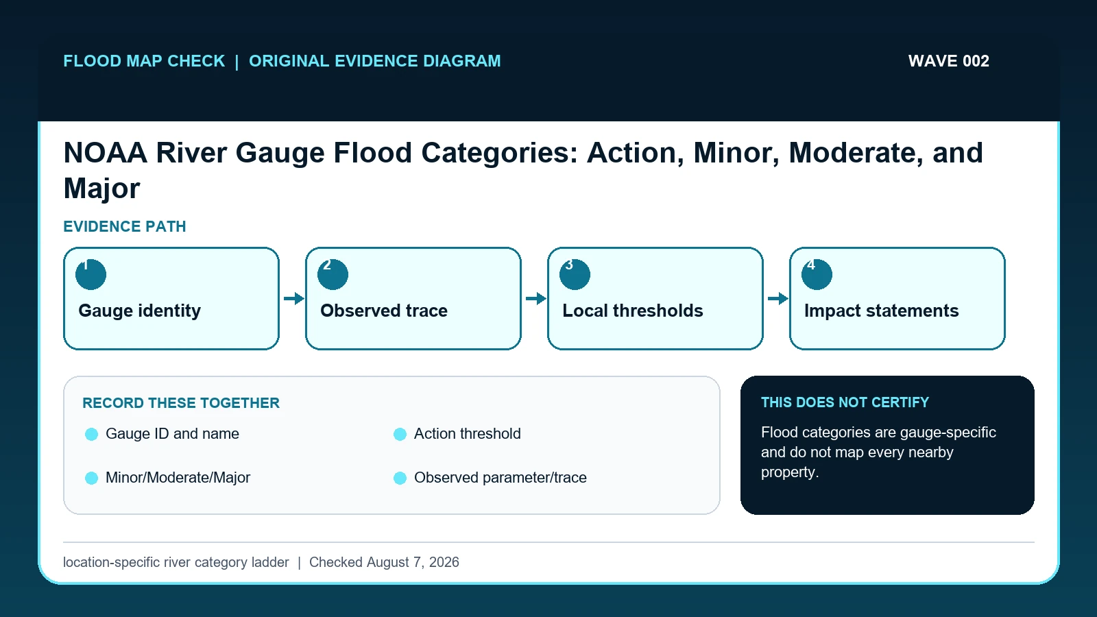
NOAA’s Action, Minor, Moderate, and Major flood categories are thresholds defined for an individual forecast location.
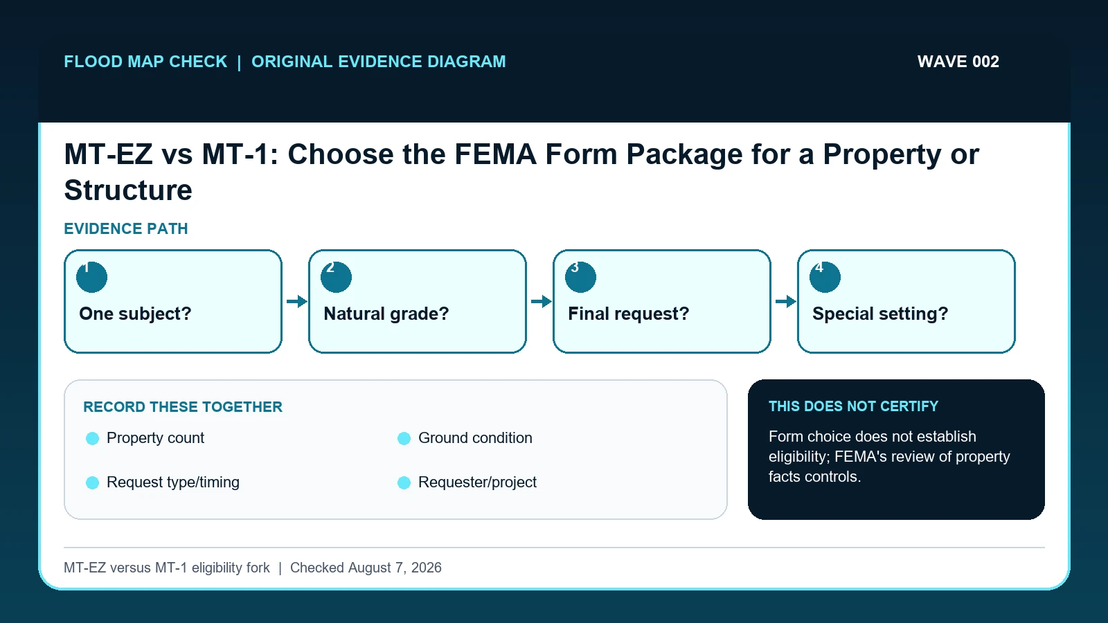
Use MT-EZ only for a qualifying single residential structure or legally recorded lot on natural ground.