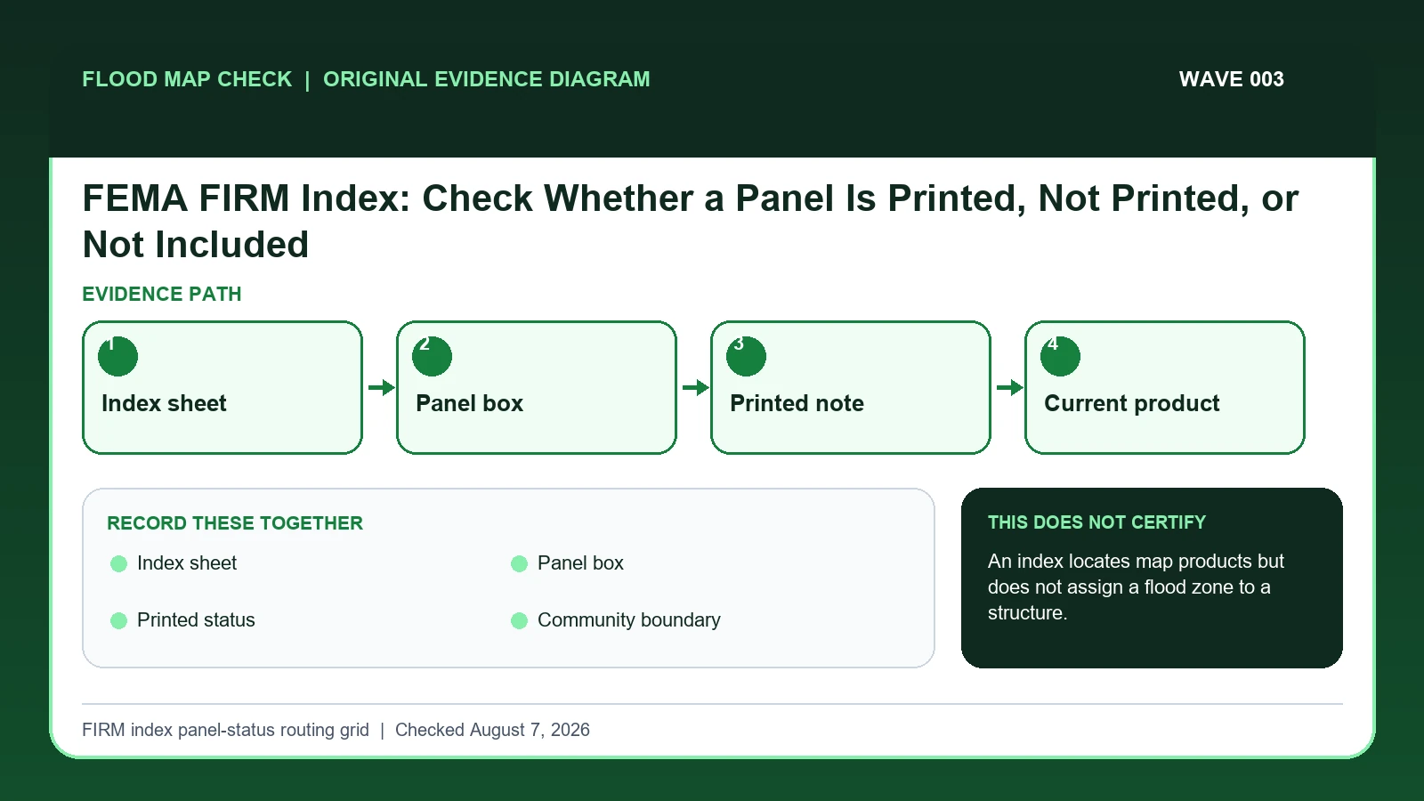
Use the FIRM Index to identify which numbered panel should cover a location and whether that panel is printed, not printed, or outside the mapped set. The index is a navigation record; open the current panel inventory and effective product before reading a flood zone, because an index box does not assign a zone to a building.
Last checked: August 7, 2026.
A FIRM Index lays out the panel grid, community boundaries, sheet references, and notes for panels that are not separately printed. A panel may be unprinted because it contains no mapped flood hazard or for another documented mapping reason, but a blank-looking index square is not permission to conclude minimal risk. Index dates can also lag individual panel revisions, so the Map Service Center inventory and panel title block remain part of the check.
Printed status is a product note, not a risk finding
The FIRM Index is a routing document. It identifies the map set, community or countywide number, panel grid, and panel ranges so the reader can locate the product that covers a place. The panel itself supplies the flood-zone detail. A printed-status note or a panel-not-printed notation explains product availability; it does not assign a building to Zone X or declare that flood hazards are absent.
Near an index seam, geocoding only the street address is not enough. Place the parcel and the relevant building against an authoritative boundary, record both candidate panel numbers, and inspect match lines and title blocks. If the main structure lies on one panel while an accessory building or rear parcel edge crosses another, the record should say so. Borrowing the only downloadable neighboring panel can create a confident zone answer for the wrong sheet.
Indexes and panels may have different revision histories. Save the index date, complete panel code, suffix, panel effective date, and current product inventory separately. A historical survey can correctly cite an older suffix without describing today's effective map. Preserve that citation as historical evidence and add the current product beside it; silently replacing the old suffix destroys the ability to understand which map the surveyor actually used.
The Index routes the lookup; the panel carries the zone
FEMA FIRM Index lesson supplies the Index title block, community name and number, panel grid, map-panel ranges, and navigation role of an Index; this guide cites it for Index sheet / Panel box / Printed status / Community boundary / Panel inventory date. FEMA FIRM panel-number lesson supplies the complete panel-code structure: six-digit CID or five-digit CWID plus C, four-digit panel number, and trailing revision suffix; this guide cites it for Panel box. FEMA MSC Search All Products lesson supplies the current effective map plus preliminary maps, historic FIRM panels, Flood Insurance Studies, Letters of Map Change, and other community products; this guide cites it for Printed status / Panel inventory date.
The FEMA FIRM index panel status crosswalk keeps these assignments explicit: FEMA FIRM Index lesson → Index sheet / Panel box / Printed status / Community boundary / Panel inventory date; FEMA FIRM panel-number lesson → Panel box; FEMA MSC Search All Products lesson → Printed status / Panel inventory date. If Index sheet or another named field is absent from its cited record, leave that fact unresolved and obtain it from the responsible official source instead of expanding a different citation beyond scope.
| Official record | What it actually supplies | Field used here |
|---|---|---|
| FEMA FIRM Index lesson | the Index title block, community name and number, panel grid, map-panel ranges, and navigation role of an Index | Index sheet / Panel box / Printed status / Community boundary / Panel inventory date |
| FEMA FIRM panel-number lesson | the complete panel-code structure: six-digit CID or five-digit CWID plus C, four-digit panel number, and trailing revision suffix | Panel box |
| FEMA MSC Search All Products lesson | the current effective map plus preliminary maps, historic FIRM panels, Flood Insurance Studies, Letters of Map Change, and other community products | Printed status / Panel inventory date |
Do not extend a citation beyond its mapped fields. Evidence for Index sheet cannot automatically establish Panel inventory date; keep either unanswered item visible before taking the action to decide which panel product actually covers the location.
How Index sheet connects to Panel inventory date
| Field | Meaning in this check | Error it exposes | Response |
|---|---|---|---|
| Index sheet | Page of the multi-sheet community or county index | Wrong sheet can hide the panel | Record sheet number and index date |
| Panel box | Grid cell with the panel identifier | A point near an edge needs careful placement | Check parcel and building location |
| Printed status | Whether a separate panel product exists | Not printed does not equal no flood risk | Read the applicable footnote |
| Community boundary | Shows mapped jurisdictions | Mailing city can differ from NFIP community | Match the responsible community |
| Panel inventory date | Current product status at MSC | Index copy may be older | Use current effective product metadata |
Index sheet is the starting identifier, but it is usable only when Panel box and Printed status agree. Two conflicts can break that agreement: “Wrong sheet can hide the panel” and “Not printed does not equal no flood risk”. A polished screenshot cannot repair either one.
For interpretation, Panel box answers “Grid cell with the panel identifier”, while Community boundary answers “Shows mapped jurisdictions”. They are not interchangeable. A failure in the first calls for “Check parcel and building location”; a failure in the second calls for “Match the responsible community”.
The final safeguard is Panel inventory date, which answers “Current product status at MSC”. Its warning condition is “Index copy may be older”. At that point in the FEMA FIRM index panel status check, document the limited result or take the unresolved issue to the official decision owner.
Trace the building through the grid and current inventory
Verify two checkpoints before interpreting Panel inventory date: “Locate the parcel and building footprint, especially when the address point falls near an index line”, followed by “Copy every candidate panel number and printed-status note”. If the first checkpoint fails, stop before applying the second to a possibly wrong Index sheet subject or record.
- Confirm the NFIP community or countywide map set rather than relying on the postal city.
- Open the current FIRM Index and record its sheet, date, and community identifiers.
- Locate the parcel and building footprint, especially when the address point falls near an index line.
- Copy every candidate panel number and printed-status note.
- Check the Map Service Center inventory for current effective products and revision dates.
- Open the controlling panel and verify its title block before reading zone or elevation information.
- Save unresolved coverage as an index question for the local floodplain administrator, not as a risk conclusion.
The file is ready for later review only after this final action: “Save unresolved coverage as an index question for the local floodplain administrator, not as a risk conclusion”. Keep Index sheet, Printed status, and Panel inventory date in that record so a future update shows exactly what changed.
A building near two Index boxes when one panel is unprinted
When an address geocodes near the edge of two boxes, locate the parcel and building on an authoritative basemap, read both panel numbers, and compare the printed-status notes. If one panel is not printed, open the index footnote and current inventory. Do not borrow the adjacent panel's zone merely because it is the only PDF available.
In this example, Index sheet identifies the relevant record, while Printed status is the fact most likely to change the interpretation. Conclude “Panel can be opened” only when the evidence shows “Current effective PDF/data exists”.
For FEMA FIRM index panel status, if the facts instead fit “Panel-edge location”, the result changes to “Single marker may select wrong product”. Respond by following “Inspect both panels and exact footprint”. Do not substitute the more favorable conclusion from the earlier example.
Printed product, unprinted notation, seam, and stale edition
| Observed state | Evidence test | Limited conclusion | Next response |
|---|---|---|---|
| Printed panel | Current effective PDF/data exists | Panel can be opened | Verify title block, suffix, and effective date |
| Panel not printed | Index note explains no separate product | Zone cannot be inferred from blank space | Use official note and local evidence |
| Outside included area | Location falls beyond the mapped project | FEMA product may not answer | Find responsible community/local study |
| Panel-edge location | Building or parcel touches two boxes | Single marker may select wrong product | Inspect both panels and exact footprint |
The first decision turns on “Current effective PDF/data exists”, while the next turns on “Index note explains no separate product”. Those tests lead to different conclusions—“Panel can be opened” and “Zone cannot be inferred from blank space”—so they should remain separate in the saved record.
“Outside included area” calls for “Find responsible community/local study”, but “Panel-edge location” calls for “Inspect both panels and exact footprint”. Reporting the Outside included area and Panel-edge location differences is more accurate than forcing both conditions into one generalized warning.
Seams, unprinted panels, and different revision dates
- Avoid calling panel not printed no risk. Recheck Printed status. The mapped warning is “Not printed does not equal no flood risk”; the corresponding response is “Read the applicable footnote”.
- Avoid using a mailing city as the community. Recheck Community boundary. The mapped warning is “Mailing city can differ from NFIP community”; the corresponding response is “Match the responsible community”.
- Avoid reading an old index date as the panel date. Recheck Panel inventory date. The mapped warning is “Index copy may be older”; the corresponding response is “Use current effective product metadata”.
- Avoid choosing a panel from an imprecise marker. Recheck Panel box. The mapped warning is “A point near an edge needs careful placement”; the corresponding response is “Check parcel and building location”.
Check Printed status when the risk is “calling panel not printed no risk”, because the mapped warning is “Not printed does not equal no flood risk”. Check Community boundary separately for “using a mailing city as the community” and use “Match the responsible community” as the recovery step.
Two field-specific corrections are required. For “reading an old index date as the panel date”, follow “Use current effective product metadata”. For “choosing a panel from an imprecise marker”, follow “Check parcel and building location”. Keeping Panel inventory date separate from Panel box prevents one repaired field from hiding the other error.
What this FIRM index panel-status routing grid cannot decide
Scope: United States effective FEMA flood map products. Limitation: An index locates map products but does not assign a flood zone to a structure.
The value of the FIRM index panel-status routing grid is traceability: it places Index sheet, Printed status, and Panel inventory date beside their sources. Authority to decide the underlying Index sheet remains with the organization named in the official record.
Continue from Index navigation to the exact FIRM panel
- Consult FEMA Flood Map Check By Address after Index sheet has been matched to the correct subject and date.
- Consult Flood Risk Map By Address for the distinct issue revealed by Printed status.
- Consult FEMA FIRM Panel Guide when Panel inventory date changes the next official step beyond the action to decide which panel product actually covers the location.
Use this guide to decide which panel product actually covers the location. The linked guides address separate questions raised by Index sheet, Printed status, or Panel inventory date.
Before assigning a zone from an Index
Does Index sheet settle the question by itself?
No. Index sheet answers “Page of the multi-sheet community or county index”, but it can fail when “Wrong sheet can hide the panel”. Pair it with Panel box, Printed status, and the checked date.
What if the evidence shows Panel-edge location?
Confirm the stated evidence test: “Building or parcel touches two boxes”. The limited conclusion is “Single marker may select wrong product”. The documented response is “Inspect both panels and exact footprint”; a more favorable branch should not be substituted.
When should Panel inventory date be checked again?
Return to the Index when FEMA publishes a new map set, changes a panel suffix, adds a printed panel, or revises an effective date. Keep the earlier Index and panel title block when explaining why an older survey cites a different sheet.
FEMA FIRM Index: Check Whether a Panel Is Printed, Not Printed, or Not Included is independent public-record guidance for the limited action to decide which panel product actually covers the location. The cited government records retain authority over Index sheet and Panel inventory date. Last checked: August 7, 2026.