Skip to content

Flood Map Check

  • Privacy Policy
  • About Flood Map Check
  • Contact
  • Editorial Policy

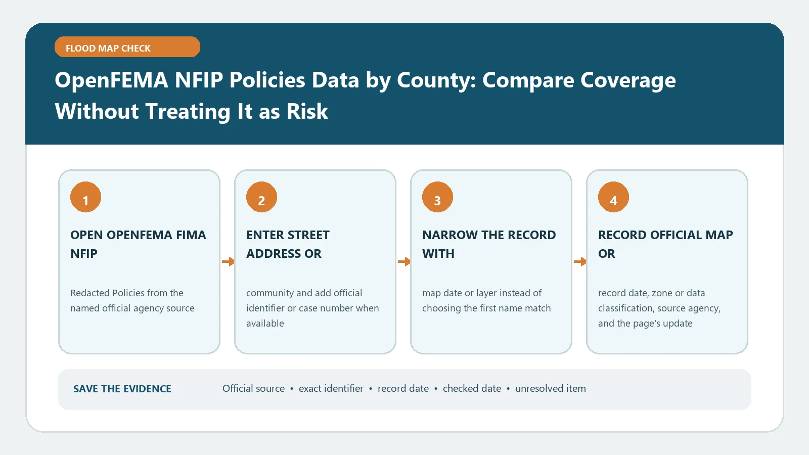
OpenFEMA NFIP Policies Data by County: Compare Coverage Without Treating It as Risk
August 31, 2026August 5, 2026 by Flood Map Check
OpenFEMA NFIP Policies Data by County: Compare Coverage Without Treating It as Risk verification workflow showing official source, exact identifiers, result fields, date, and escalation step

County policy totals from OpenFEMA show coverage activity for the selected period and geography. They should not be converted into a parcel hazard score or an estimate of uninsured properties.
Categories Map Explainers

OpenFEMA NFIP Claims Data by County: Build a Historical Flood-Loss Table

August 31, 2026August 5, 2026 by Flood Map Check
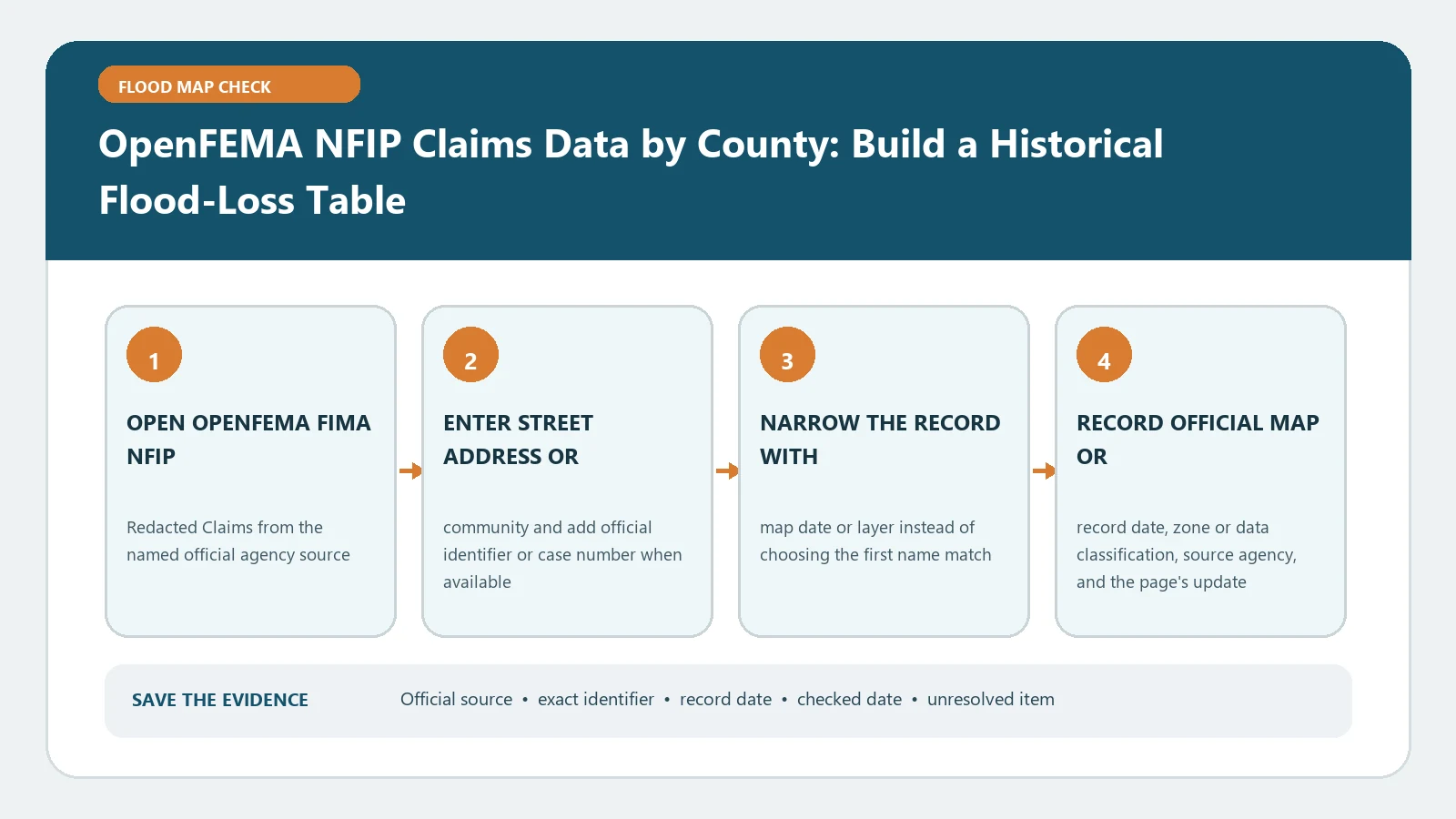
OpenFEMA NFIP Claims Data by County: Build a Historical Flood-Loss Table verification workflow showing official source, exact identifiers, result fields, date, and escalation step

Build a county loss table from OpenFEMA’s redacted NFIP claims fields and retain the event periods and dataset date. Aggregated paid claims describe history, not the risk of a particular address.

Categories Map Explainers

Regulatory Floodway vs Floodplain: Check Both Before Planning Work

August 31, 2026August 5, 2026 by Flood Map Check
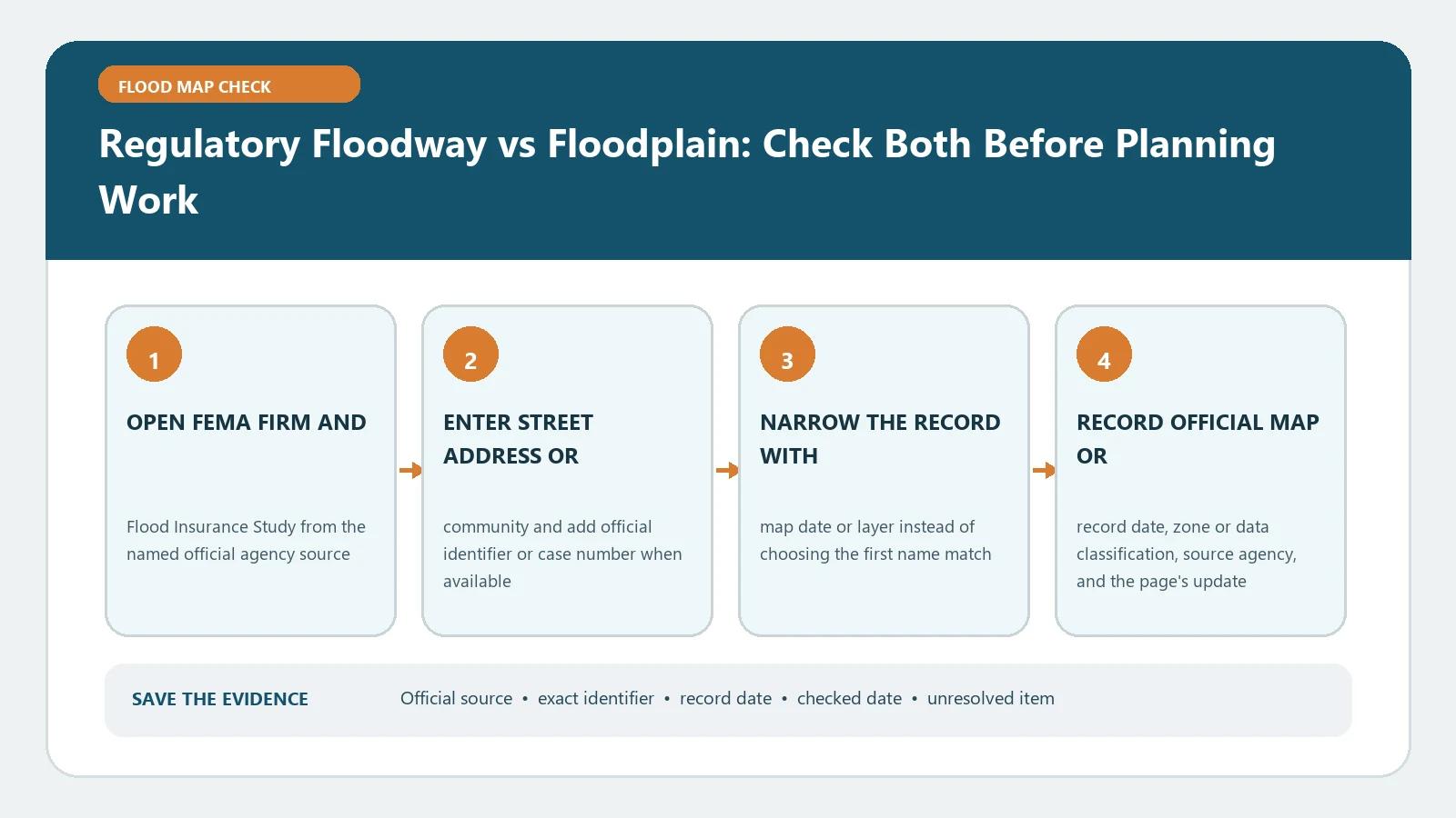
Regulatory Floodway vs Floodplain: Check Both Before Planning Work verification workflow showing official source, exact identifiers, result fields, date, and escalation step

A regulatory floodway is a defined part of the broader floodplain with separate development constraints. Review the effective FIRM, FIS, and local ordinance before planning work near its boundary.

Categories Map Explainers

Base Flood Elevation vs Design Flood Elevation: Which Number Controls the Project?

August 25, 2026August 5, 2026 by Flood Map Check
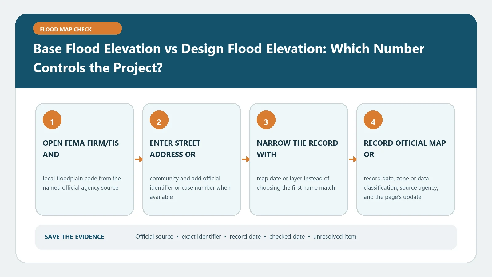
Base Flood Elevation vs Design Flood Elevation: Which Number Controls the Project? verification workflow showing official source, exact identifiers, result fields, date, and escalation step

BFE comes from FEMA flood-hazard mapping, while design flood elevation is applied through the governing construction rules. Match both sources to the project before selecting a design number.

Categories Map Explainers

Coastal A Zone and LiMWA Lookup: Find Wave Risk Outside Zone V

August 31, 2026August 5, 2026 by Flood Map Check
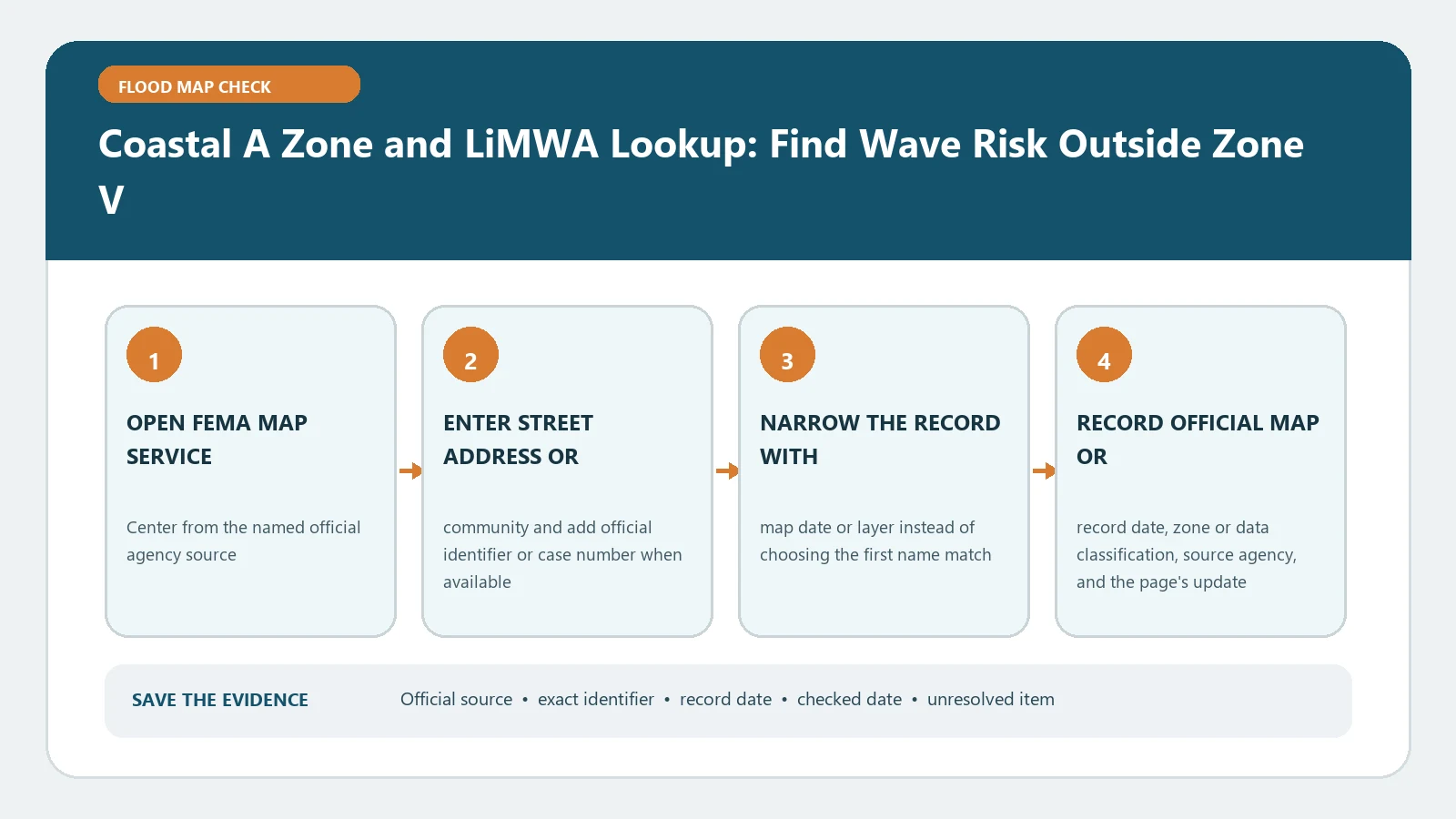
Coastal A Zone and LiMWA Lookup: Find Wave Risk Outside Zone V verification workflow showing official source, exact identifiers, result fields, date, and escalation step

Locate the LiMWA to see where moderate wave action may extend landward of Zone V within a coastal A area. Its line adds wave context; local building rules still require an authority check.

Categories Map Explainers

Shaded vs Unshaded Flood Zone X: Read the 0.2% and Minimal-Risk Labels

August 31, 2026August 5, 2026 by Flood Map Check
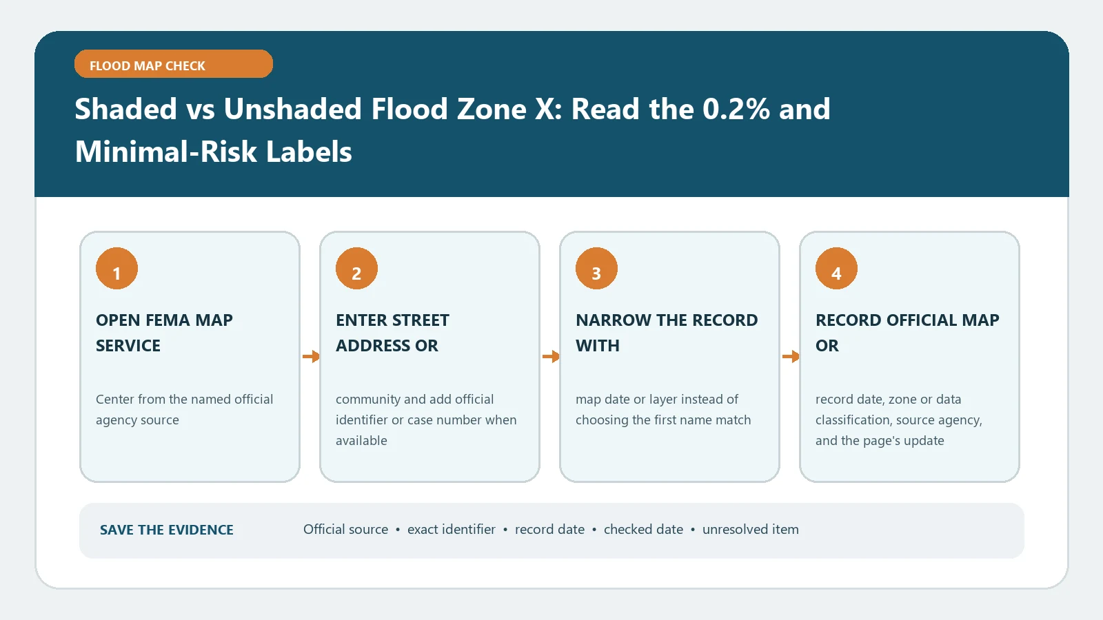
Shaded vs Unshaded Flood Zone X: Read the 0.2% and Minimal-Risk Labels verification workflow showing official source, exact identifiers, result fields, date, and escalation step

Shaded and unshaded Zone X represent different mapped categories, including the 0.2-percent-annual-chance area where shown. Neither label means flooding is impossible.

Categories Map Explainers

Flood Zone AH: Find the Shown Base Flood Elevation and Ponding Area

August 25, 2026August 5, 2026 by Flood Map Check
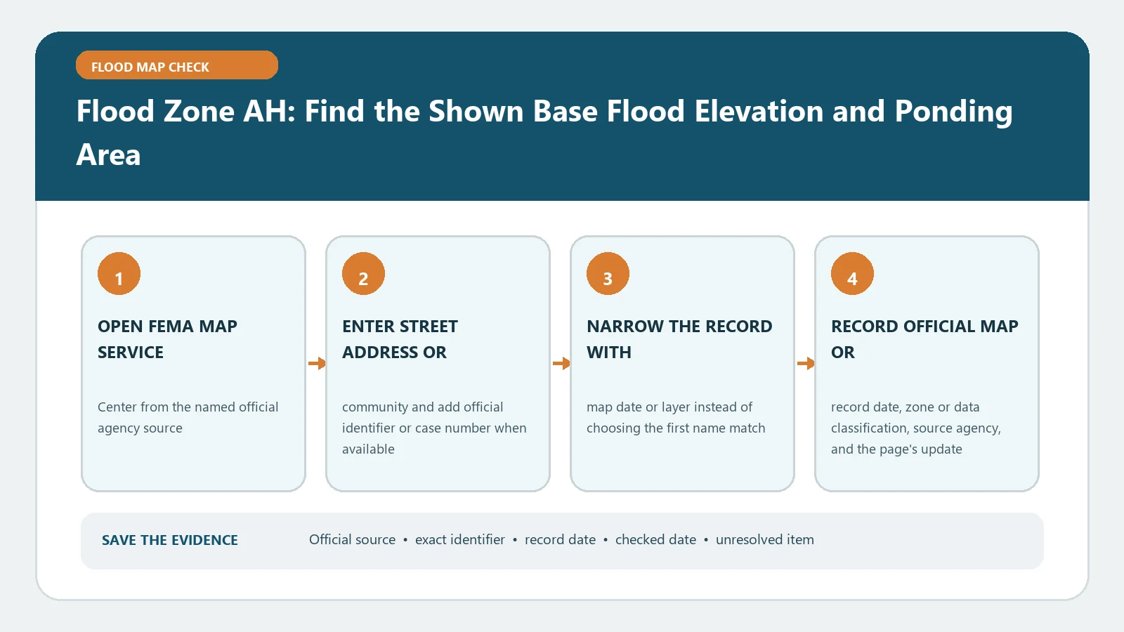
Flood Zone AH: Find the Shown Base Flood Elevation and Ponding Area verification workflow showing official source, exact identifiers, result fields, date, and escalation step

Zone AH generally displays a BFE for shallow ponding. Center the correct site and record the panel, effective date, datum, and shown elevation before comparing any building measurement.

Categories Map Explainers

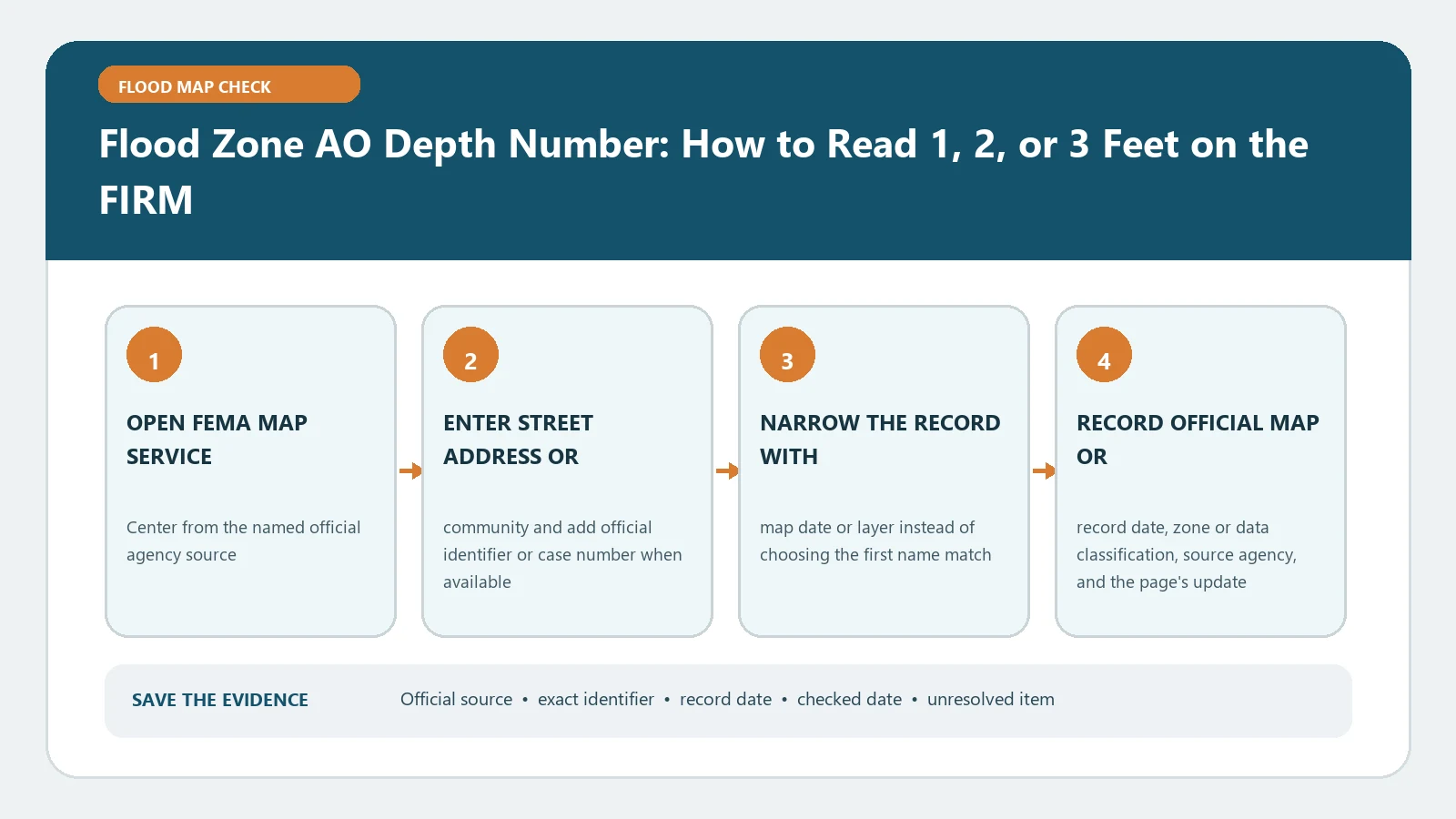
Flood Zone AO Depth Number: How to Read 1, 2, or 3 Feet on the FIRM

August 31, 2026August 5, 2026 by Flood Map Check
Flood Zone AO Depth Number: How to Read 1, 2, or 3 Feet on the FIRM verification workflow showing official source, exact identifiers, result fields, date, and escalation step

In Zone AO, the printed depth number describes average shallow-flood depth for the mapped area. Match the exact panel and legend; it is not the structure’s measured floor elevation.

Categories Map Explainers

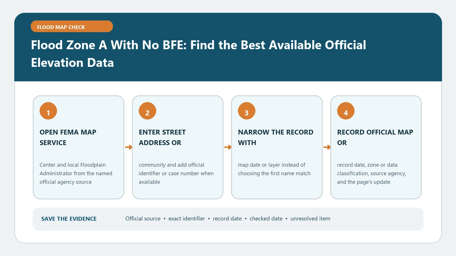
Flood Zone A With No BFE: Find the Best Available Official Elevation Data

August 31, 2026August 5, 2026 by Flood Map Check
Flood Zone A With No BFE: Find the Best Available Official Elevation Data verification workflow showing official source, exact identifiers, result fields, date, and escalation step

When Zone A shows no BFE, search FEMA’s adopted map and study, then ask the local floodplain administrator for best available elevation data. Never estimate a controlling value from nearby labels.

Categories Map Explainers

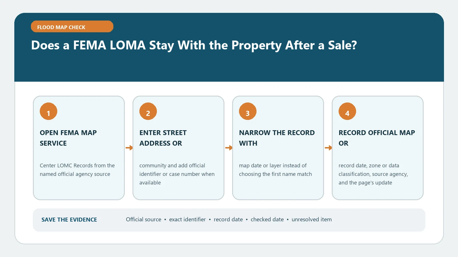
Does a FEMA LOMA Stay With the Property After a Sale?

August 31, 2026August 5, 2026 by Flood Map Check
Does a FEMA LOMA Stay With the Property After a Sale? verification workflow showing official source, exact identifiers, result fields, date, and escalation step

For a property sale, retrieve the original LOMA case and verify its legal description, determination, status, and relationship to the current FIRM. Ownership transfer alone neither cancels nor extends the letter.

Categories Property Checks
Older posts
Newer posts
← Previous Page1 … Page6 Page7 Page8 … Page14 Next →

Recent Posts

  • Sarasota County Flood Zone and Elevation Certificate Search
  • Charlotte County FL Elevation Certificate Search
  • Palm Beach County Flood Zone and Elevation Certificate Search
  • Collier County Flood Map and Elevation Certificate Search
  • Disaster Declaration Incident Type vs Assistance Programs: Filter Flood Events Correctly

Recent Comments

No comments to show.
© 2026 Flood Map Check • Built with GeneratePress