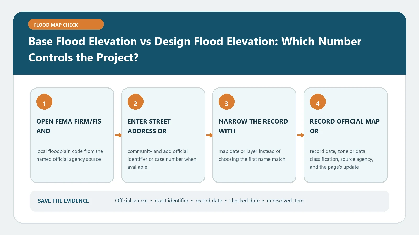
The Base Flood Elevation and the Design Flood Elevation are inputs from different rule layers, and the project must satisfy the governing local requirement. BFE describes the modeled elevation of the base flood for the mapped source. DFE is the elevation used by the adopted building rules for design and construction. In a community with required freeboard, DFE can be higher than BFE.
FEMA defines Base Flood Elevation as the water-surface elevation of the flood with a one-percent annual chance of being equaled or exceeded. FEMA’s 2024 flood-resistant provisions compilation shows how model building-code provisions establish and use design flood elevations. Checked August 26, 2026. The enforceable answer still comes from the code and map adopted by the authority having jurisdiction for the project.
Put the decision owner at the top of the worksheet
Record the property jurisdiction, permit authority, code edition, local flood-damage-prevention ordinance, map source, and project type. A county name in an address does not prove the county issues the permit; an incorporated city may administer its own floodplain rules. Ask the permitting office which adopted provision and amendment apply on the filing date.
Use three columns in the worksheet: source fact, local rule, and project elevation. Never place all elevation numbers into one unlabeled list. How to Find a Base Flood Elevation supplies the separate map and FIS retrieval steps.
Establish the mapped BFE first
Match the structure or development area to the effective FIRM panel, zone, and effective date. Obtain the BFE from the correct map label, floodway data table, profile, coastal transect, or other source identified in the FIS. For an approximate Zone A without a FEMA-issued BFE, record that the effective map does not show a detailed BFE and ask the local administrator what best available data must be used.
Attach the value to its location, unit, datum, and source page. A BFE read at a nearby cross section may not control a different reach. A coastal BFE may depend on transect and wave conditions. A depth in Zone AO is not the same data type as an elevation referenced to a vertical datum.
Derive DFE only from the adopted rule
The model-code compilation cannot tell you what a particular city has adopted. Local amendments can add freeboard, select a more restrictive flood elevation, treat critical facilities differently, or establish another design-flood basis. Obtain a written or citable local rule and document the calculation.
A clear derivation looks like this:
- mapped BFE: value, datum, panel or FIS locator, and effective date;
- locally required freeboard or other adjustment: value and code citation;
- alternate local or state elevation: value and citation, if applicable;
- controlling design flood elevation: selected value and reason;
- building element being checked: lowest floor, floodproofing level, horizontal structural member, utilities, or another defined element.
Do not use a contractor’s customary number or a neighboring permit as the rule for the current parcel.
Compare the right building element
The project drawing and Elevation Certificate contain several elevations. Lowest floor, next higher floor, lowest horizontal structural member, attached garage slab, machinery, adjacent grade, and floodproofing elevation are not interchangeable. Match the code requirement to the element it regulates.
Use Compare an Elevation Certificate to BFE to audit datum and field selection. If the design requirement concerns V-zone structural members, a residential floor value may not answer it. If the requirement concerns dry floodproofing, the certification and permitted occupancy matter.
Work a conflict from authority to arithmetic
If the architect’s DFE differs from a map BFE, do not assume one is wrong. Trace the difference in this order:
- Confirm that both records concern the same parcel and structure.
- Confirm effective map status, panel, zone, and BFE source.
- Compare units and vertical datums.
- Identify the adopted code edition and local amendment.
- Recalculate freeboard or the named local adjustment.
- Match the regulated building element to the plan callout.
- Obtain written clarification from the design professional and permitting authority.
A neat arithmetic result is still unusable if it starts from the wrong panel or wrong code jurisdiction.
Protect the vertical reference through the calculation
Put the datum beside every source number, including BFE, surveyed grade, proposed floor, structural member, and local benchmark. If a professional converts an elevation, keep the original value, target datum, method, control source, conversion value, and signer in the worksheet. Rounding should occur only at the precision the governing document allows. An unlabeled offset can make the final DFE appear reasonable while moving the project in the wrong direction.
Also distinguish an elevation from a depth. A Zone AO depth measured above adjacent grade cannot be inserted into a NAVD 88 elevation column without the local method for establishing the reference. When the map does not supply the needed detailed elevation, document the authority’s best-available-data instruction and the professional analysis used to implement it.
Follow the number through permit checkpoints
The design elevation should appear consistently in the floodplain application, site plan, foundation or lowest-floor inspection record, under-construction Elevation Certificate when required, final Elevation Certificate, and certificate-of-occupancy file. Record revisions rather than overwriting the earlier number.
Before fill, foundation, or concealed work, ask what elevation verification the local office requires and when. Floodplain Development Permit and No-Rise Certificate separates the development approval from floodway analysis. A no-rise finding does not replace the building-elevation check.
Recover when the map, plan, and field survey disagree
Freeze work at the affected checkpoint and create a discrepancy table. List each source, value, datum, location, date, and responsible signer. The surveyor owns surveyed field data; the engineer or architect owns design documents within professional scope; the floodplain administrator and building official apply local rules. Ask each party to correct or clarify its own record.
Do not shift a decimal, apply an undocumented datum offset, or relabel BFE as DFE to make the packet agree. Preserve the superseded sheet and approved revision. If a map change or new effective FIRM intervenes, ask the authority which transition provision applies.
State the project conclusion narrowly
The final worksheet should identify the verified BFE, adopted rule, DFE derivation, regulated building element, approved plan reference, and inspection evidence. Its conclusion is that the project was evaluated against the named sources and local requirement on the checked date. It is not an insurance premium calculation, a land survey, or a promise that later code or map changes will use the same number.