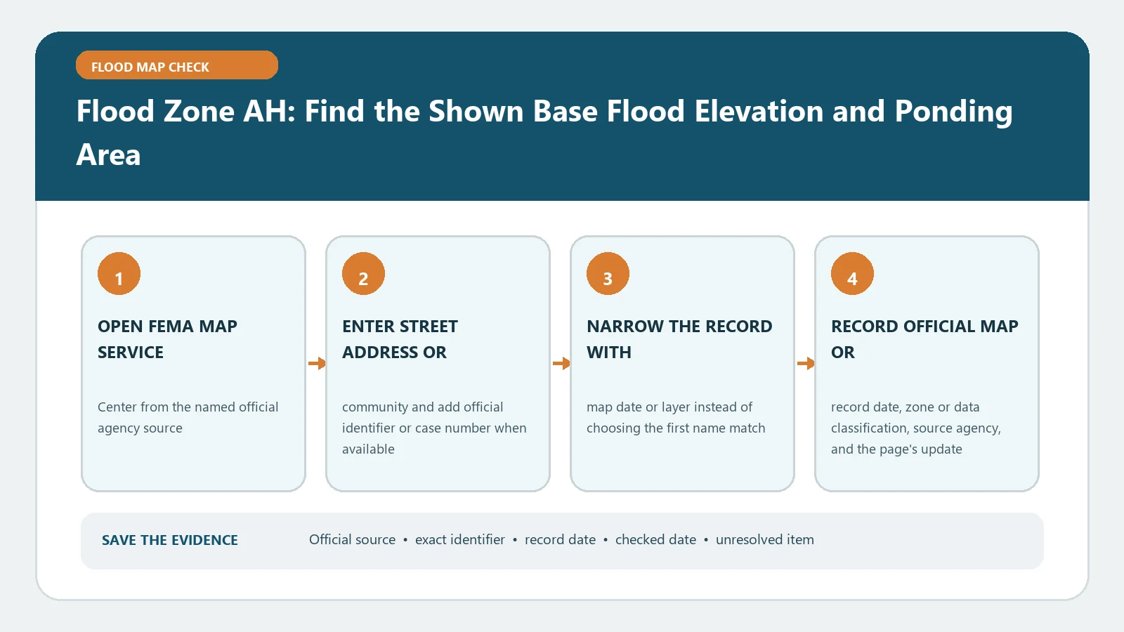
Flood Zone AH is a Special Flood Hazard Area for shallow flooding, usually ponding, where FEMA shows Base Flood Elevations rather than the average depth labels used in Zone AO. Find the correct structure on the effective FIRM, read the BFE applying at that point, and save the panel, effective date, datum, and source. The AH label alone does not state how high a particular floor sits above or below the mapped water-surface elevation.
FEMA’s Shallow Flooding Guidance describes AH as one-percent-annual-chance shallow flooding, generally one to three feet, with BFEs shown on the FIRM. FEMA’s official map-legend lesson distinguishes AH from AO, and the Map Service Center provides the effective map product. Checked August 26, 2026.
Confirm the structure is actually inside the AH polygon
Search the full address, then inspect the pin at building scale. A parcel can contain AH and another zone, while the house or proposed work lies only in one part. Verify the parcel shape, building footprint, road, water feature, and zone boundary. If the line passes close to the structure, save a scaled view and do not assign the whole parcel one label.
Record the full FIRM panel number, suffix, effective date, map status, and any relevant Letter of Map Change. Flood Zone Boundary Crosses a Parcel provides the next route when the answer depends on a particular point or structure.
Read a BFE in AH, not an AO depth
AH and AO both describe shallow flooding, but their mapped numbers work differently. In AH, FEMA’s guidance says water-surface elevations are determined and BFEs are shown. In AO, the FIRM generally shows average depths above ground. A bare number copied without the zone and legend can therefore produce the wrong unit and interpretation.
Trace the BFE label or boundary that applies to the selected location. If the point sits between labels or near a BFE transition, consult the Flood Insurance Study and local floodplain authority instead of choosing the nearer or lower number. Use Base Flood Depth vs Base Flood Elevation to keep an elevation tied to a datum separate from a depth measured above local ground.
Preserve the BFE’s source and vertical datum
Write the BFE with its unit, vertical datum, panel or FIS source, location, and checked date. Panel notes or the FIS may reference NAVD 88, NGVD 29, or another datum. The number cannot be compared safely with a survey elevation until the datums are compatible.
If a local viewer shows a design elevation, freeboard target, or advisory layer, keep it in a separate field. The title of this check is the FEMA BFE shown for Zone AH. A community can apply a higher development standard, but that does not turn the local design target into the BFE printed in the FEMA record. How to Find a Base Flood Elevation covers the panel and study search.
Join the map to the correct building measurement
An Elevation Certificate may report the top of bottom floor, next higher floor, machinery or equipment, garage slab, lowest adjacent grade, and other elevations. Select the field required for the question and name it. Do not subtract the AH BFE from whichever C2 number looks highest or most favorable.
Check the building diagram, construction stage, units, datum, and certifier comments. A crawlspace, enclosure, attached garage, or elevated building can change which physical point a reviewer treats as the lowest floor. The arithmetic should read selected building field minus AH BFE, with both values and datums visible.
That result still needs an owner. A local floodplain official applies adopted development rules. A surveyor or other authorized professional certifies elevations within state-law scope. A lender or insurer makes its own coverage decision.
Keep permit and insurance questions in separate columns
For a development check, record the local ordinance or adopted standard, the project location, design elevation or freeboard if applicable, and the building element the official will review. For an insurance or lender check, record the effective FEMA zone, formal determination, policy or loan context, and the documentation requested by that decision maker. Both columns can begin with the same AH map record without producing the same conclusion.
Do not tell a reader that a floor above the shown BFE guarantees permit approval or a particular premium. Enclosures, utilities, access, flood openings, substantial improvement, local higher standards, and the insurer’s current method can introduce other requirements. The map provides the hazard elevation input, not the final administrative decision.
If the two columns seem to conflict, preserve both requests and ask each decision maker to identify the controlling document. Do not revise the AH map finding to make the administrative answers agree.
Add ponding and drainage context without changing the map answer
Zone AH often reflects ponding, but the FIRM is not a parcel-specific drainage model or a forecast for the next storm. Look for local grading, drainage, stormwater, and emergency information when the practical question is access, yard flooding, or recent events. Keep those sources next to, not merged into, the effective FEMA finding.
An area outside AH can still flood from rainfall, blocked drainage, surface flow, or an event exceeding mapped conditions. Conversely, an AH label does not prove that every point on the parcel will have the same depth in every flood. State only what the mapped zone and BFE represent.
Work through three common map failures
If no BFE label is visible, open the downloaded panel and FIS rather than borrowing a number from a screenshot. If the address lands outside the parcel, search by coordinates and verify against official parcel data. If a local map and FEMA display conflict, compare effective dates, statuses, selected points, and incorporated map changes before contacting the floodplain office.
Save an AH evidence card containing:
- address, parcel identifier, selected structure, and boundary position;
- map panel, suffix, effective date, and any incorporated map change;
- BFE, unit, vertical datum, and FIS or panel source;
- building field used for comparison and its own datum;
- local higher standard in a separate row, source URLs, and checked date.
The card documents a reproducible map reading. It does not certify the building, predict damage, set an insurance premium, or authorize development.