Flood Zone Boundary Crosses a Parcel: Which Point or Structure Matters?
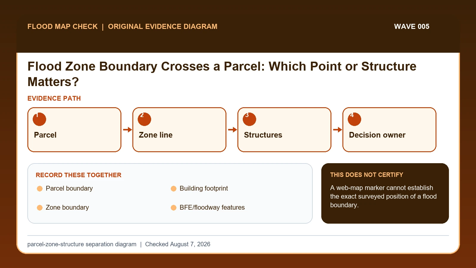
When a FEMA flood-zone boundary crosses a parcel, separate the parcel, each building footprint, and the mapped zone line.
When a FEMA flood-zone boundary crosses a parcel, separate the parcel, each building footprint, and the mapped zone line.
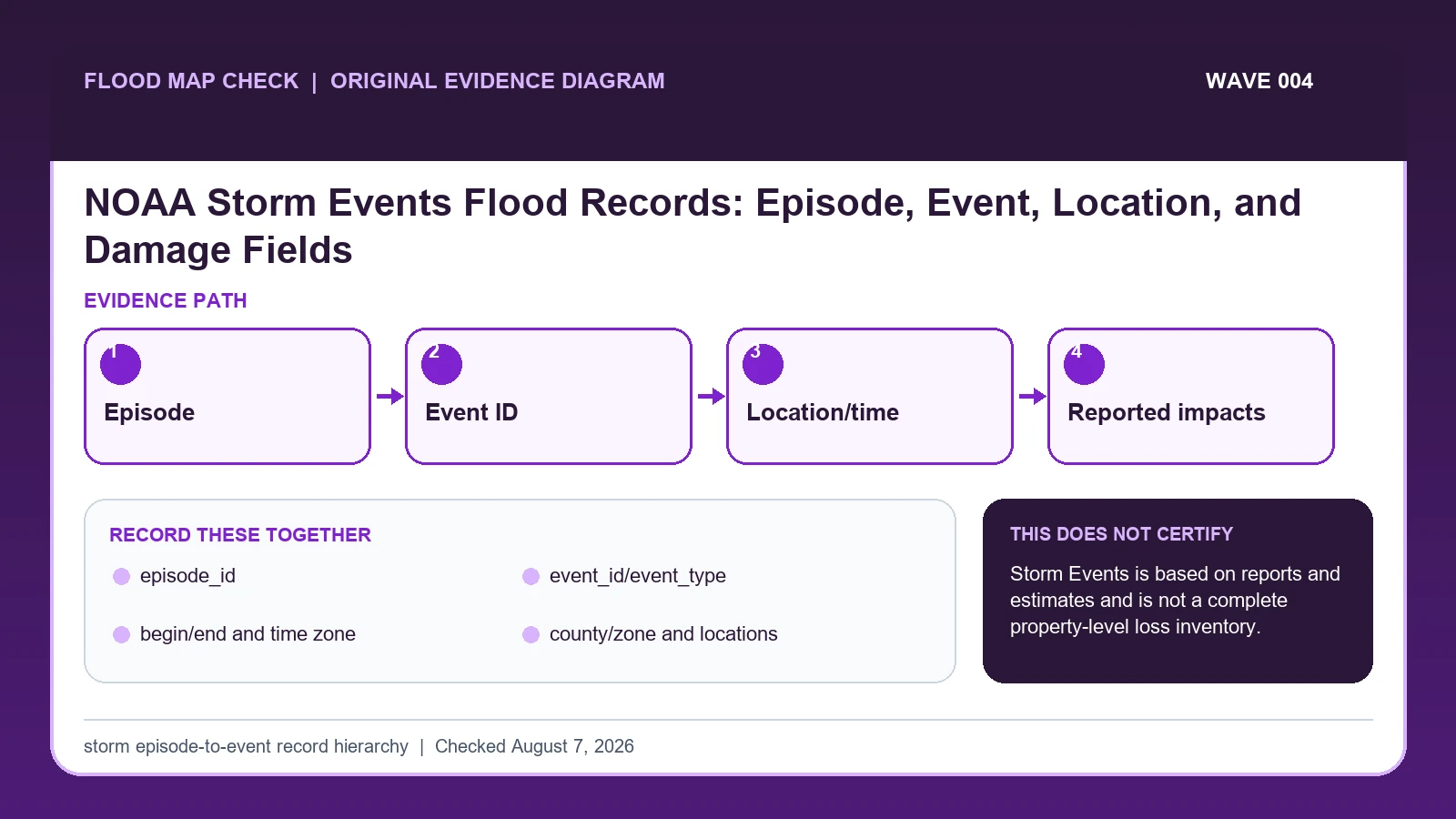
Use NOAA Storm Events episode ID to group the larger storm system and event ID to identify each reported flood, flash-flood, or related event.
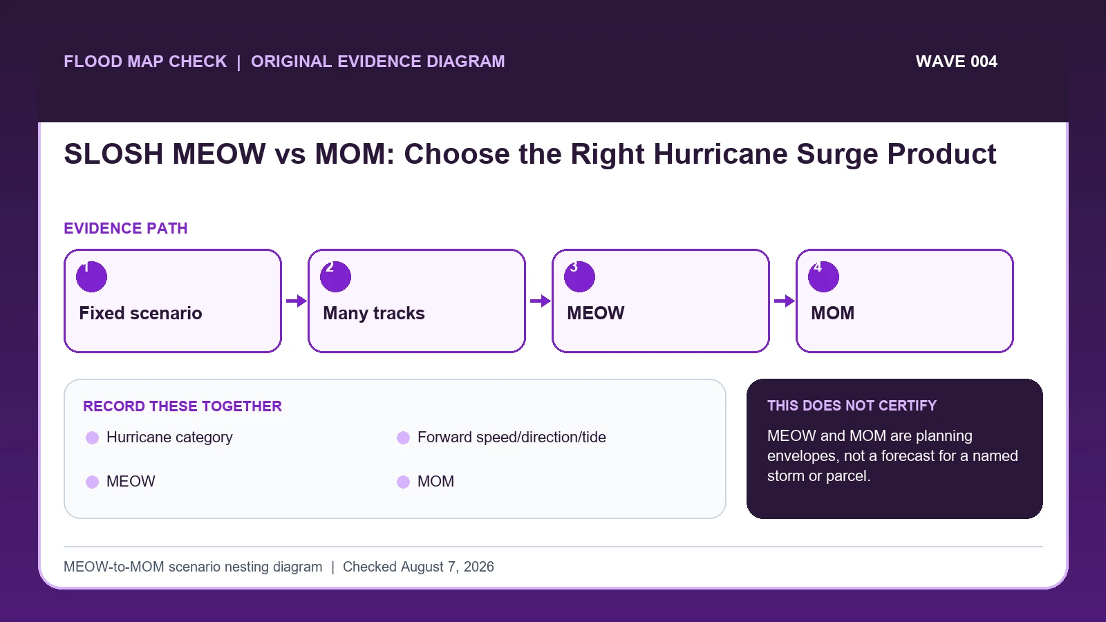
A SLOSH MEOW holds hurricane category, forward speed, direction, and tide scenario constant while compositing the maximum surge from many hypothetical tracks.
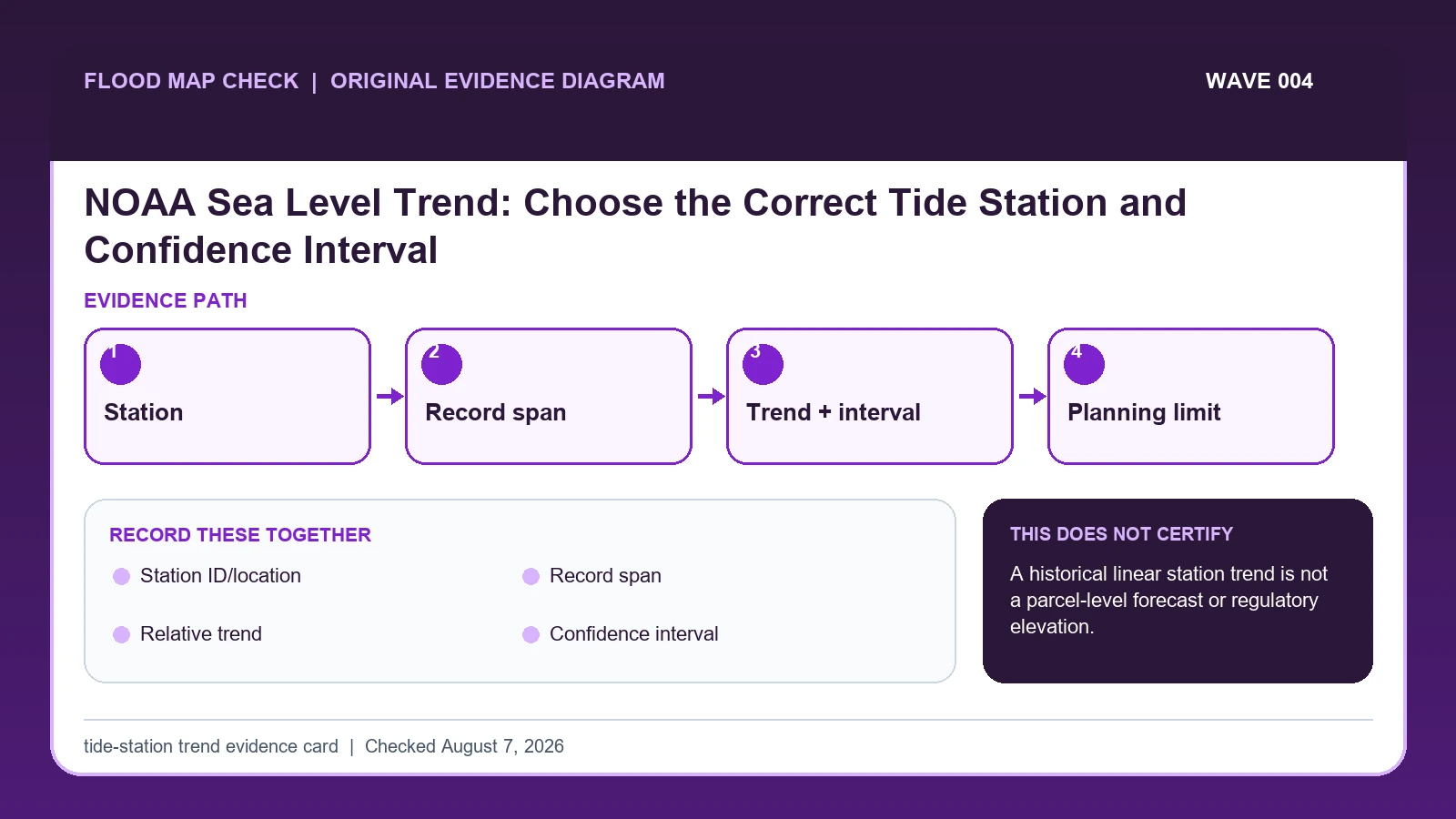
Use a NOAA relative sea-level trend only after matching the station, record span, units, confidence interval, update date, and local coastal setting.
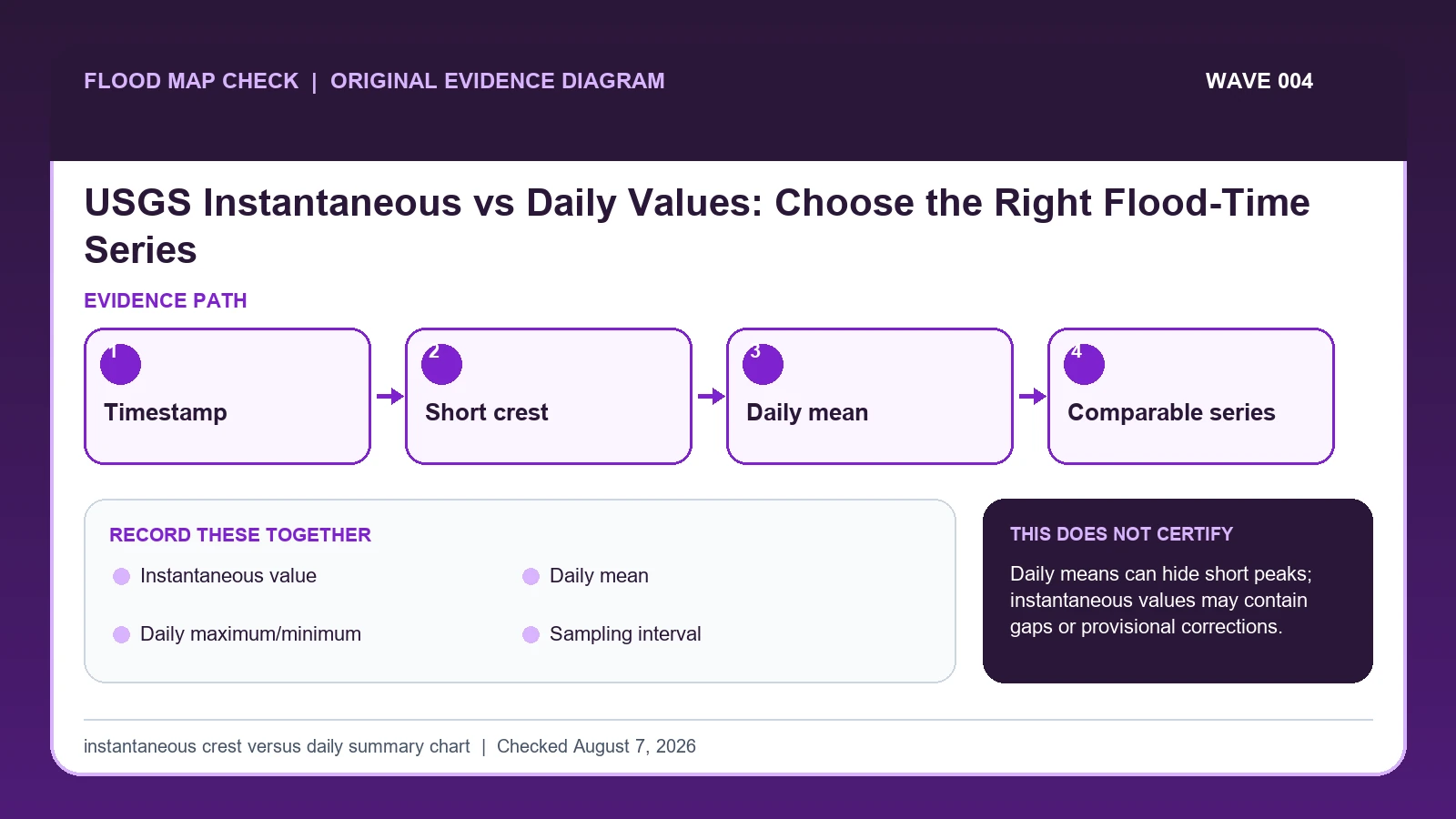
USGS instantaneous streamflow represents a reading or computed value at a specific time, while a daily value summarizes an entire day using a statistic such as daily mean.
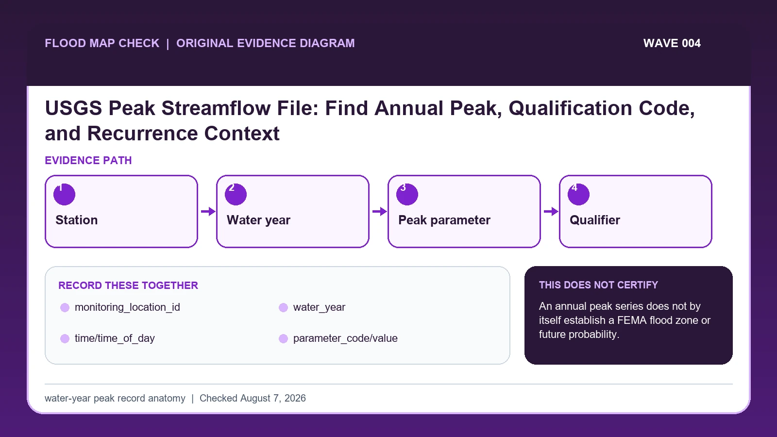
The USGS annual peak file reports the maximum instantaneous streamflow for a monitoring location in each water year, which runs from October 1 through September 30.
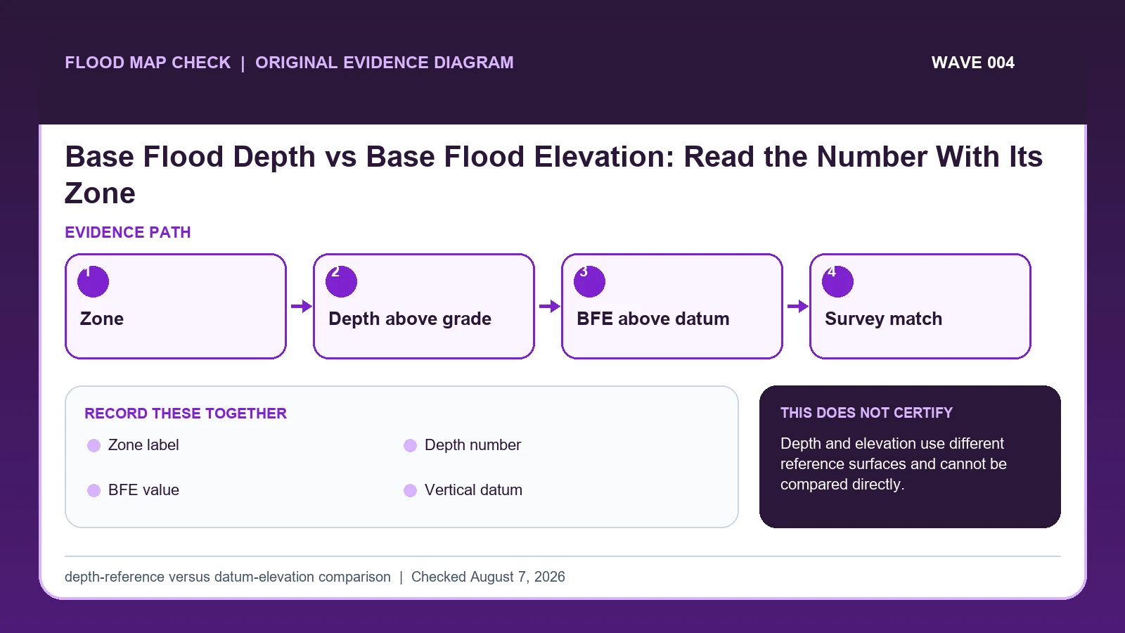
A base flood depth is a vertical distance above a local ground reference, while a Base Flood Elevation is an elevation above a named vertical datum.
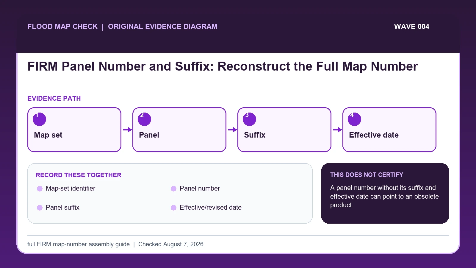
A complete FIRM panel reference combines the community or countywide map-set identifier, panel number, and current suffix, and it must be paired with the effective date.
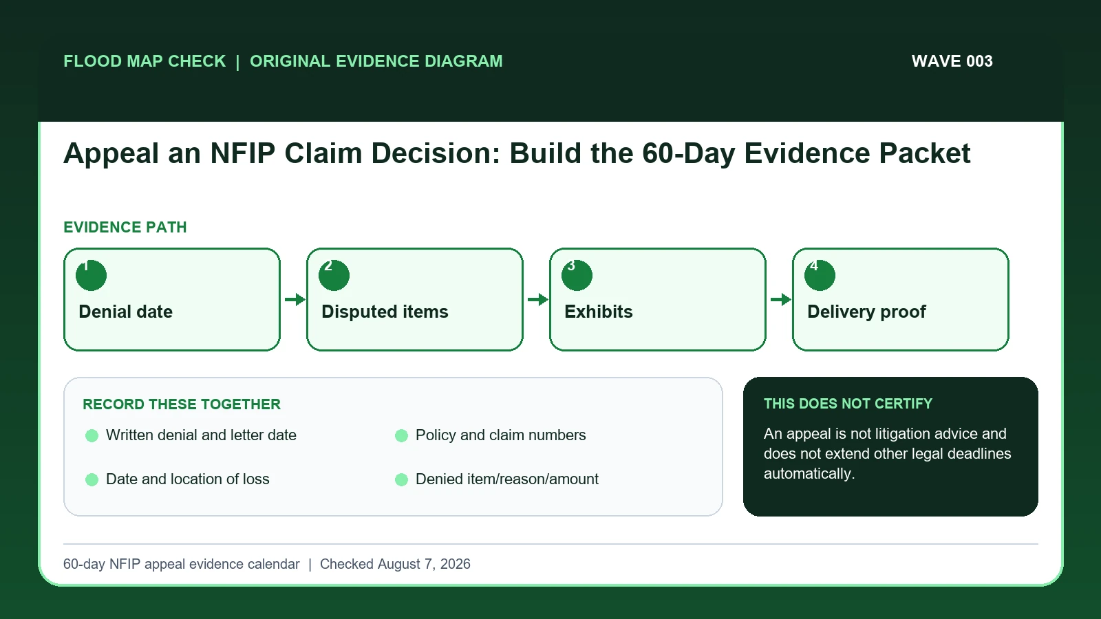
An NFIP policyholder may appeal FEMA after the insurer issues a written denial of all or part of a claim.
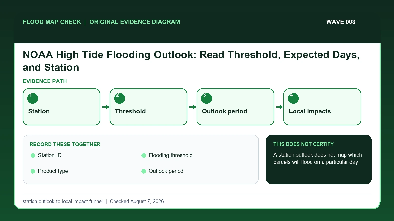
NOAA high-tide flooding outlooks estimate the number or timing of threshold exceedance days at specific tide stations.