Skip to content

Flood Map Check

  • Privacy Policy
  • About Flood Map Check
  • Contact
  • Editorial Policy

Map Explainers

Map Explainers guides.

Lowest Floor vs Lowest Adjacent Grade on a FEMA Elevation Certificate
August 25, 2026August 5, 2026 by Flood Map Check
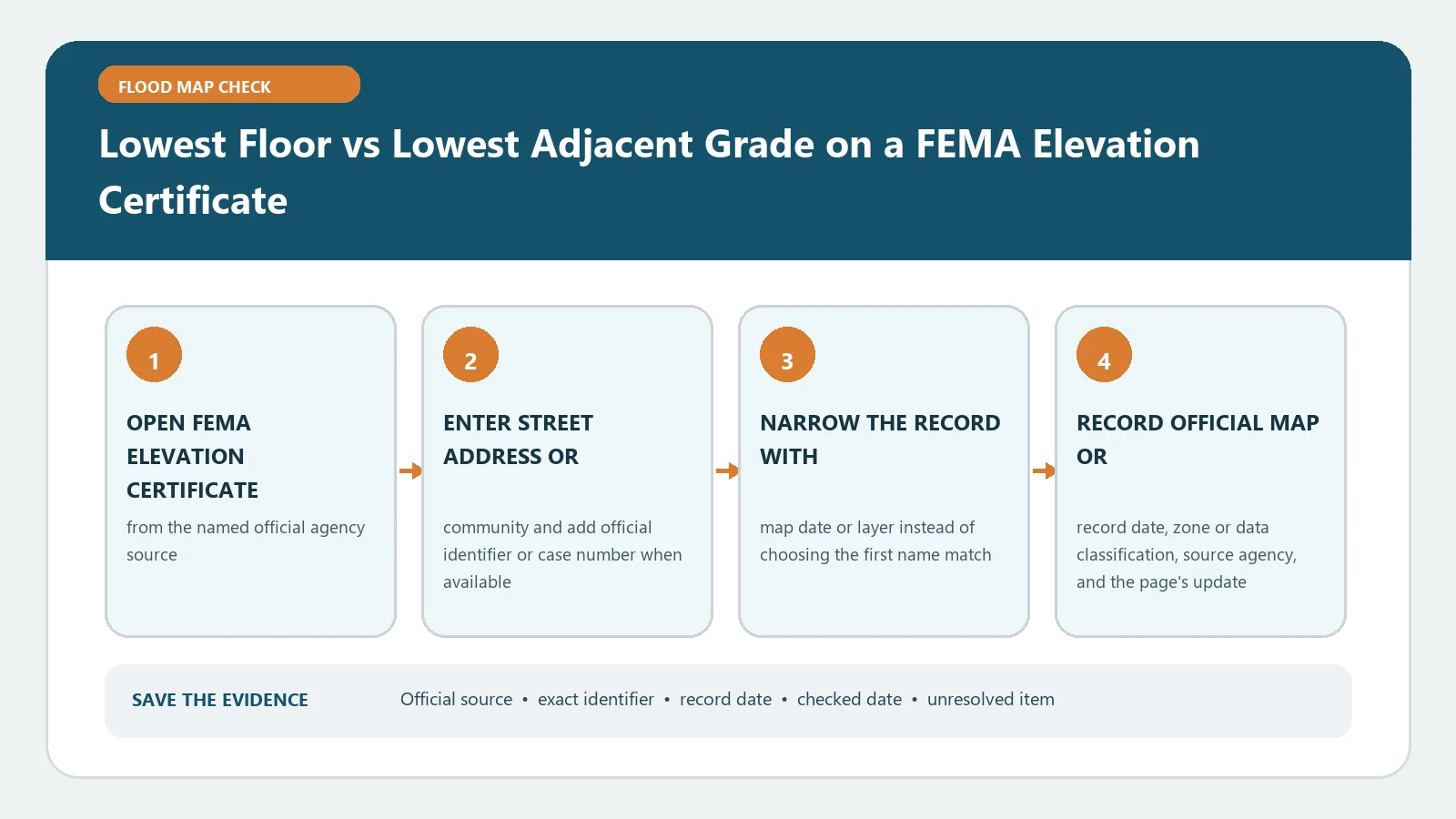
Lowest Floor vs Lowest Adjacent Grade on a FEMA Elevation Certificate verification workflow showing official source, exact identifiers, result fields, date, and escalation step

Lowest floor and lowest adjacent grade describe different Elevation Certificate measurements. Read their section labels, datum, and building diagram before using either value in a flood review.
Categories Map Explainers

NAVD 88 vs NGVD 29 on a Flood Map or Elevation Certificate

August 25, 2026August 5, 2026 by Flood Map Check
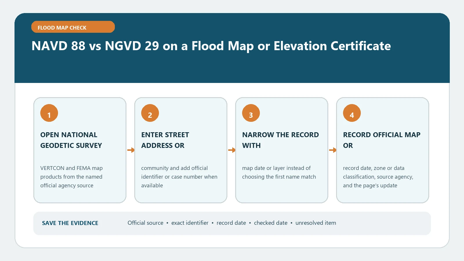
NAVD 88 vs NGVD 29 on a Flood Map or Elevation Certificate verification workflow showing official source, exact identifiers, result fields, date, and escalation step

Check whether every elevation uses NAVD 88 or NGVD 29 before comparing an Elevation Certificate with FEMA mapping. Any conversion must use the location-specific official datum tool.

Categories Map Explainers

FEMA Floodway Data Table: Match Cross Sections, BFE, and Floodway Width

August 31, 2026August 5, 2026 by Flood Map Check
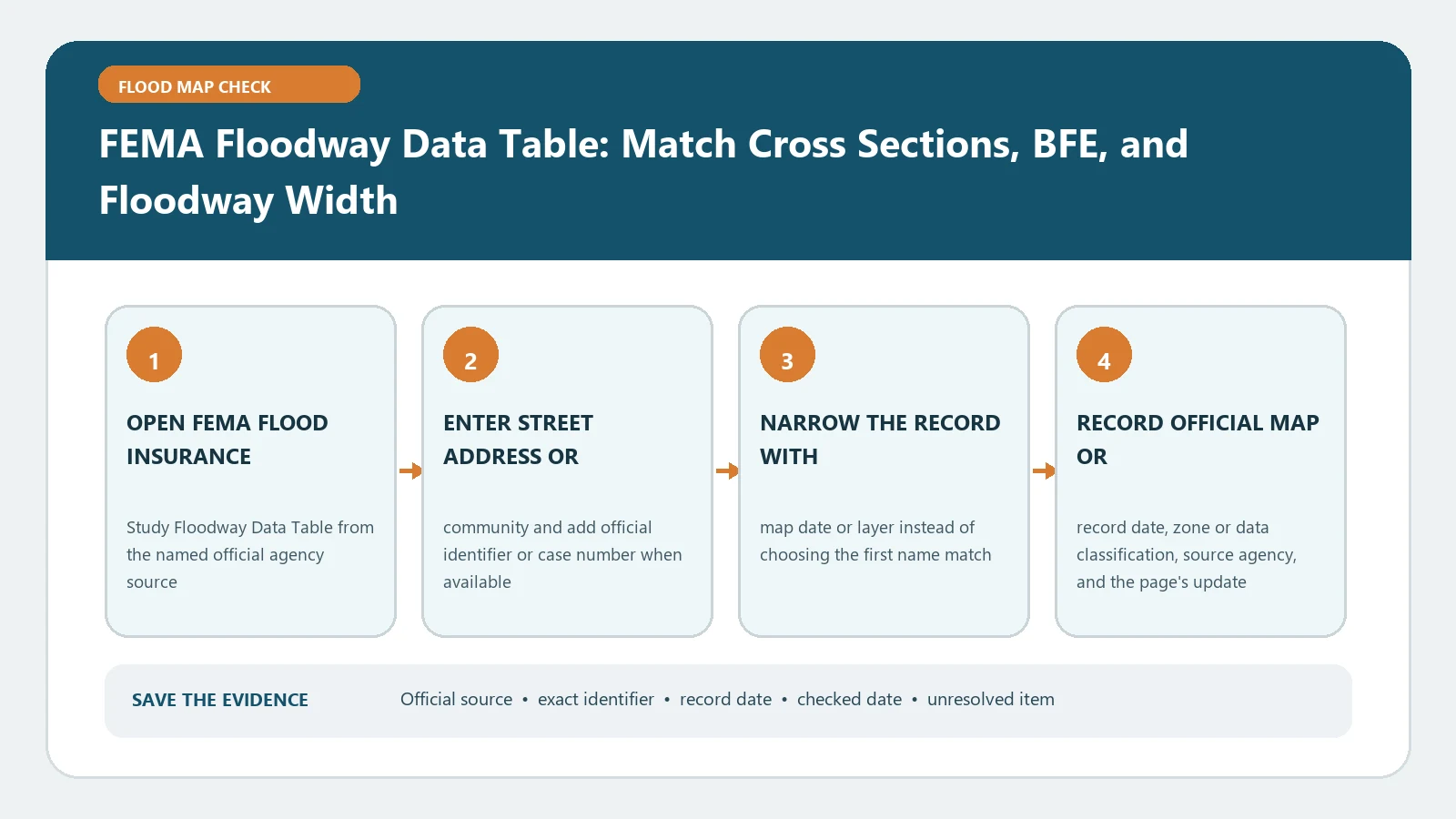
FEMA Floodway Data Table: Match Cross Sections, BFE, and Floodway Width verification workflow showing official source, exact identifiers, result fields, date, and escalation step

Match each floodway table row to its stream and cross section before reading BFE, width, discharge, or surcharge. Do not transfer values from a neighboring station to the parcel.

Categories Map Explainers

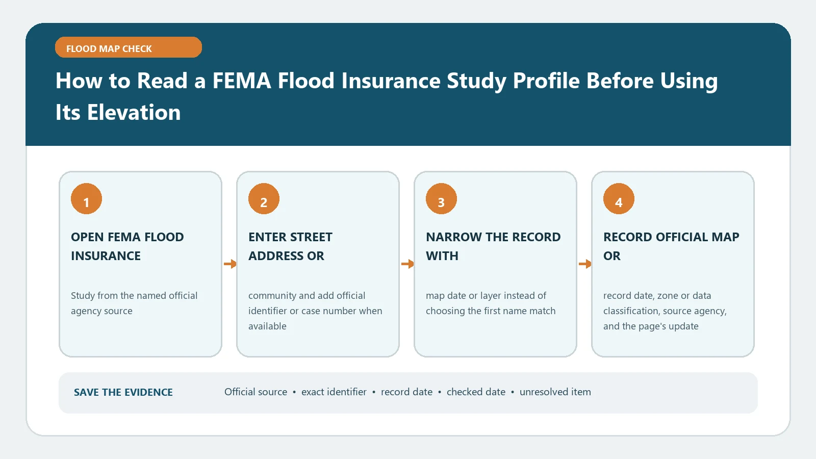
How to Read a FEMA Flood Insurance Study Profile Before Using Its Elevation

August 31, 2026August 5, 2026 by Flood Map Check
How to Read a FEMA Flood Insurance Study Profile Before Using Its Elevation verification workflow showing official source, exact identifiers, result fields, date, and escalation step

Read a FIS flood profile only after matching the stream, cross-section stations, vertical datum, and map edition. The graphed elevation is not automatically a building’s finished-floor height.

Categories Map Explainers

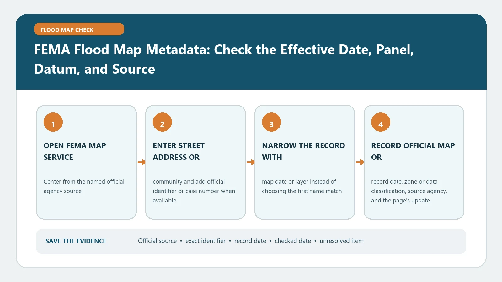
FEMA Flood Map Metadata: Check the Effective Date, Panel, Datum, and Source

August 25, 2026August 5, 2026 by Flood Map Check
FEMA Flood Map Metadata: Check the Effective Date, Panel, Datum, and Source verification workflow showing official source, exact identifiers, result fields, date, and escalation step

When saving FEMA map evidence, capture the community and panel number, suffix, effective date, vertical datum, and source product. A colored screen without those metadata fields is incomplete.

Categories Map Explainers

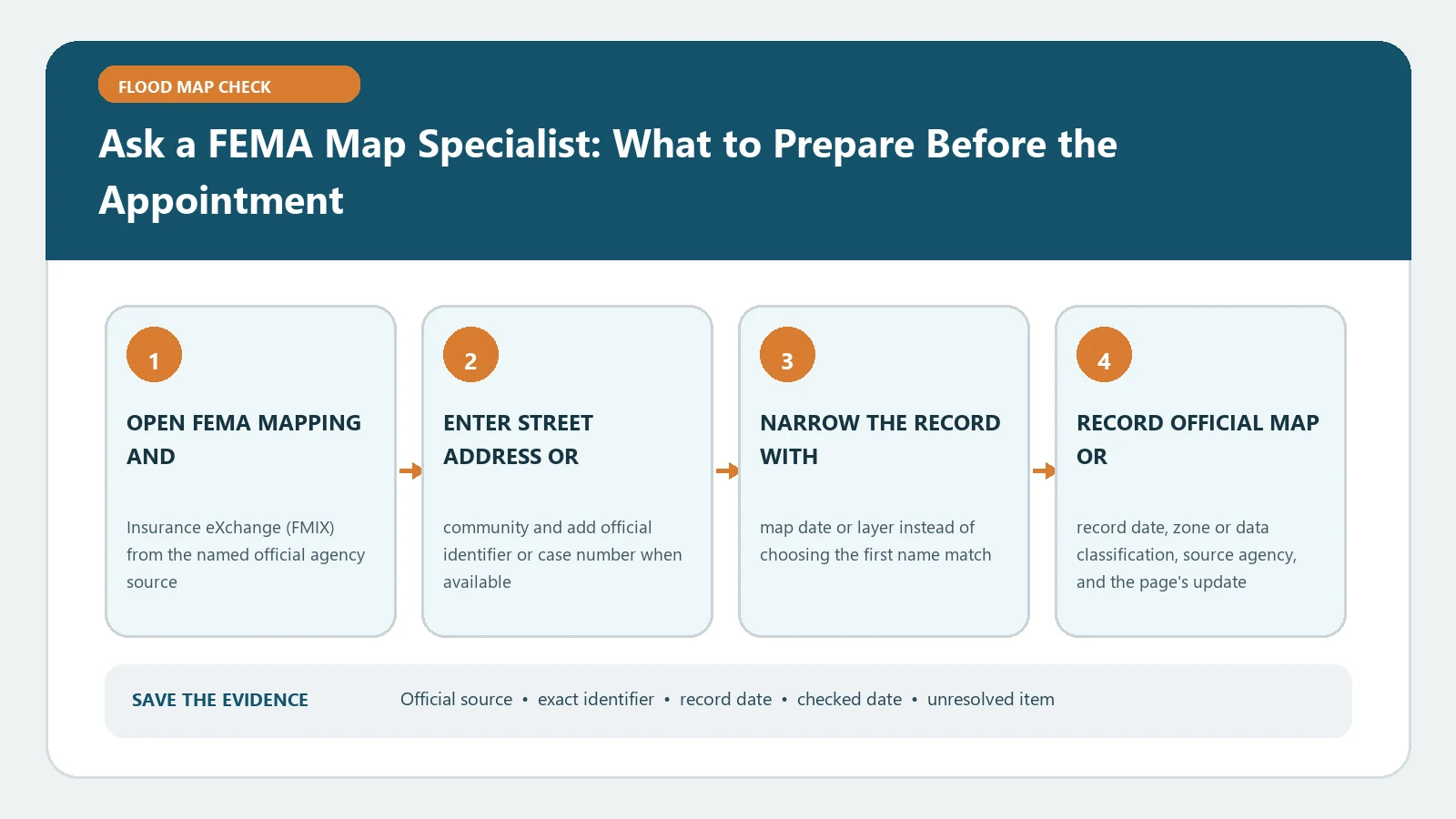
Ask a FEMA Map Specialist: What to Prepare Before the Appointment

August 31, 2026August 5, 2026 by Flood Map Check
Ask a FEMA Map Specialist: What to Prepare Before the Appointment verification workflow showing official source, exact identifiers, result fields, date, and escalation step

Bring the full address, FIRM panel, effective date, map screenshot, and specific question to an FMIX appointment. A specialist can explain sources but does not issue an insurance quote or permit.

Categories Map Explainers

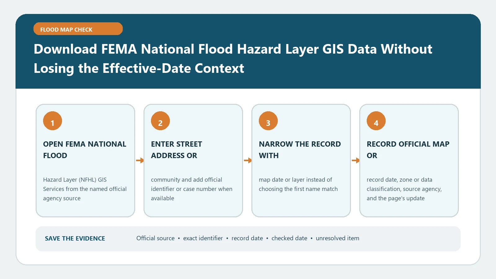
Download FEMA National Flood Hazard Layer GIS Data Without Losing the Effective-Date Context

August 31, 2026August 5, 2026 by Flood Map Check
Download FEMA National Flood Hazard Layer GIS Data Without Losing the Effective-Date Context verification workflow showing official source, exact identifiers, result fields, date, and escalation step

Before exporting NFHL GIS layers, record the dataset service, effective FIRM context, panel identifiers, and download date. An extract cannot replace a parcel survey or local permitting review.

Categories Map Explainers

FEMA Flood Vent Requirements: How to Check Openings Below the BFE

August 23, 2026July 28, 2026 by Flood Map Check
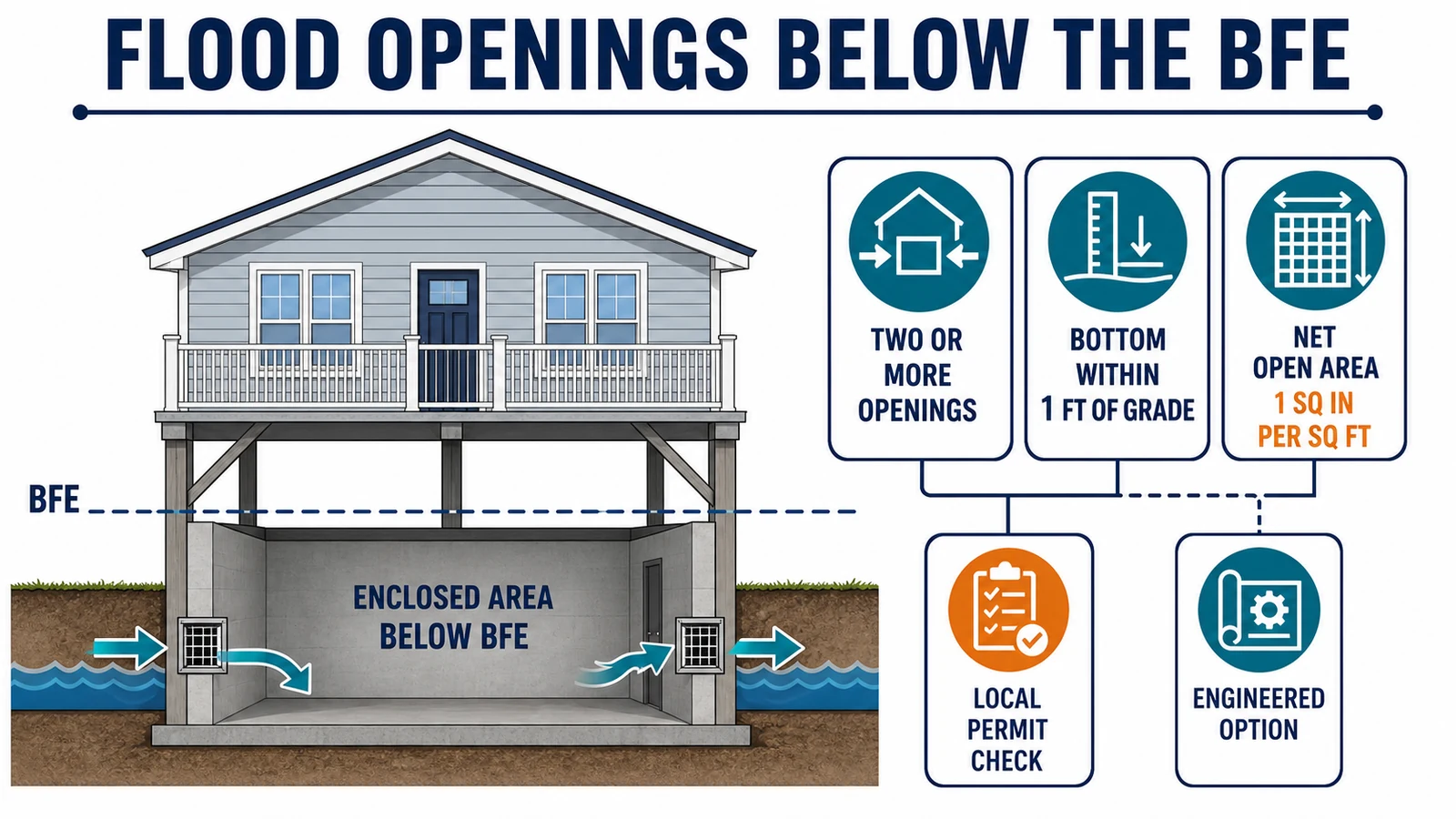
Building cross-section showing an enclosure below the BFE with two opposing flood openings, net open area, opening-height, engineered-option, and local-permit checks

Check FEMA flood-opening area, height, placement, engineered certification, enclosure-use, and local permit requirements before installation.

Categories Map Explainers

Floodplain Development Permit and No-Rise Certificate: What to Check Before Building

August 5, 2026July 28, 2026 by Flood Map Check
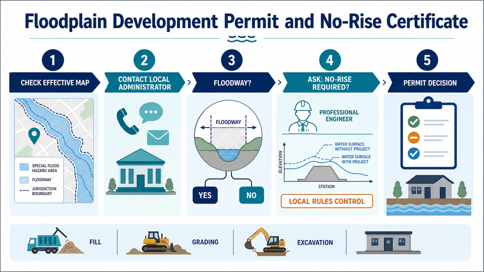
Five-step workflow to check the effective map, contact the local floodplain administrator, identify a floodway, ask whether no-rise analysis is required, and obtain a permit decision

Check when a floodplain development permit or no-rise analysis may be required, who decides, what evidence to prepare, and when a CLOMR may be the next step.

Categories Map Explainers

FEMA Letter of Determination Review: Dispute a Lender Flood-Zone Decision

July 31, 2026July 27, 2026 by Flood Map Check
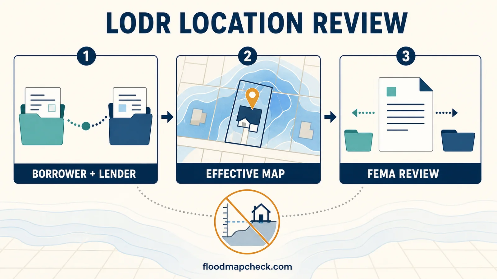
Three-step LODR location review diagram showing borrower and lender documents, a building on the effective map, FEMA review, and elevation excluded

Use a FEMA LODR only for a joint borrower-lender dispute about where the building sits on the effective map. Check the 45-day filing rule, package, and next steps.

Categories Map Explainers
Older posts
Newer posts
← Previous Page1 Page2 Page3 Page4 Next →

Recent Posts

  • Sarasota County Flood Zone and Elevation Certificate Search
  • Charlotte County FL Elevation Certificate Search
  • Palm Beach County Flood Zone and Elevation Certificate Search
  • Collier County Flood Map and Elevation Certificate Search
  • Disaster Declaration Incident Type vs Assistance Programs: Filter Flood Events Correctly

Recent Comments

No comments to show.
© 2026 Flood Map Check • Built with GeneratePress