Skip to content

Flood Map Check

  • Privacy Policy
  • About Flood Map Check
  • Contact
  • Editorial Policy

Fema Flood Maps

Fema Flood Maps guides.

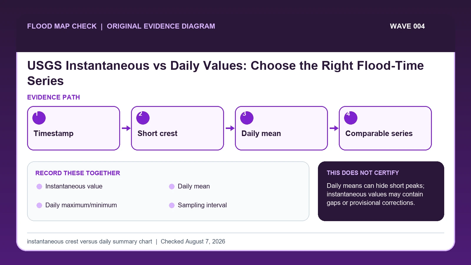
USGS Instantaneous vs Daily Values: Choose the Right Flood-Time Series
August 6, 2026 by Flood Map Check
Original evidence workflow for USGS instantaneous vs daily streamflow showing Timestamp, Short crest, Daily mean, Comparable series

USGS instantaneous streamflow represents a reading or computed value at a specific time, while a daily value summarizes an entire day using a statistic such as daily mean.
Categories Fema Flood Maps

USGS Peak Streamflow File: Find Annual Peak, Qualification Code, and Recurrence Context

August 6, 2026 by Flood Map Check
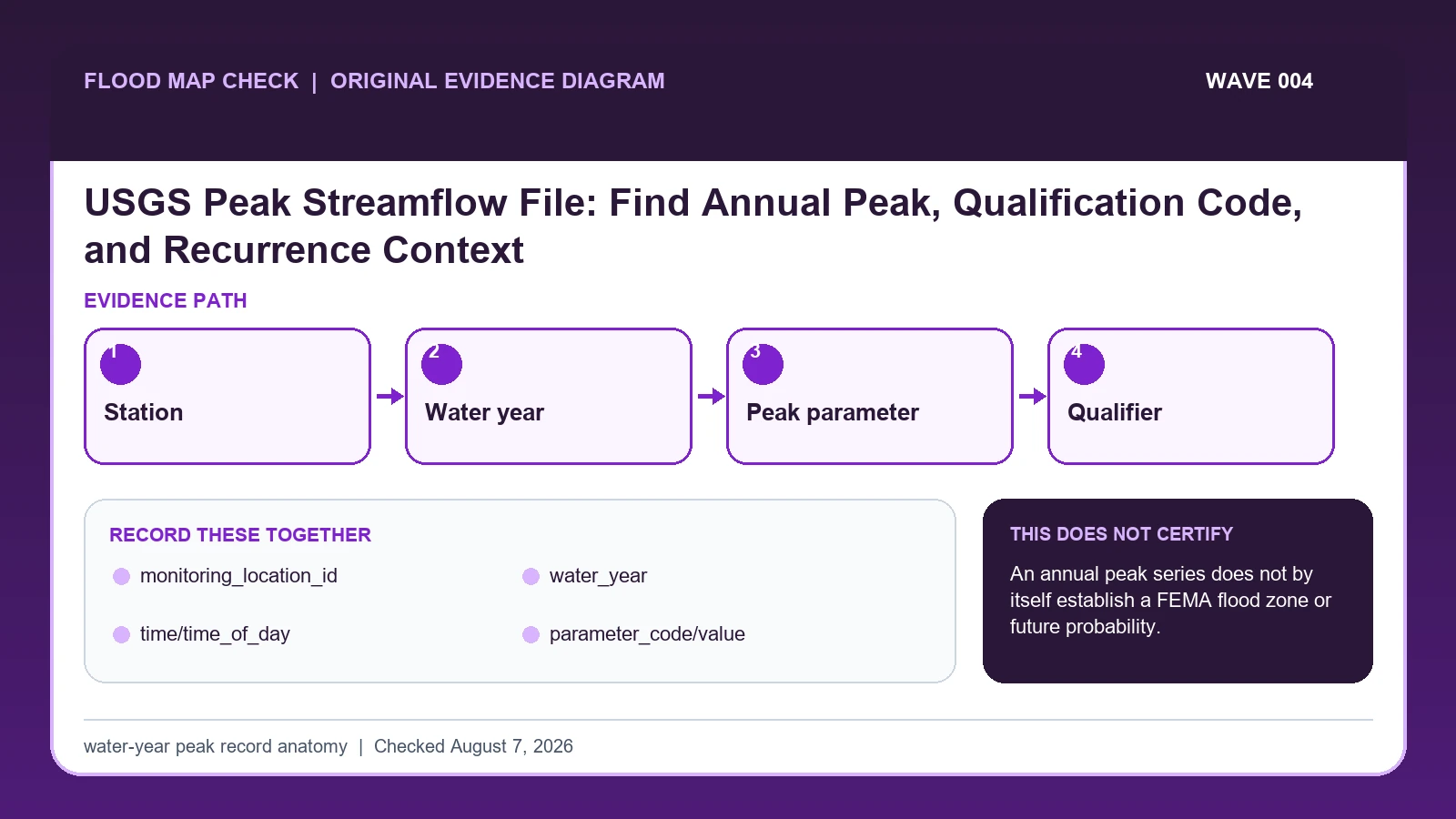
Original evidence workflow for USGS peak streamflow data showing Station, Water year, Peak parameter, Qualifier

The USGS annual peak file reports the maximum instantaneous streamflow for a monitoring location in each water year, which runs from October 1 through September 30.

Categories Fema Flood Maps

Base Flood Depth vs Base Flood Elevation: Read the Number With Its Zone

August 6, 2026 by Flood Map Check
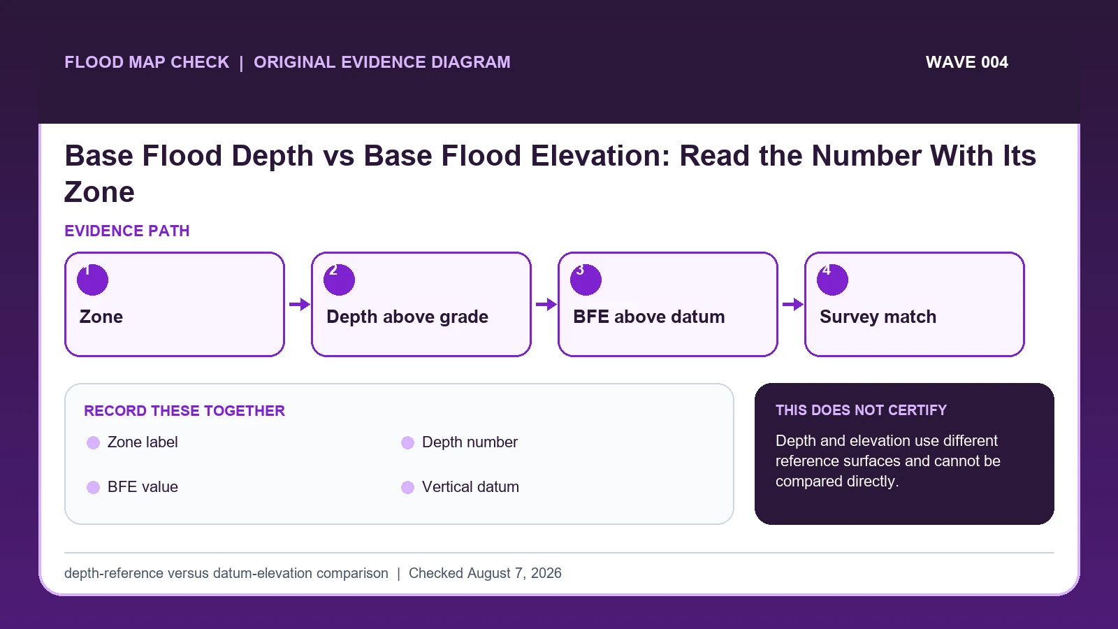
Original evidence workflow for base flood depth vs elevation showing Zone, Depth above grade, BFE above datum, Survey match

A base flood depth is a vertical distance above a local ground reference, while a Base Flood Elevation is an elevation above a named vertical datum.

Categories Fema Flood Maps

FIRM Panel Number and Suffix: Reconstruct the Full Map Number

August 6, 2026 by Flood Map Check
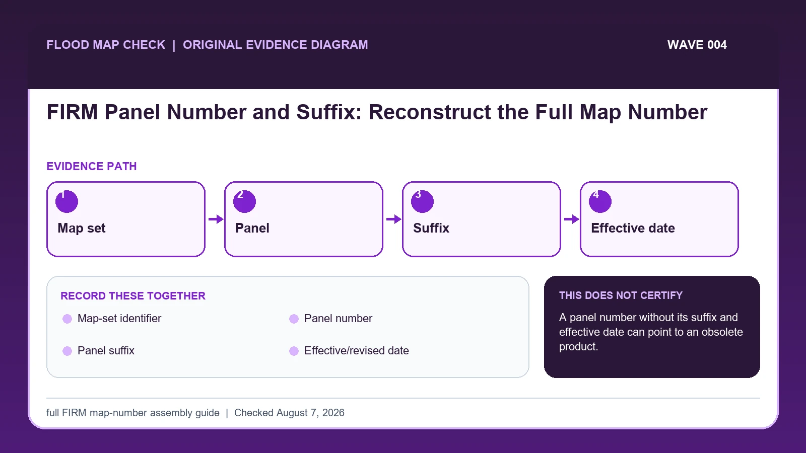
Original evidence workflow for FIRM panel number suffix showing Map set, Panel, Suffix, Effective date

A complete FIRM panel reference combines the community or countywide map-set identifier, panel number, and current suffix, and it must be paired with the effective date.

Categories Fema Flood Maps

Appeal an NFIP Claim Decision: Build the 60-Day Evidence Packet

August 6, 2026 by Flood Map Check
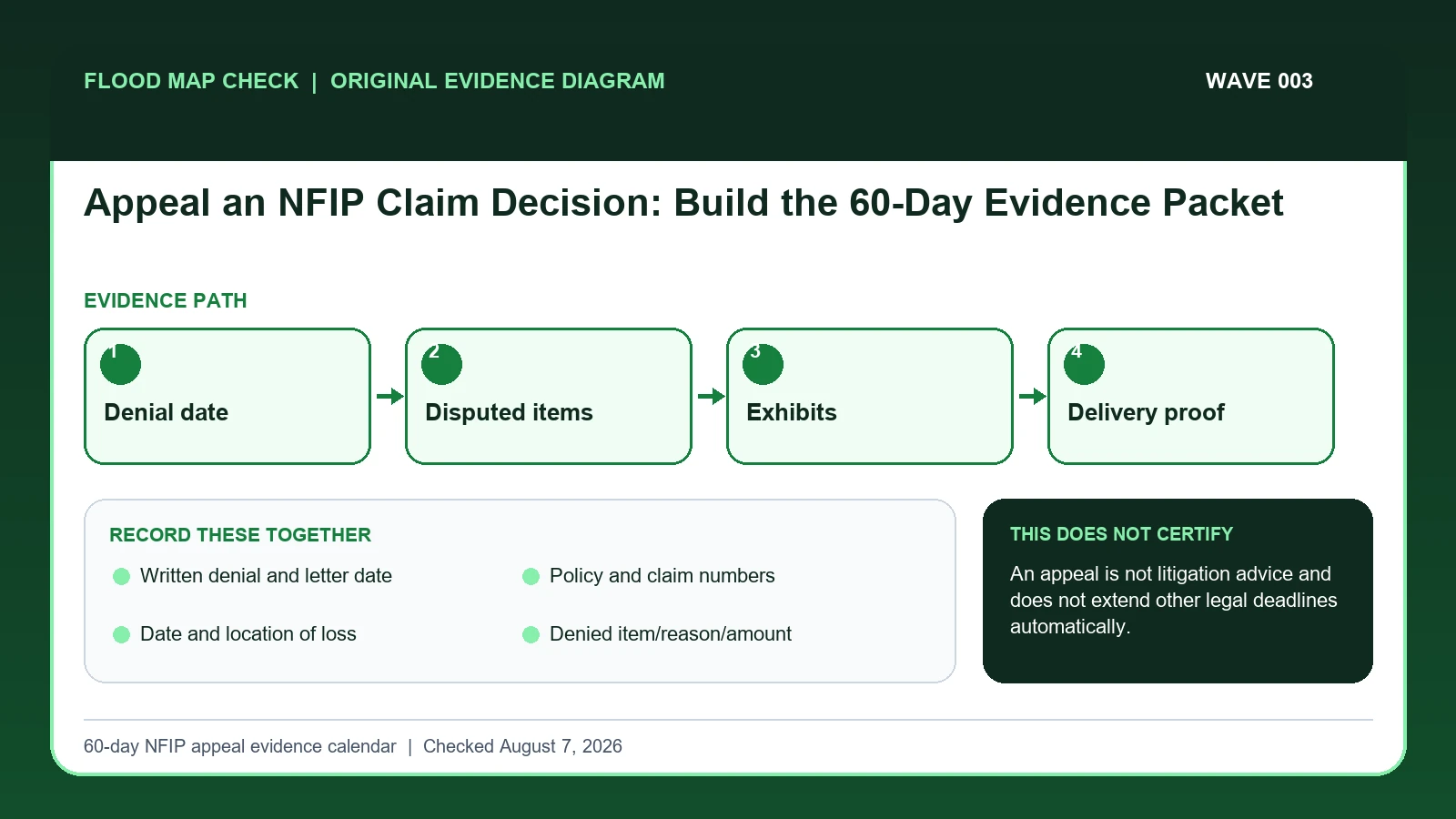
Original evidence workflow for NFIP claim appeal showing Denial date, Disputed items, Exhibits, Delivery proof

An NFIP policyholder may appeal FEMA after the insurer issues a written denial of all or part of a claim.

Categories Fema Flood Maps

NOAA High Tide Flooding Outlook: Read Threshold, Expected Days, and Station

August 6, 2026 by Flood Map Check
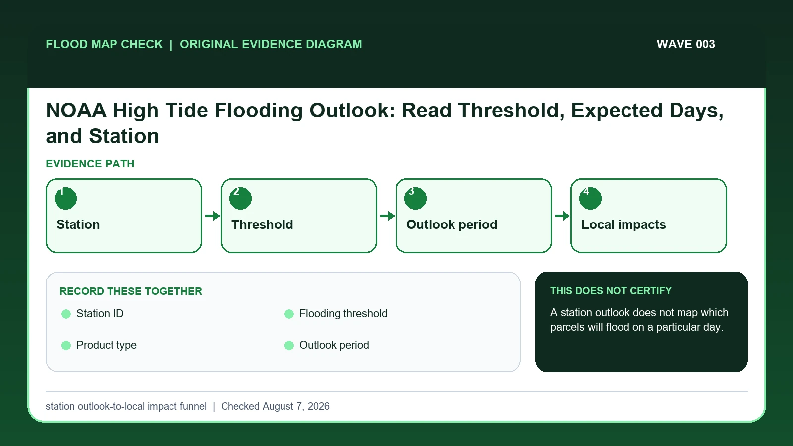
Original evidence workflow for NOAA high tide flooding outlook showing Station, Threshold, Outlook period, Local impacts

NOAA high-tide flooding outlooks estimate the number or timing of threshold exceedance days at specific tide stations.

Categories Fema Flood Maps

USGS Provisional Water Data: Read Approval Status and Qualification Codes

August 6, 2026 by Flood Map Check
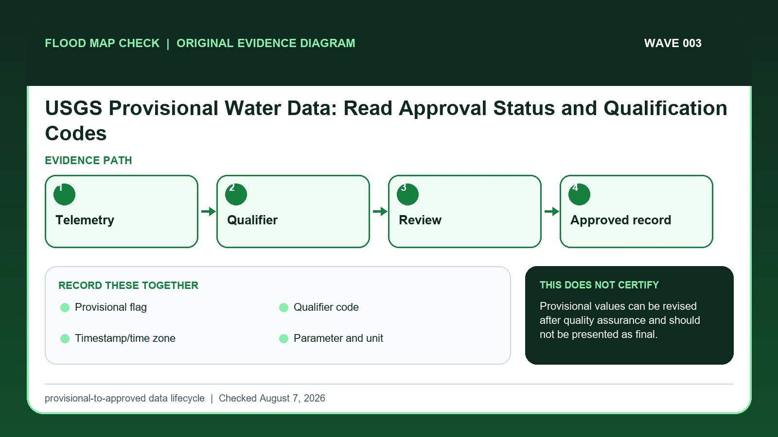
Original evidence workflow for USGS provisional water data showing Telemetry, Qualifier, Review, Approved record

Treat every USGS provisional water value as a dated observation that can change after station, rating, datum, qualifier, and approval review.

Categories Fema Flood Maps

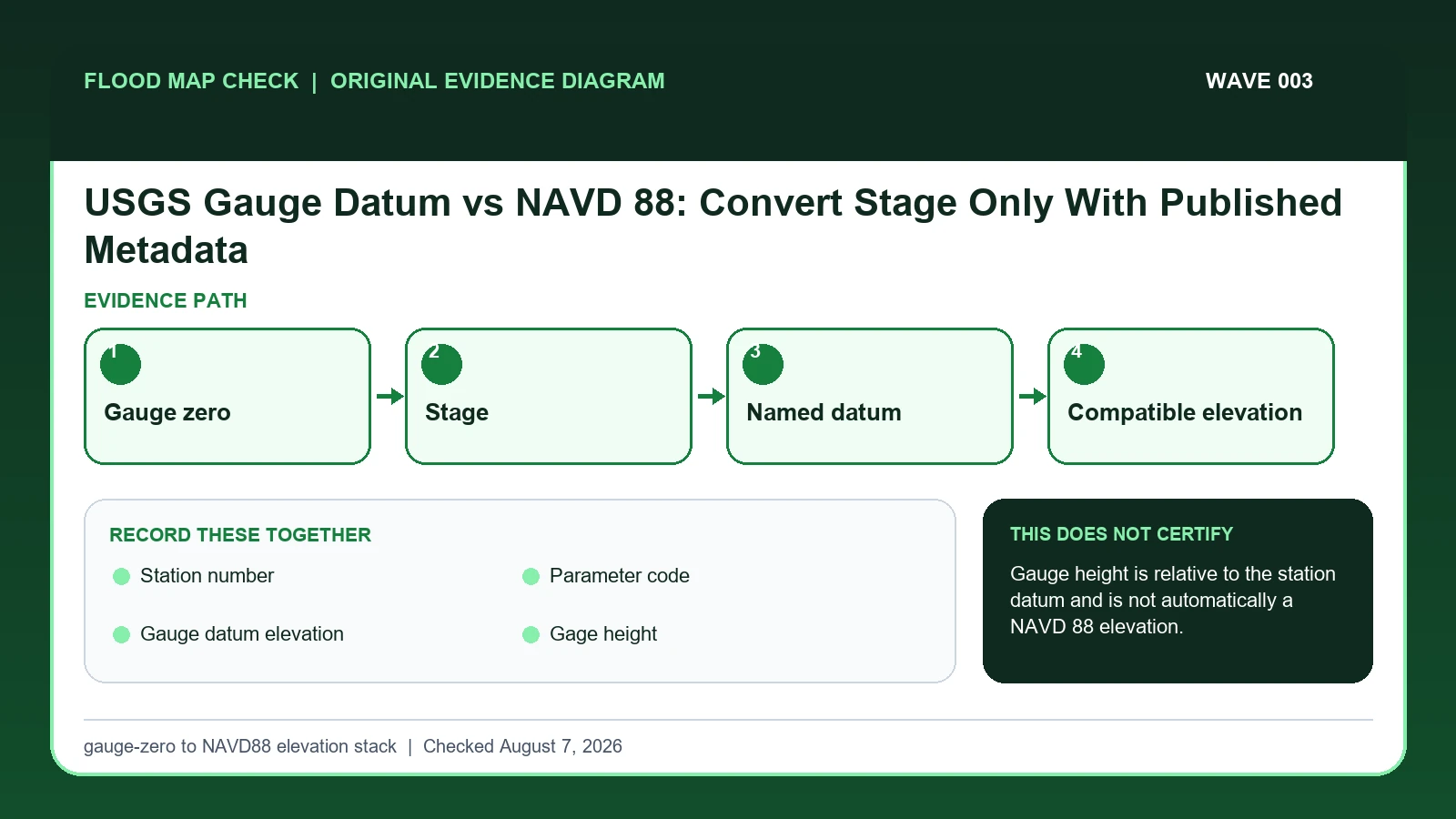
USGS Gauge Datum vs NAVD 88: Convert Stage Only With Published Metadata

August 6, 2026 by Flood Map Check
Original evidence workflow for USGS gauge datum NAVD 88 showing Gauge zero, Stage, Named datum, Compatible elevation

A USGS gauge height is normally measured above the station’s local gauge datum, not directly above NAVD 88.

Categories Fema Flood Maps

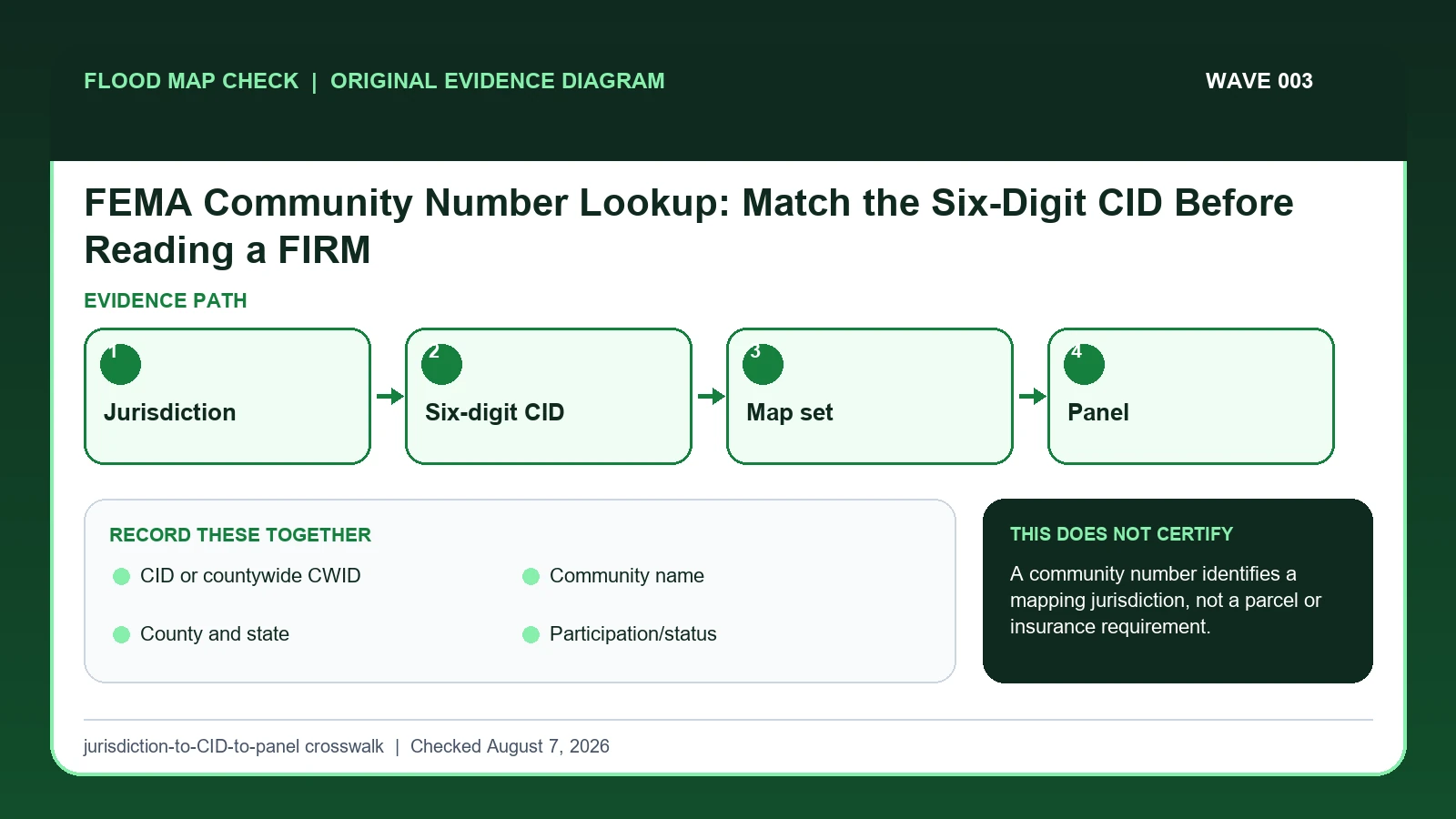
FEMA Community Number Lookup: Match the Six-Digit CID Before Reading a FIRM

August 6, 2026 by Flood Map Check
Original evidence workflow for FEMA community number lookup showing Jurisdiction, Six-digit CID, Map set, Panel

Use the FEMA CID or countywide CWID to identify the correct mapped jurisdiction and map set before selecting a FIRM panel for a property.

Categories Fema Flood Maps

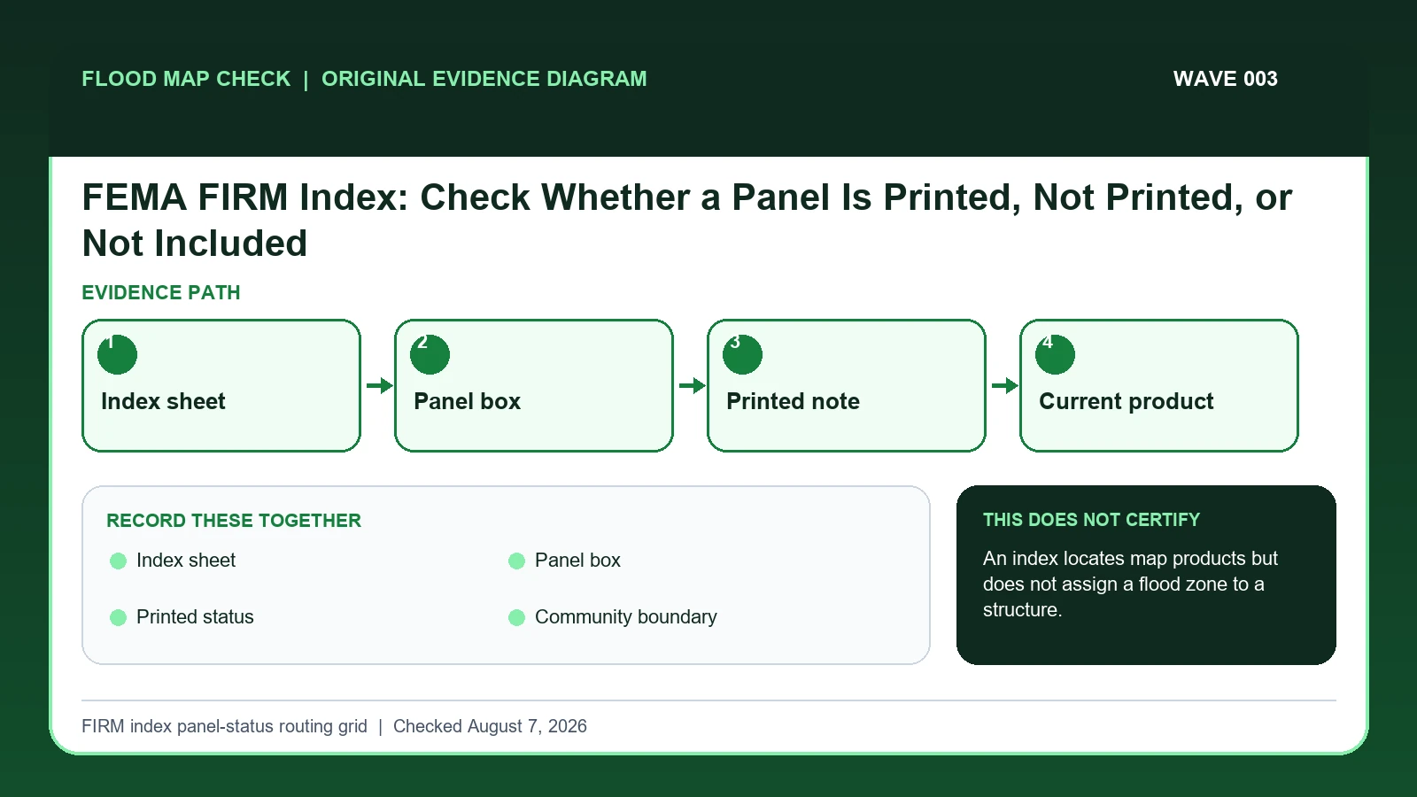
FEMA FIRM Index: Check Whether a Panel Is Printed, Not Printed, or Not Included

August 6, 2026 by Flood Map Check
Original evidence workflow for FEMA FIRM index panel status showing Index sheet, Panel box, Printed note, Current product

Use the FIRM Index to identify which numbered panel should cover a location and whether that panel is printed, not printed, or outside the mapped set.

Categories Fema Flood Maps
Older posts
Newer posts
← Previous Page1 Page2 Page3 … Page7 Next →

Recent Posts

  • Sarasota County Flood Zone and Elevation Certificate Search
  • Charlotte County FL Elevation Certificate Search
  • Palm Beach County Flood Zone and Elevation Certificate Search
  • Collier County Flood Map and Elevation Certificate Search
  • Disaster Declaration Incident Type vs Assistance Programs: Filter Flood Events Correctly

Recent Comments

No comments to show.
© 2026 Flood Map Check • Built with GeneratePress