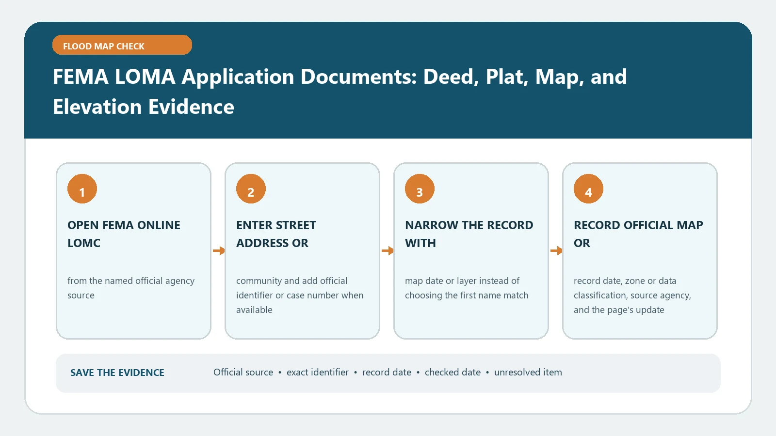
A LOMA document package must prove three different things: legal property identity, the property’s location on the effective FEMA map, and the controlling natural-ground or structure elevation. A deed alone proves none of the elevation facts. An Elevation Certificate alone may not show the recorded parcel. Assemble the package around the exact amendment request before opening the application.
FEMA’s paper LOMC forms page distinguishes MT-EZ, MT-1, and MT-2 uses. The MT-EZ instructions list the identity, map, and elevation evidence for a single residential lot or structure amendment. Checked August 26, 2026. Reopen the live form route because packages, submission paths, and requested evidence can change.
Confirm that LOMA is the right map action
A LOMA addresses property or a structure on natural grade that FEMA determines is not inundated by the base flood even though it is shown in the Special Flood Hazard Area. If fill was placed to elevate the land, a LOMR-F path may apply. A project that changes flood elevations, floodplain boundaries, or the regulatory floodway can require a different revision route.
Write down whether the request covers one existing structure, the whole legally recorded parcel, or a certified portion described by metes and bounds. Then use MT-EZ vs MT-1 and FEMA LOMA and LOMR-F Lookup to keep the form choice and desired outcome separate. Do not force a fill case into a natural-grade checklist.
Build the legal identity layer
Obtain a recorded subdivision plat showing recording data and the recorder’s stamp, or a recorded deed with recording data and stamp plus a tax assessor or other suitable location map. If both are available, keep both. Confirm that owner name differences, parcel splits, lot combinations, and later deeds do not break the chain to the property in the application.
For a request covering only part of a property, obtain the certified metes-and-bounds description and a map showing that area. Do not highlight an informal sketch and call it a legal description. Put the parcel number, lot and block, subdivision, instrument number, and street address into one crosswalk so reviewers can reconcile each document.
Plot the property on the effective FIRM
Retrieve the effective FIRM panel from the FEMA Map Service Center, including its title block. Preserve the complete panel number, suffix, effective date, community, zone, and any BFE or floodway information. Plot the property and structure accurately enough that the location can be related to streets, watercourses, and the mapped flood boundary.
The MT-EZ instructions allow a FIRMette in place of a photocopy of the panel in appropriate cases. A screenshot cropped away from the title block is weaker because it loses edition and community identity. If a recent LOMC or map revision affects the location, keep its case number and letter with the effective-panel exhibit rather than silently redrawing the boundary.
Create a survey evidence schedule
The needed elevation evidence depends on the request and zone. Assign each observation to its source and certifier. The schedule should include:
- lowest adjacent grade for a structure request;
- lowest lot elevation for a parcel request;
- BFE source, value, unit, and vertical datum;
- surveyed point description and horizontal location;
- benchmark or control reference and the building or parcel feature measured;
- completed Elevation Form or other form component required by the selected package;
- certified metes and bounds when only a portion is requested.
Do not compare elevations until the datums are compatible. If no authoritative BFE is available, follow the form instructions for the supporting analysis rather than inventing a value from a nearby contour.
Run a document-to-form crosscheck
Before submission, compare every application field with the attachments. The owner name and address should trace to the deed or plat. The legal description should point to the same parcel plotted on the map. The panel number and effective date should match the attached title block. Survey values should match the signed elevation document, including units and datum. The request type should match the selected form package and the stated history of fill.
Create a one-page index with filename, issuer, recording or signature date, page count, and the application field each file supports. Keep legible copies rather than originals where FEMA instructions say not to submit original recorded documents.
Submit as one traceable case
FEMA offers Online LOMC as well as the paper routes described on its form page. Keep the exact files uploaded or mailed, confirmation or tracking number, submission date, and later FEMA case number. A successful upload proves delivery, not technical sufficiency or approval.
Use FEMA LOMC Case Status to separate completeness review, requests for data or fees, technical review, and letter issuance. Do not cancel required insurance or alter a permit conclusion while an application is merely pending.
Before transmission, ask a second reader to reproduce the property from the deed or plat, locate it on the attached effective panel, and find every elevation used in the request. That reader should be able to move from application field to filename and source page without relying on the preparer’s memory. Record any unreadable stamp, missing seal, cropped title block, inconsistent address, or unsigned survey page as a stop item. This short replication pass catches packaging failures without pretending to predict FEMA’s technical determination.
Repair a data request without rebuilding blindly
When FEMA asks for more information, map each requested item to the missing or inconsistent proof. A deed mismatch belongs to the recorded-property layer. An unclear structure location belongs to the map or survey layer. An incompatible datum belongs to the elevation layer. A fill question may change the request route. Respond under the existing case number and keep the deficiency notice with the revised document index.
If a reviewer cannot locate the property, verify community and panel identity, legal description, scale, north arrow, street intersection, and plotted structure. If elevation evidence is rejected, ask the certifier to address the named field; do not alter a sealed document yourself.
Preserve the final determination with the property file
Save FEMA’s signed letter, case number, determination date, property description, map panel, and all exhibits reviewed. Check whether the result applies to the structure, the entire parcel, or only a described portion. A LOMA does not erase physical flood risk, quote coverage, authorize construction, or automatically resolve every lender record. Provide the final letter through the lender, insurer, and local-office routes each party specifies.