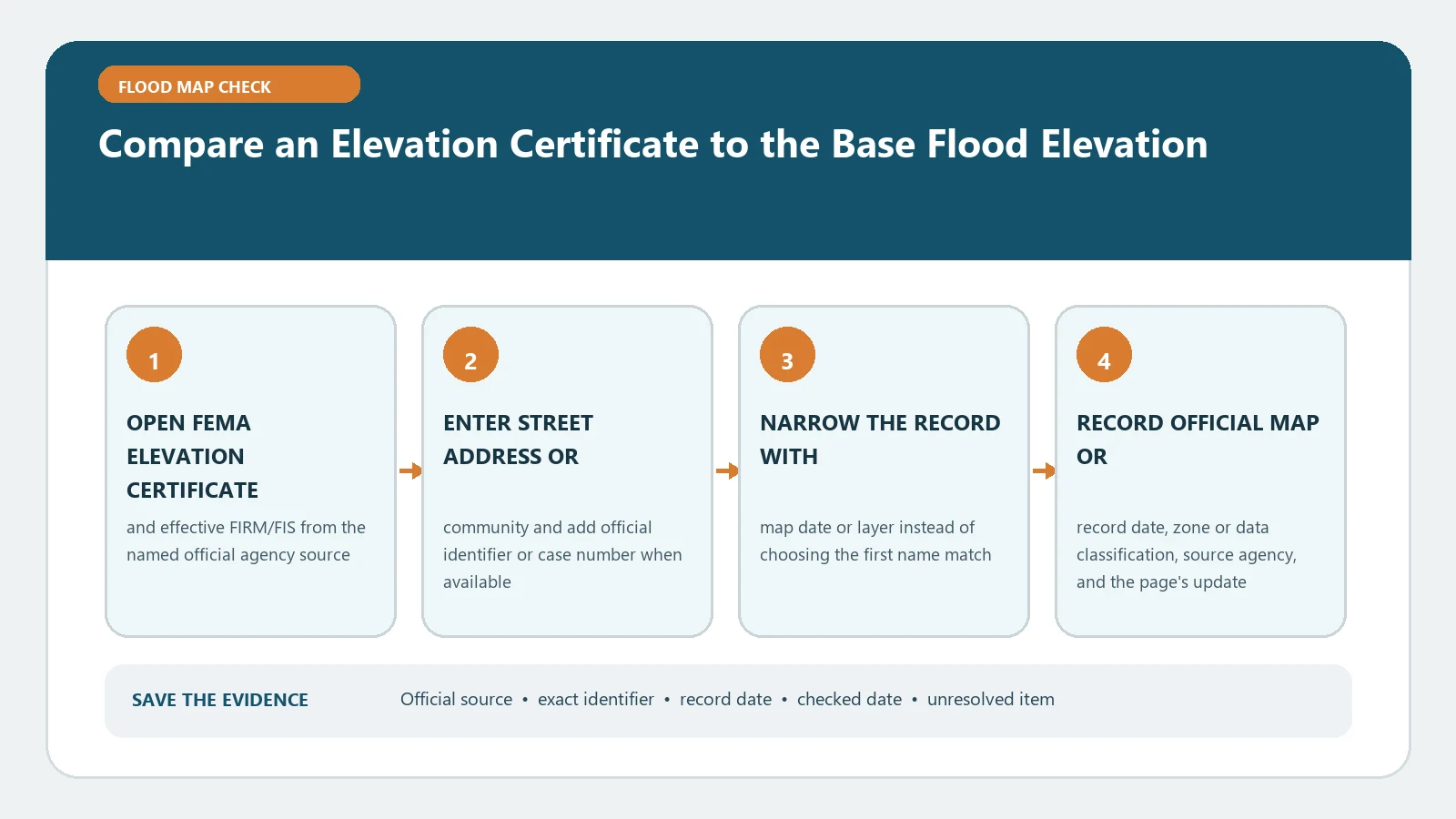
To compare an Elevation Certificate with the Base Flood Elevation, verify the building and effective map first, take the BFE and its source from Section B, select the relevant building elevation from Section C2, and confirm that both values use compatible vertical datums. Only then calculate the difference. A positive or negative number is a documented elevation relationship; by itself it is not a permit-compliance finding, insurance price, or lender decision.
The current FEMA Elevation Certificate and instructions define the fields, while FEMA’s Elevation Certificate FAQ explains that the BFE from the FIRM or Flood Insurance Study belongs in B9 and that a community’s higher standard is recorded separately. Use the FEMA Map Service Center to confirm the effective product. Sources checked August 26, 2026.
Prove that the certificate and map describe the same site
Compare the address, building use, latitude and longitude, parcel description, and building diagram with the property being reviewed. On a multi-building parcel, do not assume one certificate covers every structure. Check the certificate’s completion date against the map edition stated in Section B and the effective FIRM found in FEMA’s current search.
If the map has changed since the certificate was prepared, preserve both dates. The physical measurements may still be useful, but the map-derived zone, panel, and BFE need a fresh comparison. Check Whether an Elevation Certificate Uses the Current FEMA Form handles the separate form-edition question.
Read B9 and B10 as one claim
Section B9 records the Base Flood Elevation or depth used for the site. Section B10 identifies the source. Copy both, plus the zone, panel number, effective date, and datum. Do not substitute a design flood elevation, freeboard target, advisory elevation, or nearby label without recording its different authority.
FEMA’s FAQ says the applicable FIRM panel, FIS profile, or FIS data table is the source when FEMA has published a BFE for an A or V zone. Where FEMA has not supplied one, another hydrologic and hydraulic source may be identified under the form instructions. That exception needs its issuer, study date, and method in the record. It is not permission to estimate from the next property.
Use How to Find a Base Flood Elevation in a FEMA FIRM and Flood Insurance Study when the map shows a range or the site lies between cross sections.
Choose the building elevation that answers the actual question
Section C2 contains several different measurements. The top of bottom floor, next higher floor, bottom of the lowest horizontal structural member, garage slab, machinery or equipment, lowest adjacent grade, highest adjacent grade, and deck or stair grade are not substitutes.
For a basic floor-to-BFE comparison, identify the building diagram and the field the responsible reviewer uses for that building and zone. An elevated coastal structure can require attention to the lowest horizontal structural member rather than the walking surface a reader informally calls the first floor. An enclosure or crawlspace can change which C2 row describes the lowest floor under the applicable rule. Use Elevation Certificate Section C2 to map each row to its physical point.
Write the row label beside the number. A spreadsheet headed only building elevation invites a later user to compare the wrong surface.
Refuse arithmetic across different datums
The BFE and building elevation must refer to compatible vertical datums and units. Check Section B11, the C2 datum field, benchmark notes, and any conversion statement in the surveyor’s comments. Keep NAVD 88, NGVD 29, or another named datum attached to every elevation.
If conversion occurred, preserve the conversion source and the professional’s note. Do not apply a remembered local offset. NAVD 88 vs NGVD 29 explains why the difference varies geographically.
Calculate a labeled vertical difference
Once identity, source, field, unit, and datum match, subtract the BFE from the selected building elevation:
- write the selected C2 row and elevation;
- write B9, B10, and the effective map reference;
- confirm units and vertical datum;
- calculate selected building elevation minus BFE;
- label the result above, equal to, or below BFE by the calculated amount;
- retain the original precision rather than inventing extra decimals.
Keep any local freeboard or design-elevation requirement in another column. FEMA’s FAQ specifically separates the BFE recorded in B9 from a community higher standard. Comparing to BFE and comparing to the local design target are two different checks.
Keep three comparisons from collapsing into one
The same certificate may support three worksheets. An insurance review may need the fields used by the insurer’s current process. A floodplain-development review may compare a defined building element with the community’s adopted design elevation. A map-amendment package may focus on natural ground or lowest adjacent grade in relation to BFE. Label the worksheet’s owner and purpose before selecting a number.
If two reviewers request different C2 rows, preserve both requests rather than trying to produce a universal building elevation. Write each field’s physical point, source page, datum, and rule context. The disagreement may be legitimate because the decisions are different; it becomes a defect only when one field is presented as another.
Date each worksheet and attach the exact certificate page and map product used. A later reviewer should never have to guess which revision supplied the numbers.
Investigate contradictions before accepting the result
Pause when the building diagram conflicts with photographs, when C2a and C2b appear reversed, when the garage is mistaken for the lowest floor, when the map point falls outside the stated zone, or when a conversion appears without a source. Also pause if the certificate marks construction as unfinished or the structure has been elevated, enclosed, expanded, or substantially renovated since the survey.
List the contradiction instead of repairing the certificate yourself. A surveyor, engineer, architect, community official, insurer, or lender owns different parts of the review. If a factual error is confirmed, follow Correcting an Elevation Certificate rather than editing a PDF copy.
The finished worksheet should preserve building identity, form edition, map edition, BFE and source, chosen C2 field, both datums and units, calculation, unresolved conflicts, and review purpose. It supports a reproducible comparison. It does not certify compliance, remove a mapped designation, or guarantee a financial outcome.