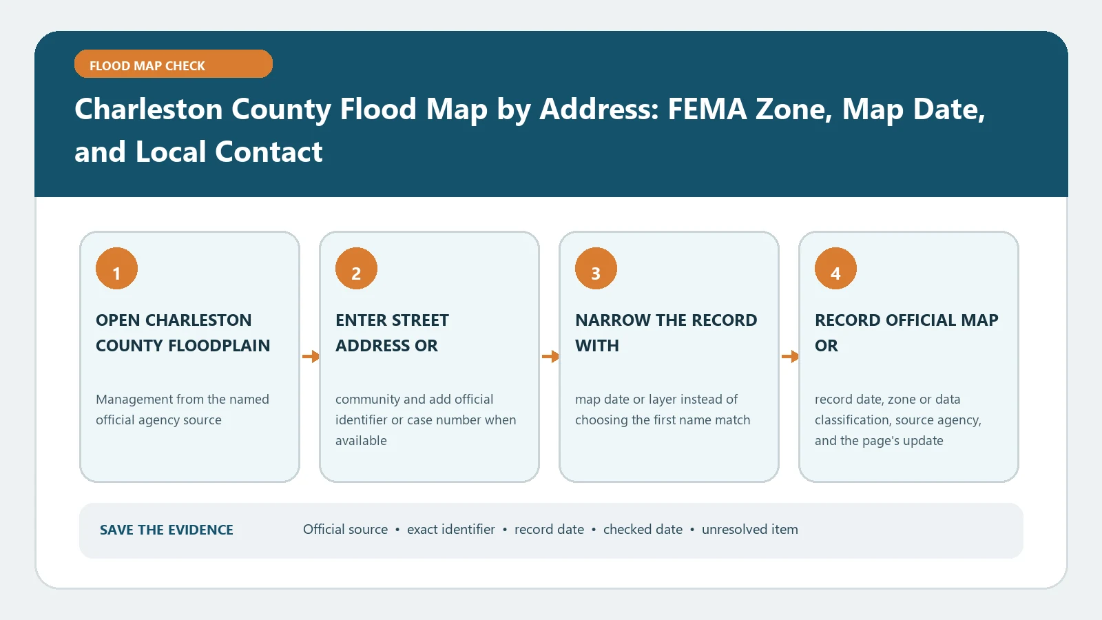
A Charleston County address check should produce three separate answers: the government that has jurisdiction, the effective FEMA map record for the correct structure, and the local office that owns the next decision. Start with the county map, confirm the parcel and building rather than accepting the first pin, then preserve the FEMA zone, panel number, effective date, and any shown Base Flood Elevation. A color on a countywide screen is useful evidence, but it is not an elevation certificate, permit approval, insurance quote, or flood-safety guarantee.
The Charleston County online-services page links its FEMA flood map and parcel viewer, while the county’s Floodplain Management page explains which local government to contact for a determination. The federal crosscheck is the FEMA Map Service Center. Checked August 26, 2026. Reopen them before a closing or permit submission because map editions, municipal responsibilities, and viewer links can change.
Decide who governs the property before reading the zone
Charleston County contains incorporated municipalities as well as unincorporated areas and places served by county departments under local arrangements. The county floodplain page tells users to obtain determinations from the applicable local government; it also names a set of communities handled through the county route. Do not infer jurisdiction from a postal city alone. A mailing address can use a familiar city name even when the parcel falls outside that city’s limits.
Build a small identity record before opening the flood layer:
- street number, street name, unit, and ZIP code;
- tax map or parcel identifier from the county parcel viewer;
- municipality or unincorporated status;
- building footprint being reviewed when a parcel has more than one structure;
- date and purpose of the lookup.
If the property sits close to a municipal boundary, confirm the jurisdiction through parcel data or the relevant local office. That one step determines where a flood-zone letter, elevation certificate request, or development question should go.
Make the county map select the right structure
Open the official county flood map from the online-services page and search the full address. Zoom until the parcel outline and building location can be distinguished. Compare the map result with the parcel identifier, nearby road geometry, and recognizable lot boundaries. On a waterfront tract, condominium site, mobile-home park, or long rural parcel, a pin near the parcel center may not identify the structure that matters.
Record the layer name and visible date instead of writing only the zone. If the viewer offers both current and older FEMA layers, make sure the current effective layer is active. The county’s underlying GIS service describes a current flood-zone layer with an effective date and also exposes parcel and address layers. The visible viewer remains a routing and inspection tool; it does not replace the official product metadata available from FEMA.
When a building footprint touches two colors, do not choose the color covering the largest part of the parcel. Save a screenshot or print view at structure scale and continue with the workflow in Flood Zone Boundary Crosses a Parcel. The relevant question may be where the building lies, where proposed work lies, or which point the lender’s determination used.
Rebuild the effective FEMA record
Search the same address in the Map Service Center. Inspect the selected location, then copy the complete map identity:
- flood-zone designation and floodway status, if shown;
- full FIRM panel number, including its suffix;
- panel effective date and map status;
- any BFE or depth shown at the site;
- vertical datum stated by the panel or study;
- incorporated Letter of Map Change information, when present.
Use FEMA Flood Map by Address if the federal product list is unfamiliar. The panel suffix and effective date belong together. An old downloaded panel with a familiar number should not be treated as current merely because its zone resembles the county layer.
Read coastal labels as different hazards, not stronger colors
Charleston’s coast makes it especially important to distinguish AE, VE, Coastal A, LiMWA, and local storm-surge information. The county floodplain page explains that the Limit of Moderate Wave Action marks a Coastal A Zone and describes the county’s construction treatment for that area. FEMA zone labels and a hurricane evacuation or storm-surge scenario answer different questions.
For a plain-language zone comparison, use Flood Zone AE, VE, and X Meaning. If a LiMWA crosses the site, preserve the line’s location and consult Coastal A Zone and LiMWA Lookup before discussing construction. Do not translate a VE label into a predicted depth at one house, and do not call an X-zone result flood-free. Drainage, rainfall, surge, and unmapped conditions can still matter outside a mapped Special Flood Hazard Area.
Diagnose a county and FEMA mismatch
First compare the search point. A geocoder can place one result on the road and another on the parcel. Next compare the layer status and effective date. Then check whether one display includes a Letter of Map Revision or Letter of Map Amendment that the other presentation has not made obvious. Finally, check jurisdiction and structure identity.
Do not average or merge conflicting labels. Preserve both records with their source names and dates. For a permit or official local determination, ask the floodplain office serving that parcel to identify the controlling local record. For an insurance or lender question, give the map packet to the agent or lender and ask which formal determination or documentation they require.
Leave each decision with its actual owner
A map check can support several conversations, but it cannot settle all of them. The local building or floodplain authority interprets adopted development rules and issues local determinations. A licensed professional prepares or certifies elevation information when required. An insurer prices coverage, and a lender applies its flood-insurance requirements. FEMA maintains the federal flood-hazard products and map-change records.
Keep one evidence packet containing the verified address, parcel ID, jurisdiction, structure marker, county layer name, FEMA panel and effective date, zone, BFE or depth with datum, screenshots or downloaded products, source URLs, and lookup date. The defensible conclusion is narrow: these named official sources displayed these fields for the selected location on the checked date. Anything stronger needs the responsible office or professional to review the same property evidence.