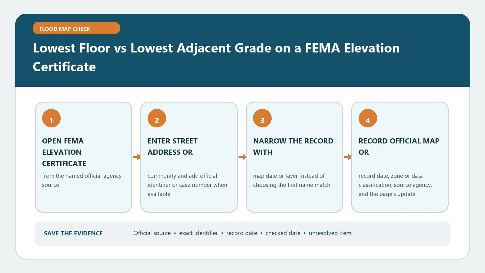
Lowest floor and lowest adjacent grade are different measurements on a FEMA Elevation Certificate. Lowest floor identifies a building level under the applicable building diagram and floodplain rules; lowest adjacent grade records the lowest ground touching the building. Use the exact Section C2 row, building diagram, unit, and vertical datum before comparing either number with a Base Flood Elevation.
The FEMA Elevation Certificate and instructions place building elevations and adjacent-grade measurements in separate C2 fields. FEMA’s map-amendment training explains why lowest adjacent grade or lot elevation can be compared with the BFE when testing whether a mapped property or structure may qualify for a map-change request. Checked August 26, 2026.
Locate the two measurements on the physical building
Walk around the structure or use a clear survey sketch before reading numbers in isolation. Lowest adjacent grade is the lowest point of ground immediately next to the building. It may occur beside a corner, an areaway, an attached element, or a side that is not visible from the street. The certificate also provides a separate finished-grade field at an attached deck or stairs because those features can create another relevant contact point.
Lowest floor depends on the construction. It may involve the top of a slab, basement or enclosure floor, next higher floor, or the bottom of the lowest horizontal structural member in a coastal building. FEMA Elevation Certificate Building Diagram Numbers helps connect the observed foundation to the form’s diagram family.
Read the C2 row name every time
Do not copy a column of elevations into a spreadsheet that removes row letters. Preserve the field label beside each value:
- C2a for the top of the bottom floor, including a basement, crawlspace, or enclosure floor;
- C2b for the top of the next higher floor;
- C2c for the bottom of the lowest horizontal structural member where applicable;
- C2f for lowest adjacent grade next to the building;
- C2g for highest adjacent grade;
- C2h for finished lowest adjacent grade at an attached deck or stairs, including support.
The current form instructions control the detailed use of these fields. Elevation Certificate Section C2 gives a field-by-field reading route without collapsing them into one floor elevation.
Use lowest floor for a building-level question
A floodplain development or elevation review may compare a defined lowest-floor or structural-member elevation with the BFE or a local design elevation. The correct C2 field depends on zone, foundation, enclosure, flood openings, coastal conditions, occupancy, and adopted local rules. The walking surface a homeowner calls the first floor may not be the regulatory field a reviewer needs.
Write the decision question first. Then record the selected C2 field, its physical point, and the rule or reviewer requiring it. Keep FEMA BFE and any community freeboard or design target in separate rows. Compare an Elevation Certificate to the Base Flood Elevation provides the controlled arithmetic after those choices are documented.
Use lowest adjacent grade for a ground relationship
Lowest adjacent grade answers how the ground immediately beside the building relates to an elevation reference. FEMA training uses LAG in the map-amendment context because natural ground or the building’s relationship to the BFE can matter to whether a structure was inadvertently mapped in a Special Flood Hazard Area.
That does not mean every LAG above BFE automatically produces a LOMA. The request type, natural-grade or fill history, legal property evidence, effective map, survey certification, and FEMA review still control. Nor does a high LAG prove the lowest floor meets a local construction standard. These are separate findings built from different measurements.
Distinguish natural and finished grade
The current certificate asks whether adjacent-grade entries are natural or finished. Preserve that selection. Grading, fill, landscaping, drainage work, foundation excavation, or later construction can alter finished ground. A map-change request based on natural grade and a present-site permit review may therefore require different evidence.
If the certificate does not explain a visible grade change, attach the observation as an unresolved question. Do not relabel finished grade as natural grade or infer pre-construction terrain from today’s yard. Route fill-history questions to the survey and map-change professionals responsible for the application.
Keep datum and units attached to both numbers
LAG, lowest floor, and BFE comparisons require compatible vertical datums. Read the C2 datum, B9 or source datum, benchmark description, and any conversion note. A value in feet NAVD 88 cannot be subtracted from a value in feet NGVD 29 without a documented conversion. A depth above ground is not a geodetic elevation at all.
Preserve the certificate’s precision. Do not round one value to a whole foot and present the difference as survey accuracy. If the datum is blank or the benchmark cannot be traced, stop the comparison and ask the certifier.
Use a four-question field interview when the labels are disputed
Ask the preparer where the lowest-floor point was physically measured, where the lowest adjacent grade was found, whether that grade was natural or finished, and which building diagram controlled the field choice. Request a marked photograph or sketch when words alone do not distinguish an enclosure, crawlspace, deck support, or attached garage.
Record the answers beside the original certificate rather than rewriting its fields. This produces a review trail and helps the certifier decide whether an explanatory comment, corrected form, or new site visit is necessary.
Investigate a field pattern that makes no physical sense
Review photographs and the building diagram when lowest adjacent grade appears above highest adjacent grade, the bottom-floor elevation lies below a slab that should be the same surface, or a deck-grade value is treated as the buildingwide LAG. Also investigate when attached additions, enclosed areas, new fill, or relocated equipment postdate the certificate.
Do not repair numbers in a copy. Follow Correcting an Elevation Certificate and preserve the original, question, professional response, and corrected record.
The finished measurement sheet should name each physical point, C2 row, value, unit, datum, building diagram, map and BFE source, grade condition, certificate date, and intended decision. It proves which measurements were compared. It does not issue a map amendment, certify compliance, or decide insurance.