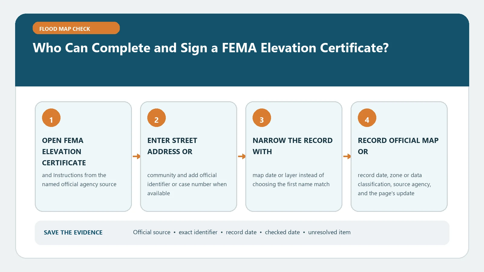
A FEMA Elevation Certificate is not signed by one universal preparer. For certified elevations, the current form’s Section D is signed and sealed by a land surveyor, engineer, or architect who is authorized by the applicable state law to certify elevation information. Community officials can complete specified floodplain-management sections within their legal authority, and limited owner or representative entries do not replace professional certification when certified elevations are required.
Use the current FEMA Elevation Certificate and instructions as the section-by-section authority. Confirm the edition through FEMA’s Underwriting Forms page and the latest NFIP direction, including bulletin W-26002, which as of August 26, 2026 directed continued use of the existing form while an update was under review.
Assign a responsible person to each section
Before commissioning or accepting the certificate, list the sections needed for the purpose and the person responsible for each. Property identification, flood-map information, surveyed elevations, comments, community review, and attachments come from different evidence and may involve different people.
The person who gathered the address is not automatically qualified to certify elevations. The survey professional who measured the building does not automatically own a municipality’s adopted-rule interpretation. A local official who supplies a community map value may not have surveyed the floor. Keep those roles visible rather than asking one signature to validate every fact on the form.
Elevation Certificate Sections A and B helps verify that the property and effective map are correct before a certification is treated as complete.
Let state law determine professional authority
The FEMA form names land surveyors, engineers, and architects, but it qualifies that list with authorization under state law. A professional title alone is not enough. Verify the license type, active status, jurisdiction, and whether that profession may certify the relevant elevation information in the state where the property is located.
Do not assume a license in one state carries into another. Do not infer authority from company branding, a business registration, or experience preparing similar documents. When scope is unclear, consult the state licensing board and local floodplain authority before the work is signed.
Read the Section D certification as a bounded statement
Section D contains the surveyor, engineer, or architect certification and calls for the authorized signer’s identifying information, license number, signature, date, and seal. The signer certifies the information on the certificate as the form states; the signature is not a guarantee against flooding or a substitute for another agency’s decision.
Check that the seal and license details are legible, the signature date is present, and the signer matches any accompanying survey or benchmark notes. Compare the certification with the building diagram, C2 measurements, datum, photographs, and comments. Elevation Certificate Section C2 can expose a mismatch between the signed measurement schedule and the physical points shown.
Understand the community official’s role
The instructions allow community officials authorized by law or ordinance to provide floodplain-management information and complete specified parts of the form. A local official may confirm community, map, zone, BFE, permit, or compliance information within that office’s records and authority.
That route should not be read as blanket permission for any public employee to sign surveyed elevations. Record the official’s title, department, statutory or ordinance authority when relevant, fields completed, source records, and date. If the community relies on a professional’s certified measurements, retain both roles in the file.
Do not stretch the limited owner or representative route
The instructions provide limited circumstances in certain zones without published BFEs or with depth information where a property owner, authorized representative, or local official may supply specified compliance information. Those provisions depend on zone, purpose, and section. They do not turn an owner’s estimate into certified survey data.
When the certificate supports a LOMA, CLOMA, LOMR-F, or related map-change request that requires certified elevations, follow the professional-certification requirements stated in the form instructions. FEMA LOMA Application Documents shows how the certificate fits with deed, plat, map, and elevation evidence.
Check the signature against the intended use
Ask why the certificate is being prepared: local construction compliance, floodplain records, insurance information, a lender file, a map-change request, or another purpose. Then ask the receiving party which sections and certifications it requires. A form suitable for one administrative record may lack the certified elevations or attachments needed for another.
If a certificate is old, a changed form edition does not automatically erase the earlier measurement. Check site alterations, new map data, professional scope, completeness, and recipient requirements. Use Check Whether an Elevation Certificate Uses the Current FEMA Form for new-work guidance and edition evidence.
Reconcile work contributed by more than one professional
A field crew, survey company, engineer, architect, mapper, and community reviewer may all contribute information. The final record should show who measured, who calculated or converted, who selected the building diagram, who supplied the flood-hazard fields, and who ultimately signed each certification. Do not attribute every intermediate task to the seal holder without documentation.
When a consultant prepared a worksheet used by the signer, retain that worksheet and its source data. The authorized signer remains responsible for the certification stated on the form, while the project file preserves how the values were produced. Missing provenance is a reason to ask, not a reason to invent a contributor.
Verify credentials with the issuing authority
Use the applicable state licensing board’s public lookup to match the person’s name, profession, license number, status, and jurisdiction on the certificate. Save the lookup date and public record URL. A similarly named professional or an active business entity is not enough to establish the individual’s certification authority.
Keep private contact or payment information out of the verification file. The useful evidence is the official license record, the form’s signature and seal, the scope question, and the receiving authority’s answer when state-law boundaries remain unclear.
Build a signer verification record
Save a signer verification record with:
- property, structure, certificate purpose, and form edition;
- sections completed and the preparer responsible for each;
- professional name, license, jurisdiction, status, and lookup date;
- signature, seal, community-official role, and legal authority when used;
- map and datum sources, attachments, and unresolved scope questions.
The record supports a limited conclusion: the identified person completed and certified the specified fields under the documented role. It does not prove every statement outside that role, guarantee acceptance by FEMA or a lender, or certify the building as safe. If authority, license status, or section ownership remains uncertain, pause the submission and ask the licensing board, local floodplain office, or receiving program to confirm what it will accept.