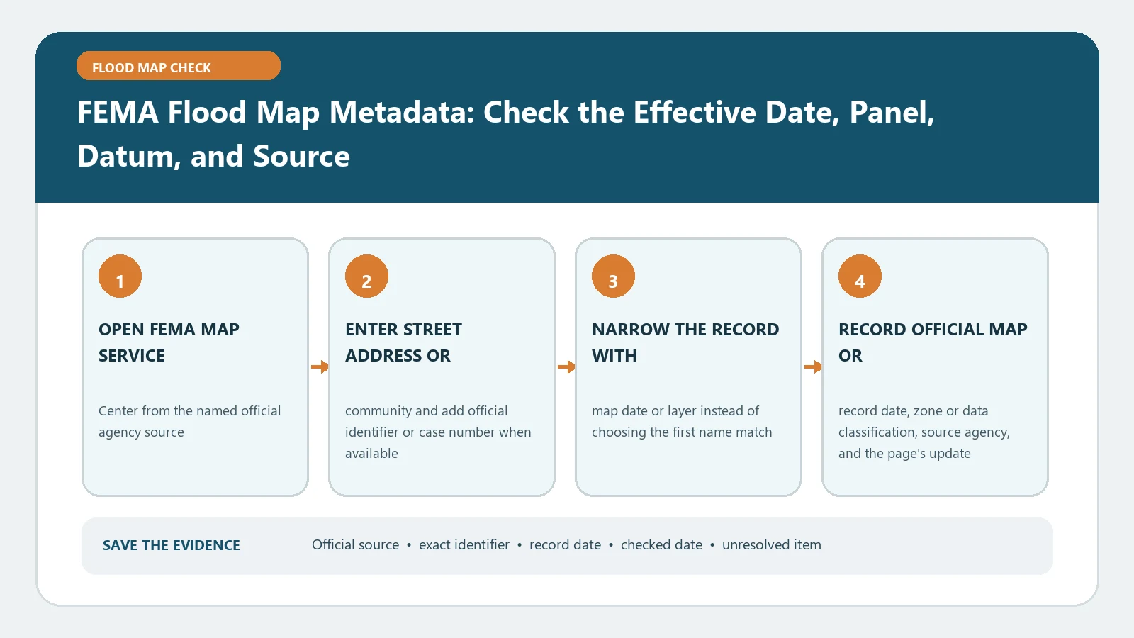
A FEMA flood map result is usable only when the location and the map edition travel together. For one address, save the selected point, community or countywide number, full panel number with suffix, effective date, map status, flood-zone label, applicable vertical datum, and the exact FEMA product used. A zone color copied without those fields cannot show which map governed on the day of the lookup.
Use the FEMA Map Service Center as the federal starting point. FEMA describes the Map Service Center as the official public source for NFIP flood-hazard products in its map-reading training. Checked August 26, 2026. The search interface and product availability can change, so save the retrieval date and reopen the live source before a closing, permit filing, or insurance review.
Start with a location identity card
Enter the complete street address, place, or coordinates. Then inspect the pin instead of assuming the geocoder selected the building. If the point falls on a road, neighboring parcel, common driveway, or the center of a large lot, reposition it only with a defensible parcel or building reference and record what changed.
Copy these values before interpreting a hazard layer:
- searched address or coordinates and the lookup date;
- parcel or structure identifier used to verify the point;
- community name and community identification number, or countywide identifier;
- full map or panel number, including the trailing suffix;
- panel effective date and whether the displayed product is effective, preliminary, pending, or historic;
- flood zone, floodway status, and any shown BFE or depth;
- product name, download filename, and source URL.
This identity card prevents two common errors: attaching the right flood label to the wrong structure and attaching an old panel to the right structure. For a wider introduction to the product hierarchy, use FEMA FIRM Panel and FIRMette Guide.
Reconstruct the complete panel number
FEMA training explains that a FIRM panel identifier combines the mapped community or countywide identifier, an individual panel number, and a letter suffix. The official panel-number lesson also notes that panels in one community can be updated at different times. Preserve the complete identifier rather than copying only the four-digit panel segment.
Treat the suffix as an edition marker, not a date. A later letter can indicate another issuance of that panel, but it does not replace the effective date field. Compare panels by exact geographic coverage, suffix, and effective date together. If a FIRM Index and an individual panel appear inconsistent, open both title blocks and determine whether the index, only selected panels, or the entire study was revised.
Decide which date answers the question
The effective date identifies when a map or revised panel became effective for NFIP mapping purposes. A preliminary issuance date describes a proposal under review. A pending map may have a future effective date. A download date merely records when you obtained the file. Put each in a separate field.
For a decision today, begin with the effective FIRM and then inspect incorporated map changes. For a future project, keep the effective and preliminary or pending results side by side without merging their labels. For a historical question, retrieve the historic panel and state the date interval being investigated. Flood Map Update Date Check gives a separate workflow for that edition problem.
Read the source product before reading the color
The Map Service Center can expose several products. A FIRM panel is the adopted map sheet. A FIRMette is a printable portion of effective map information. The NFHL viewer displays digital flood-hazard layers. A FIS report contains study text, profiles, and tables. A preliminary product shows a proposed map. A Letter of Map Change can alter the mapped status for a property or area without changing the printed panel image.
Record the source product because identical-looking colors can come from different statuses or purposes. In the Map Service Center result, open the product list and the Changes to this FIRM area when available. Do not call a local planning layer a FEMA effective determination merely because it resembles the federal legend.
Keep vertical datum attached to every elevation
An elevation has no decision value without its datum. A BFE may be referenced to NAVD 88, NGVD 29, or another datum named by the study. A survey or Elevation Certificate may use a different reference. FEMA’s FIRM graphics guidance places panel-specific information in the title block and requires datum information within the map product.
Write the number, unit, datum, source, and location together. Never subtract a building elevation from a BFE until the two values refer to compatible datums and the same site. If conversion is needed, have the responsible survey or engineering professional document the method. NAVD 88 vs NGVD 29 explains why a remembered conversion offset is unsafe.
Resolve four metadata failures
When the address produces no digital flood data, search by coordinates and community, then open Show All Products for the community. A blank address result may be a geocoder or coverage problem, not proof that the property is unmapped.
When two panels seem to cover the point, verify the boundary at parcel scale and record both candidates. Ask the local floodplain administrator or a FEMA Map Specialist to confirm the controlling panel when the structure is near a seam.
When the viewer and a downloaded panel disagree, check status, effective date, incorporated revisions, and the pin. Retain both artifacts until the discrepancy has an identified cause.
When an elevation lacks a datum, stop the comparison. Retrieve the FIS or panel notes and the survey source instead of assigning a likely datum.
Save a reviewable map evidence packet
Keep the search input, selected coordinates, parcel proof, full panel identifier, effective date, map status, zone and floodway label, BFE or depth with unit and datum, product filename, any relevant LOMC case number, source URLs, and checked date. Add a short unresolved-items note rather than forcing a yes-or-no conclusion.
The defensible result is narrow: the named FEMA product displayed the recorded fields for the verified location on the checked date. It does not by itself locate a legal parcel boundary, quote insurance, decide a lender requirement, certify an elevation, or approve development. Route those decisions to the surveyor, insurer or agent, lender, and local floodplain office that owns them.