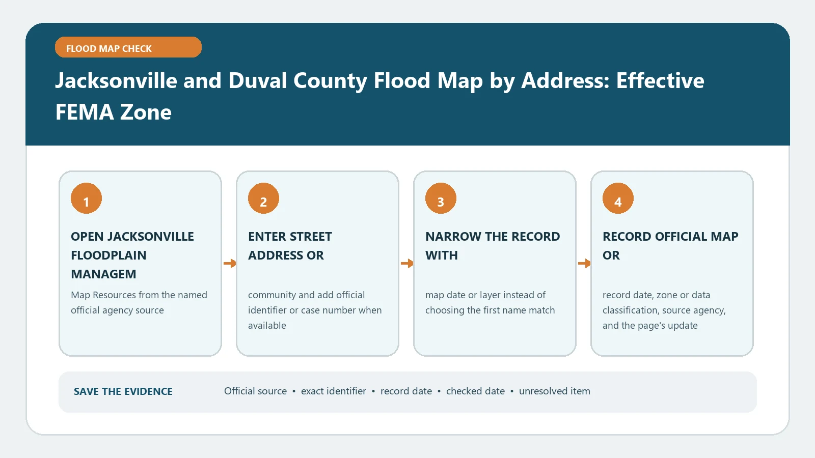
For a Jacksonville or Duval County address, use the city-directed JAXGIS route to identify the parcel, then verify the effective FEMA panel before stating a flood zone. The property search and the flood layer are separate steps. A search result proves only that the system found a candidate record until the Real Estate Number, address, and building location agree.
Jacksonville’s Review Group FAQ directs flood-zone users to JAXGIS and tells them to open Duval Civil Planning, Layers, and Flood Plains. The official Duval Civil Planning Map supports parcel, address, street, intersection, and Real Estate Number searches. Checked August 26, 2026.
Choose the strongest Duval search key
Use the Real Estate Number when a reliable property record supplies it. Otherwise start with the root street address, omitting apartment or suite data that may not exist in the parcel index. The viewer also supports street and intersection searches, but those locate an area rather than proving a parcel.
Confirm property address, owner or parcel context, ZIP code, municipality selection, and map geometry. If one address returns several records, identify the parcel containing the structure. Save the input exactly; changing from an address to a Real Estate Number should be documented as a recovery step.
Turn on the flood layer deliberately
After selecting the parcel, open Layers, locate Flood Plains, and enable the floodplain information relevant to the task. Keep the layer name and legend visible. Click the building location or parcel and record the returned flood-zone, floodway, BFE, or other fields exactly as labeled.
Do not infer that every field applies uniformly across a large parcel. If a boundary crosses the property, note whether it intersects the building, access route, or proposed work area. Screen pixels are not a survey, so route a boundary-critical decision to the City or a qualified survey professional.
Verify the effective federal record
Open the FEMA Map Service Center with the same address or coordinates. Copy the full panel number, suffix, effective date, zone, floodway status, and displayed BFE or depth. Retrieve the panel or FIRMette and inspect map changes for the location.
If JAXGIS and FEMA disagree, check the selected point, layer status, update date, and whether one source displays local planning information. Use FEMA Flood Map by Address to preserve the federal query and product details. The effective FEMA product, not a generic basemap color, answers the current FEMA-zone question.
Read Jacksonville zone details in local context
Jacksonville’s official Floodplain Definitions explains local zone and BFE terminology and warns that property outside an SFHA can still experience flooding. Record Zone A, AE, AH, AO, VE, shaded X, unshaded X, D, or floodway precisely; do not shorten every A-family result to flood zone A.
Use Flood Zone AE, VE, and X Meaning as a reading aid, then return to the City and FEMA records. An AO depth number, AE BFE, and Zone X label are different data types. Keep units and vertical datum with any elevation.
Add the City’s confirmation and certificate route
Jacksonville’s Floodplain Management page identifies Development Services as the route for flood-zone determinations and copies of available Elevation Certificates. For a permit, transaction, or ambiguous boundary, provide the exact address, Real Estate Number, map panel, checked date, and disputed field.
If an Elevation Certificate is available, verify that it describes the same structure and construction stage. Keep diagram number, panel, BFE, datum, lowest relevant elevations, signature, and certificate date. Where to Send an Elevation Certificate separates the City, insurer, lender, and FEMA uses.
Convert the lookup into a field card
Create one card with the search key used, selected Real Estate Number, property address, map coordinates, active JAXGIS flood layer, displayed zone or floodway, FEMA panel and effective date, BFE or depth source, and checked date. Attach the saved print or PDF and write down any manual point movement. A second reader should be able to repeat the search without guessing which Flood Plains layer was active.
- Identity line: root address, Real Estate Number, parcel, and exact structure.
- JAXGIS line: search key, selected result, active layer, returned fields, and saved output.
- FEMA line: complete panel, suffix, effective date, zone, floodway, BFE or depth, and map changes.
- Decision line: City confirmation, certificate reference, recipient, and unresolved spatial question.
Keep the parcel result and the building result distinct. If a flood boundary crosses only a remote part of the parcel, describe that geometry without declaring the structure inside or outside from visual estimation. If proposed work sits in the crossed area, identify it on the plan and request City review.
Route FEMA, permit, and insurance consequences independently
The effective FIRM supplies federal map status. Jacksonville applies its floodplain and building requirements through local review. A lender or insurer uses its own determination and underwriting process. Give each recipient the same verified property identifiers, then ask for that recipient’s result in writing.
For development, include the project description, grading or fill, structure location, floodway relationship, and intended elevation verification. For insurance, identify the building and current map but leave pricing and coverage conclusions to the licensed carrier route. For a lender notice, follow the named reconsideration or determination procedure instead of asking JAXGIS to reverse the notice.
Recover from four Duval failures
When no address result appears, retry the Real Estate Number and normalize directional or street suffixes. When the parcel highlights but no flood layer identifies, confirm that the correct layer is active, the scale is sufficient, and the point lies within layer coverage.
When a boundary crosses the parcel, save the full geometry and ask for structure-specific confirmation. When an older document shows a different zone, compare its panel suffix and effective date with the current product and inspect intervening map changes.
Keep a failure log with query, viewer, selected record, layer, timestamp, and what was missing. That gives City staff a reproducible question instead of a report that the map did not work.
When the interface returns too many records, narrow with the Real Estate Number, exact street range, ZIP code, or parcel geometry rather than selecting by owner name alone. Ownership can be stale or shared. When a new address has no match, trace the prior address or parent parcel through the local addressing and property record before concluding that flood data is absent.
Build the Duval evidence record
The final record should include address, Real Estate Number, parcel and structure match, JAXGIS layer, effective FEMA panel metadata, zone, floodway, BFE or depth with datum, any City confirmation or Elevation Certificate, source URLs, and checked date. State whether the building is clearly inside, clearly outside, crosses, or cannot be resolved at the displayed scale.
That record does not certify a legal boundary, promise that flooding will not occur, quote insurance, or approve construction. It tells the lender, insurer, surveyor, or City reviewer exactly which official facts were found and which decision remains theirs.