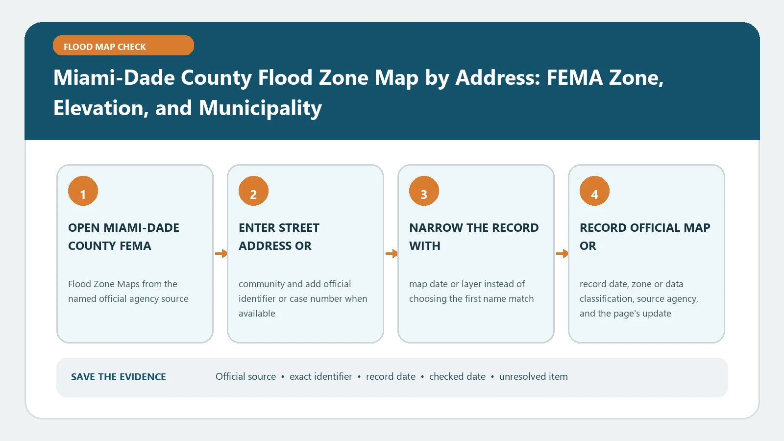
For a Miami-Dade address, identify the municipality and parcel before reading the flood-zone layer. The countywide map can display FEMA information, but incorporated municipalities may administer their own permits and floodplain files. A map pin, zone label, and elevation number should stay attached to the exact folio and the map edition.
Miami-Dade’s official Flood Zone Maps page routes residents to the county interactive tool and explains the difference between effective and preliminary mapping. Open the Miami-Dade Flood Zone application for the address lookup and the FEMA Map Service Center for the controlling federal product. Checked August 26, 2026.
Clear the jurisdiction gate
Start with the complete street address and folio number if available. Confirm whether the parcel is in unincorporated Miami-Dade or inside a municipality. Record the municipality field rather than inferring jurisdiction from the postal city. If an address spans several folios, make one row for each parcel and identify the structure location.
The jurisdiction result controls where permit requirements, local elevation records, and written flood-zone confirmation are requested. County guidance can explain the county map, but it should not be presented as a municipal permit decision without verification from that municipality.
Run the county address search as an identity test
Enter the root address without a unit first. Select the result whose street number, street name, ZIP code, folio, and municipality agree. Zoom to the structure and check that the pin does not land on a street, common parcel centroid, or neighboring building.
Capture the query, selected folio, municipality, zone label, displayed elevation field, map or layer name, and lookup date. If the interface offers a print or report function, save the full legend and identifying fields instead of a cropped color patch. FEMA Flood Map by Address gives the federal crosscheck sequence.
Separate effective and preliminary layers
Miami-Dade’s page notes that preliminary maps are not the currently effective maps and may change during review. Label each screenshot and field as effective or preliminary. Do not combine the proposed boundary from one layer with the effective date from another.
In the Map Service Center, retrieve the effective panel or FIRMette and copy the full panel number, suffix, effective date, zone, and any BFE. Inspect map changes affecting the location. If the county tool and FEMA product disagree, compare selected point, layer status, update date, and incorporated LOMCs before asking the appropriate floodplain office to confirm the result.
Interpret zone and elevation as separate fields
A zone identifies a mapped flood-hazard category. A shown elevation may be a BFE or another map attribute; it is not automatically the surveyed elevation of the building. Record the field label, number, unit, and datum exactly. Where no BFE is shown, do not copy a nearby value across a boundary.
Use Flood Zone AE, VE, and X Meaning for the legend, then return to the local source. Miami-Dade also warns that floods can occur outside the hazards displayed on FEMA maps. The FIRM is not a drainage complaint map, sea-level scenario, storm-surge forecast, or finished-floor survey.
Add an Elevation Certificate only for its own job
Miami-Dade’s Elevation Certificates page says the county has collected certificates from builders and developers since 1995 and provides a search route for some later records. Search by the verified address and folio, then confirm that the certificate belongs to the same structure and construction stage.
Copy the certificate date, building address, diagram, map panel, BFE, datum, surveyed elevations, signature, and whether it represents drawings, construction, or finished construction. A blank online search does not prove no certificate exists; the county notes that some held files may not be scanned. Compare an Elevation Certificate to BFE helps audit the two records.
Route the result by decision type
- For flood-zone confirmation, use the county or municipality route that owns the property and preserve its written response.
- For a permit or substantial-improvement project, ask the responsible local building and floodplain office which map, elevation, and certificate stage it requires.
- For insurance, give the verified map and building documents to the licensed agent or insurer; the viewer does not quote a premium.
- For a lender dispute, follow the lender’s written review route and any applicable FEMA determination process; a screenshot does not change the notice.
- For drainage or repetitive street flooding, use the county or municipal service route because that observation may not appear on the FIRM.
Recover from a bad Miami-Dade match
If no address appears, retry the folio, remove unit data, and confirm the property is not in a neighboring municipality or newly assigned address. If several parcels appear, map the building footprint to the correct folio rather than selecting the first result. If the elevation looks implausible, verify its field name and datum before comparing it with a survey.
For a boundary-touching building or a transactional decision, request confirmation instead of estimating from screen pixels. Keep the failed queries and conflicting artifacts so the office can reproduce the problem.
Audit the result against the planned action
Run a final question-specific check before sending the packet. A buyer needs the effective map edition, building identity, available certificate, and unresolved boundary issue. A renovation team needs the responsible municipality, permit scope, applicable local elevation rule, and required certificate stage. An owner comparing insurance options needs a confirmed structure and current map facts but must obtain pricing from the insurer. A drainage complaint needs dates, photographs, and local service routing, not a rewritten FEMA zone.
For each use, mark the decisive field, its source, and the party who can change the answer. This prevents a county map screenshot from being reused later as if it were a survey, municipal permit finding, lender determination, or insurance quote. Recheck the viewer and effective panel when the transaction or filing date changes.
Preserve a Miami-Dade decision packet
Save jurisdiction, address, folio, structure point, county layer, effective FEMA panel, full identifiers and dates, zone, BFE if applicable, datum, relevant certificate, checked date, and unresolved question. The conclusion should say what each official source displayed for the verified property. It should not claim that the property cannot flood, that coverage is optional, or that a proposed project complies.